Calapooia
2. End of pavement to McClun Wayside Park
| Difficulty | II-III |
| Length | 6.1 mi |
| Avg Gradient | 30 fpm |
| Gauge | Wiley Creek Near Foster, or |
| Flow Rate as of 26 minutes | 14 cfsbelow recommended |
| Reach Info Last Updated | June 11, 2019 |
The Wiley Creek gage is the closest actual gage, and is about 40% of what you will have in the Calapooia River.
Pat Welch has a correlation gage that can be used as well. 500-2000 cfs on Pat Welches is worth doing, 1,000-1,500 is most common: http://levels.wkcc.org/?f=cx3
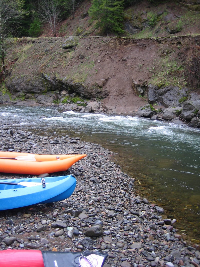
There are a couple pull outs at the point where the road turns to gravel where there is room to park, with a convenient put in spot.
Do not go past the pavement when doing this run, or you may face a $115 ticket. This is a change from the past, and guidebook descriptions may be off. The rules are clearly posted where the pavement ends, and listed below.
Upper Calapooia Road
The road is open to the public unless the gates are closed. We will post a notification on our website when we are going to close the gates.
The road is posted no parking from the end of the pavement to the national forest boundary. Law enforcement is writing citations to anyone who violates the no parking restriction.
There is no legal access to the river from the public road until you get into the national forest.
. Weyerhaeuser is actively logging in the vicinity so be very cautious and watch out for log trucks
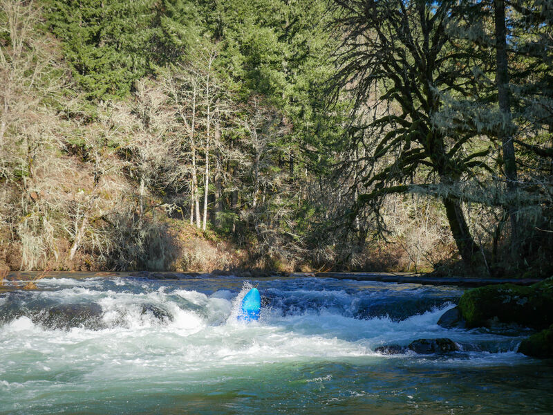
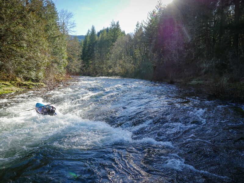
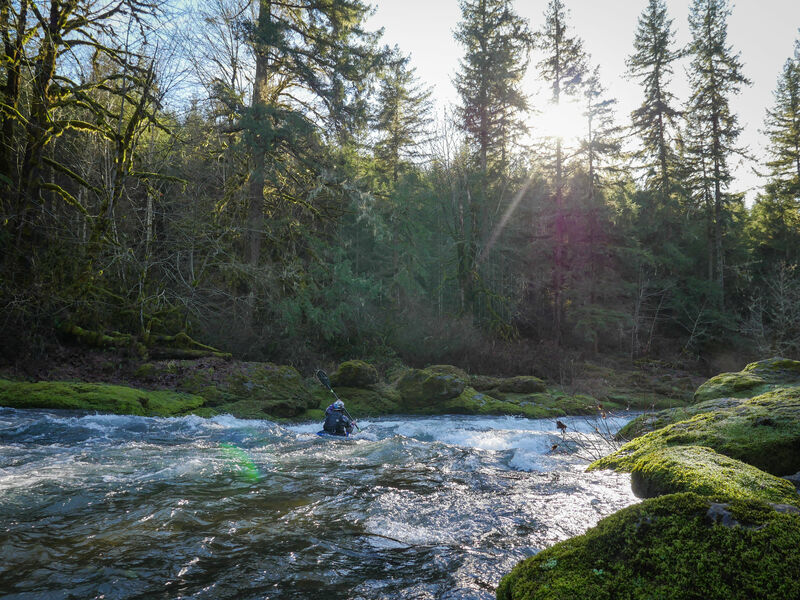
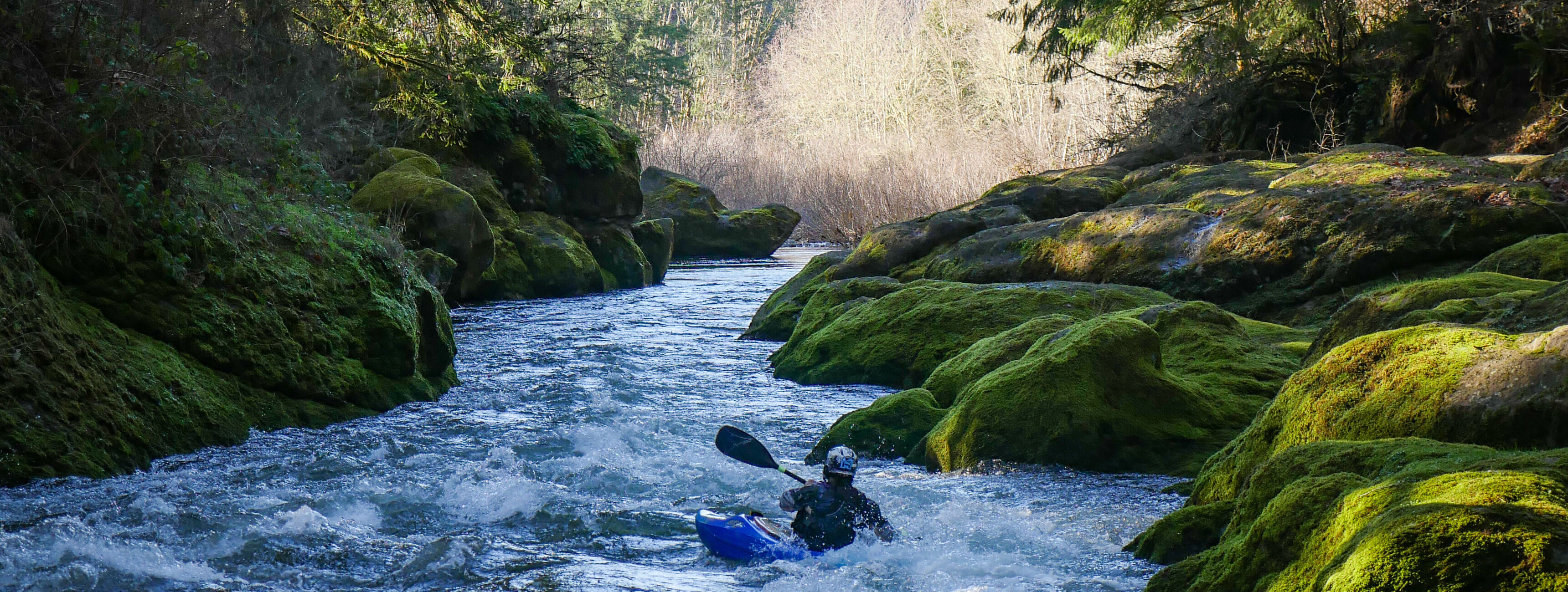
The run starts off right away with defined class II rapids, keep an eye out for opportunities to play around throughout the run. A stand out rapid early on ends in a mini-gorge, this is one of the more scenic spots on the run. Just below the mini-gorge is a large rock in the center of the river, the small rapid just below the midstream rock ends in a short bedrock ledge creating a sticky hole that can be boofed over, or snuck on the right. For more advanced boaters, this hole has eddy service and is a good place to practice workin
...Nov 17, 2020
As of 11/15/2020 there were at least two nearly river wide logs in this section. They were visible from the road, one going up and the other coming back. We decided they were significant enough not to run the section.
Jan 22, 2019
January 22, 2019 a group reported the following after running the Upper Calapooia.............................................................................................................................................
'While the gate is open, and the road is public, the land between the road and river is still owned by Weyerhauser... from the gate to milepost 24 or so (where the national forest boundary is). Our group got two $115 tickets for parking [at the 13 mile bridge], and a warning that we could be arrested for criminal tresspassing.' -Jason Filcman
Apr 13, 2007
Nice spring run, just barely runnable for kayaks.