Deschutes
K. US 26 (Warm Springs) to Sherars Falls (Lower Deschutes Segment 1 and 2)
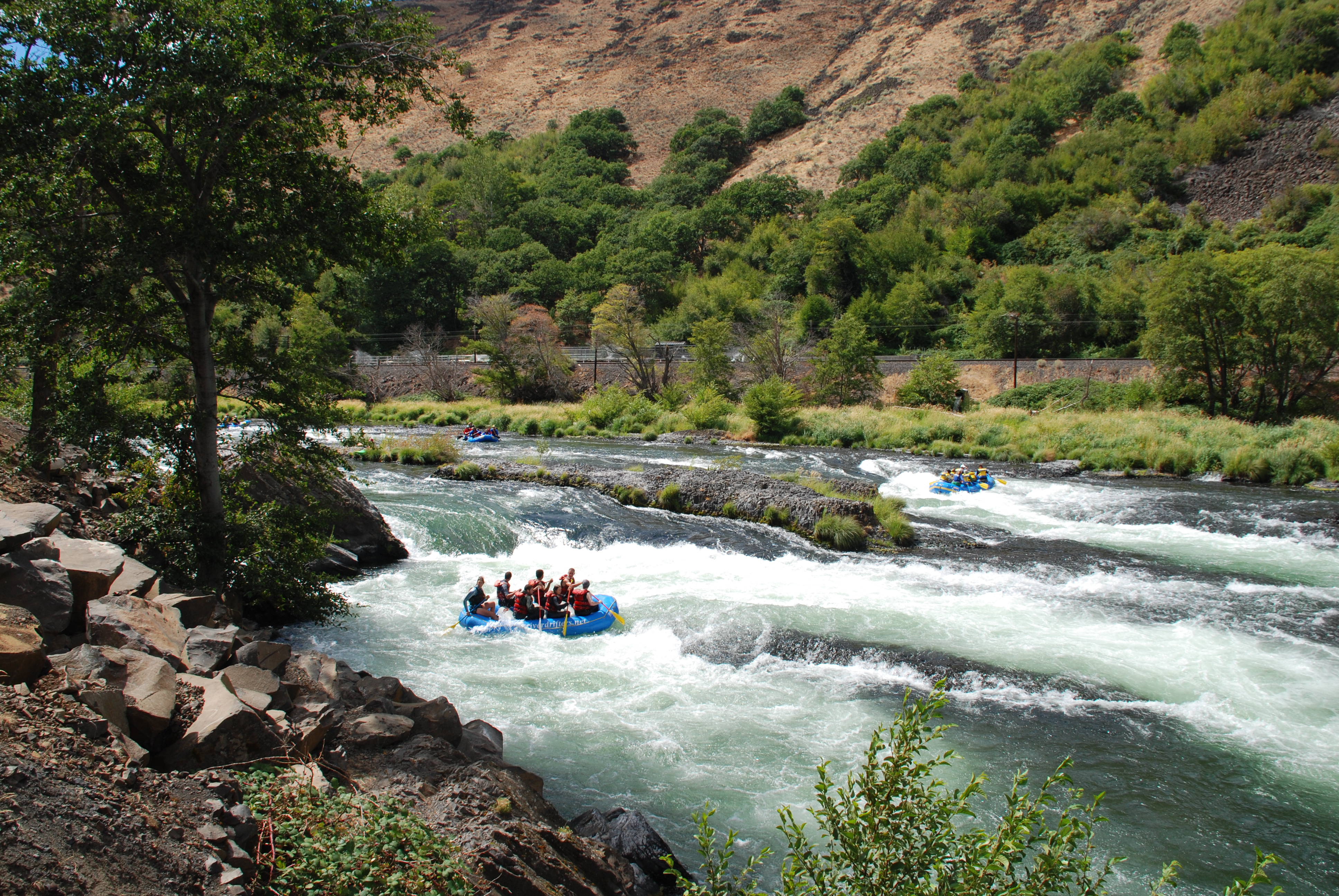
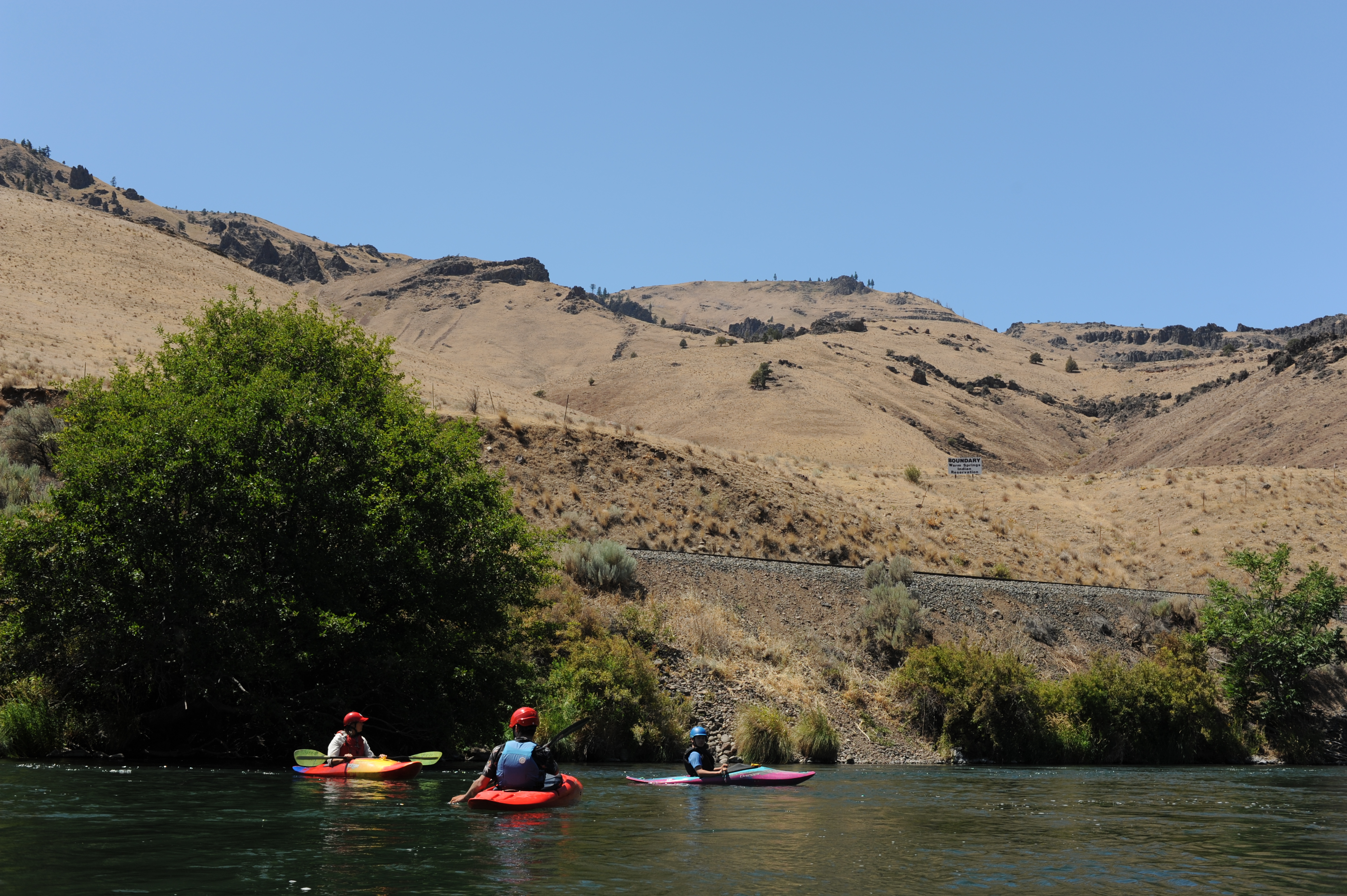
A sign on river left marks the reservation boundary near river mile 69. From this point downstream public land can be found on both sides of the river although private parcels are interspersed.
Thomas O'Keefe and Rie Yamazaki
Jul 19, 2021
n/a