Deschutes
K. US 26 (Warm Springs) to Sherars Falls (Lower Deschutes Segment 1 and 2)

| Difficulty | III |
| Length | 52.8 mi |
| Avg Gradient | 12 fpm |
| Permit | Boater pass available through online reservation system with available launches distributed on a rolling basis. |
| Gauge | Deschutes River at Moody, Near Biggs, or |
| Flow Rate as of 35 minutes | 3920 cfsrunnable |
| Reach Info Last Updated | January 13, 2026 |
The National Conservation Lands—a 26-million-acre collection of national monuments, wilderness areas, wild and scenic rivers, trails, and historic sites—are managed by the Bureau of Land Management (BLM) to conserve some of the most treasured landscapes in the American West. Established administratively by the BLM in 2000 and made permanent [...]Read More
SEASON: All year possible. The summer is most popular for both private trips and commercial outfitters.
DESCRIPTION:
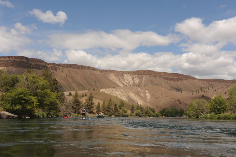
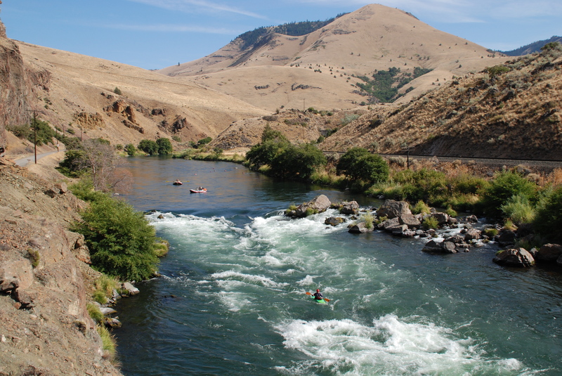
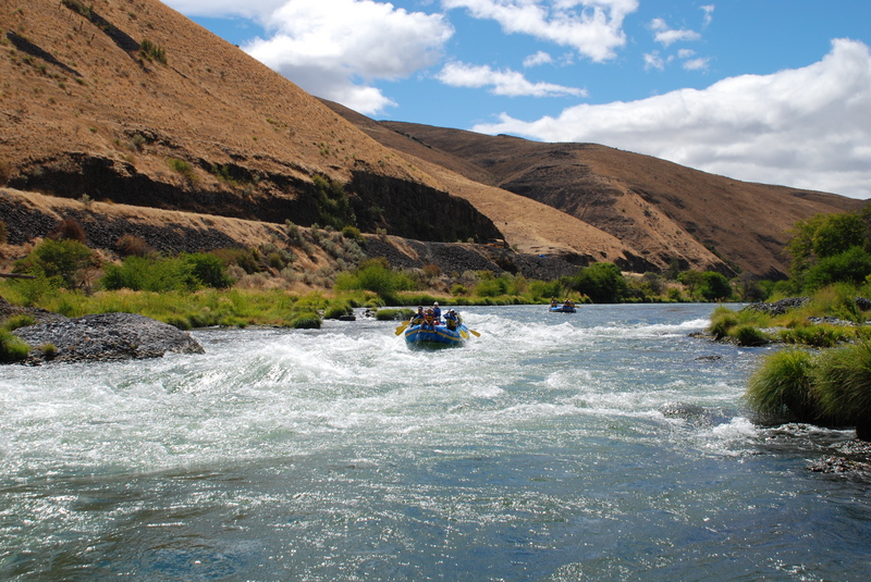
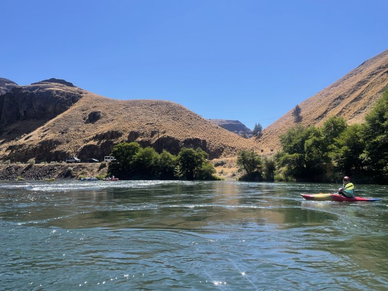
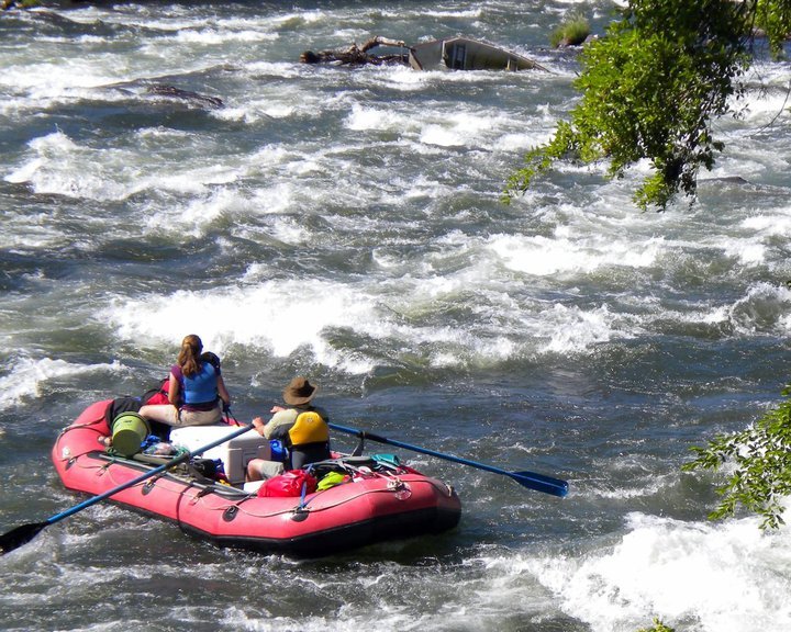
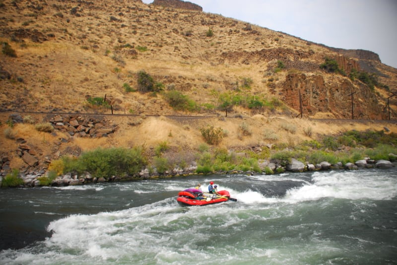
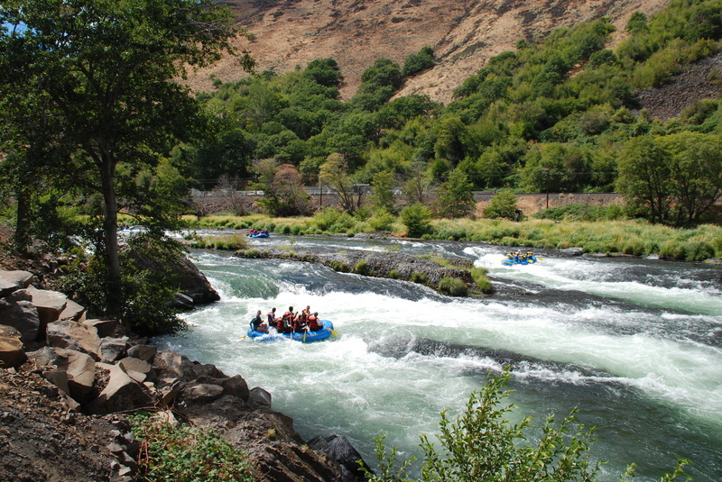
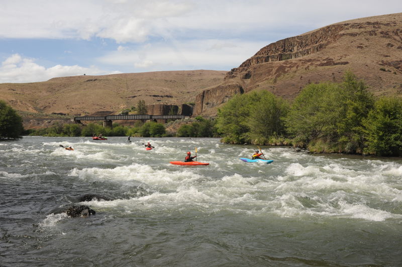
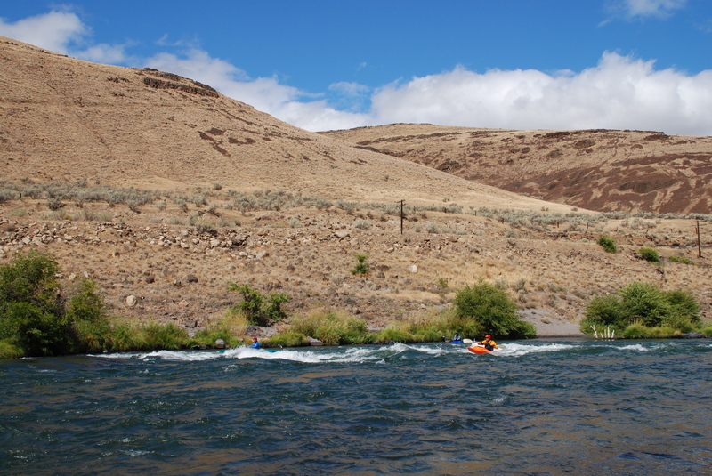
The Lower Deschutes is probably Oregon's most popular overnight float trip and is a classic among fishermen. Experienced river runners will find this to be a relaxing river float but a few class III rapids deserve strict attention. While this can be a great beginner trip for those who have an experienced guide along, inexperienced river runners get themselves into trouble every year and there have been several fatalities on the river.
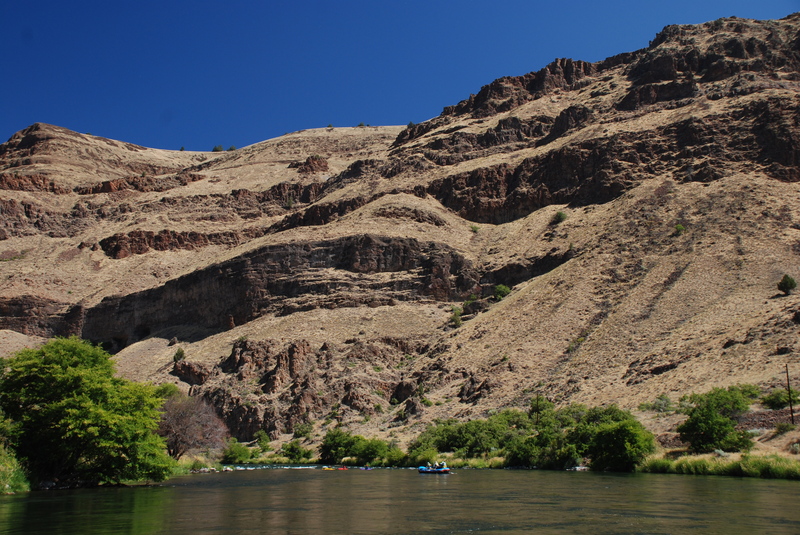
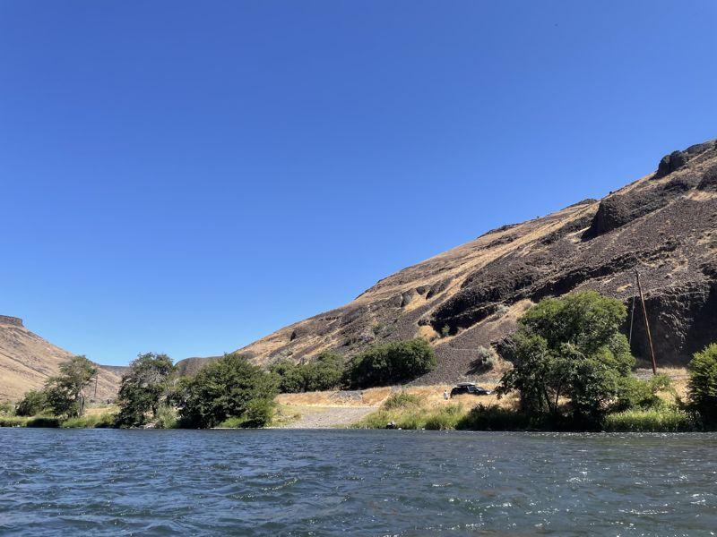
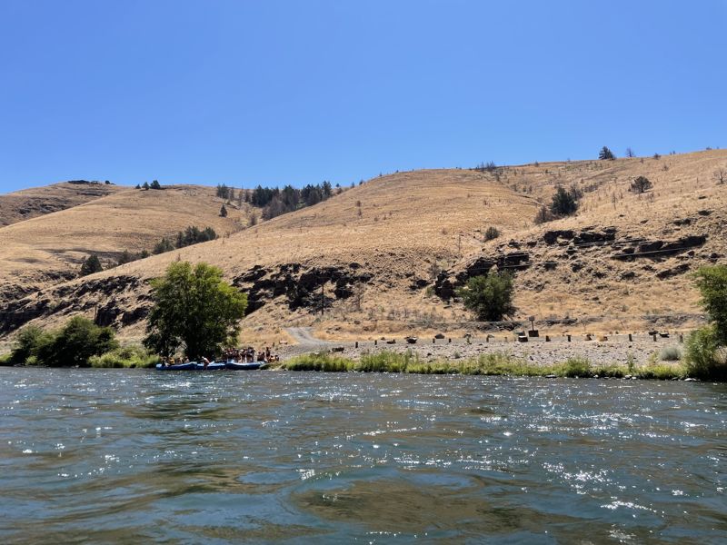
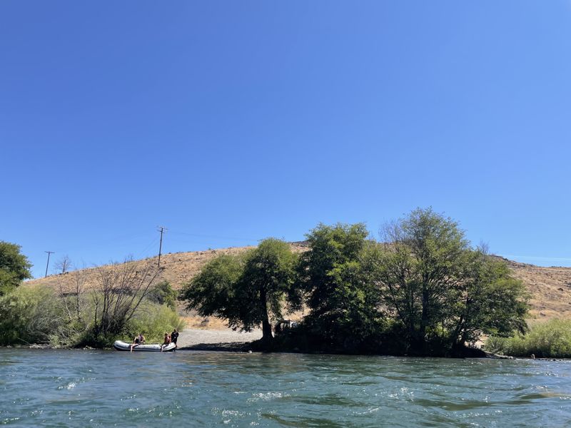
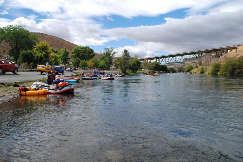
Agricultural diversions upstream near Bend remove water from the river, but springs on the Crooked, Deschutes, and Metolius rivers provide consistent year-around flow which is further regulated by the Pelton Round Butte Hydroelectric project. The peak season is the summer and the river attracts a wide range of user groups including recreational floaters and drift boat fishermen. While the beautiful canyon scenery interspersed with small groves of trees providing welcome shade makes this a great trip, don't come expecting wilderness solitude. The use tends to be biased towards trips where you pack the rafts with everything you could possibly need (and then some) and kick back for a good time with your friends.
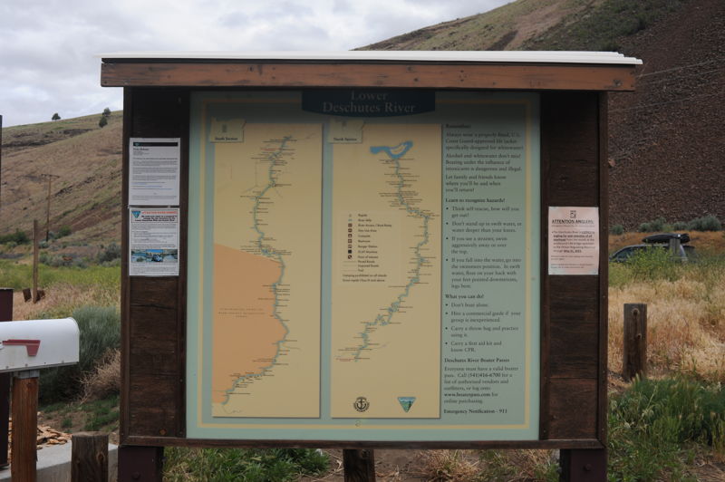
Permits are required but it is a reservation system and given that the river is managed for high use, it is generally easy to find a slot if you plan in advance. The run can be divided into two sections with the first half popular as the start of an overnight trip and the lower section popular as a day trip.
Segment 1: Warm Springs Boat Ramp to Harpham Flat (42.0 miles, alternate put-in points, group size limited to 16)
The run starts out at the uppermost put-in at Warm Springs Boat Ramp which is on the upstream river right side of the Highway 26 Bridge. Those who come in late and want to camp the night before often launch at Mecca Flat which is 1.8 miles downstream on
...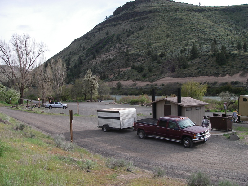
Day use site with boat ramp, toilet, and garbage services. This is the first public access downstream of the Pelton Round Butte Hydroelectric Project.
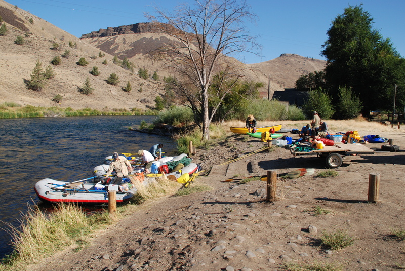
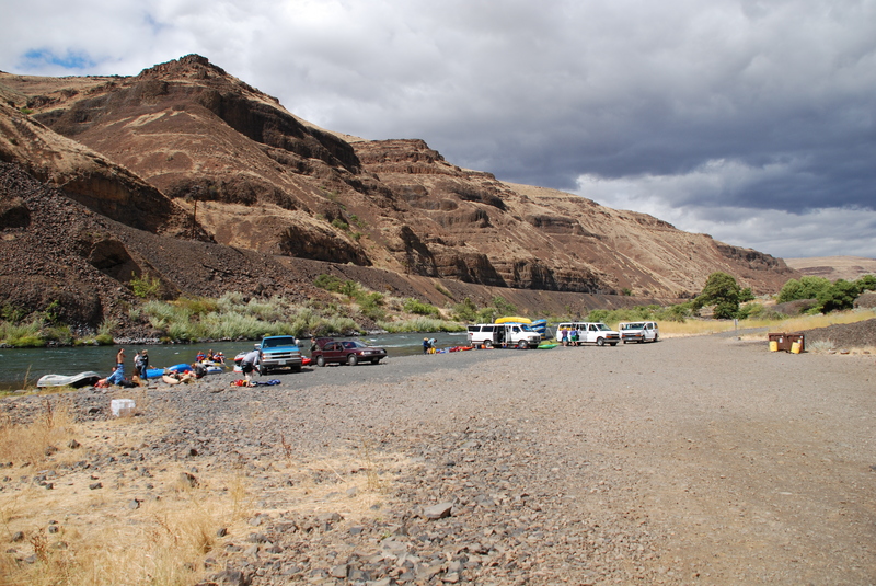
Mecca Flat is a BLM site that provides a vehicle-accessible fee campground, boat ramp, toilet, and garbage service. It is a popular site to meet the evening before a trip and a standard put-in. Sites are first come, first serve but this site is primarily used by river runners staging the night before their trip meaning you can typically find a spot unless coming in late on a weekend or during the spring salmon fly hatch when this site is popular with fishermen.
Trout Creek is a BLM access site with vehicle-accessible fee campground, toilet, tables, garbage service, and boat ramp. Day use and overnight parking is available for this site which serves as a put-in or take-out. There is also a trailhead here that provides access to the 7.6 mile trail that follows the old railroad grade up to Mecca Flat and is popular with fishermen. The ranger station is staffed during the summer with visitor information, boater check-in, and emergency communications.
Either side around the island is possible. River right tends to be the standard line.
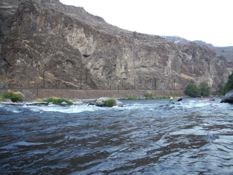
There are a few different routes through this boulder garden rapid. Scouting from river right is recommended.
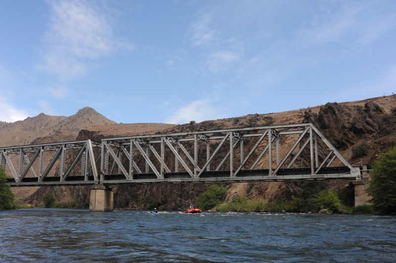
Railroad bridge where the railroad tracks cross from river right to river left.
The Confederated Tribes of Warm Springs Reservation Boundary. Upstream of this point most lands along river left are part of the reservation. Downstream of this point BLM lands are on both sides of the river with the exception of private parcels.
Dant is a small mining community that serviced the Lady Frances mine where perlite was mined for acoustical tile. The mine has since closed but the small private community located along river left, only accessible by ferry boat across the Deschutes River, remains.
Wave train down the left and boulder garden on the right.
Day use site with river access. The farthest point upstream for the day run down through Maupin.
Vehicle-accessible fee campground, toilet, tables, garbage service and boat ramp.

Harpham Flat is the most popular vehicle-accessible campground with ramp access for day trips on the Deschutes River. The site also has toilets, garbage/recycling, and trailer parking. This access is the dividing point between Segment 1 and Segment 2. The site is on Confederated Tribes of Warm Springs land and they charge a small fee for use of this access point.
Wapinta is a vehicle-accessible campground and river access point with toilet, tables, and garbage service.
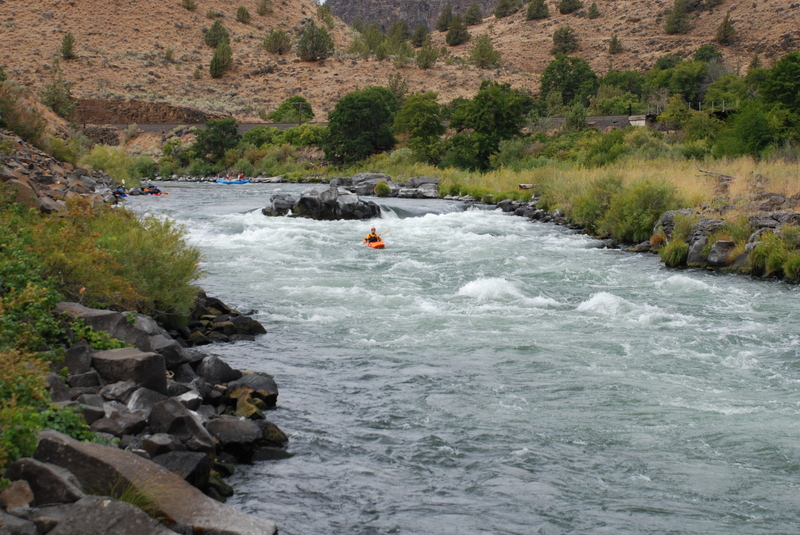
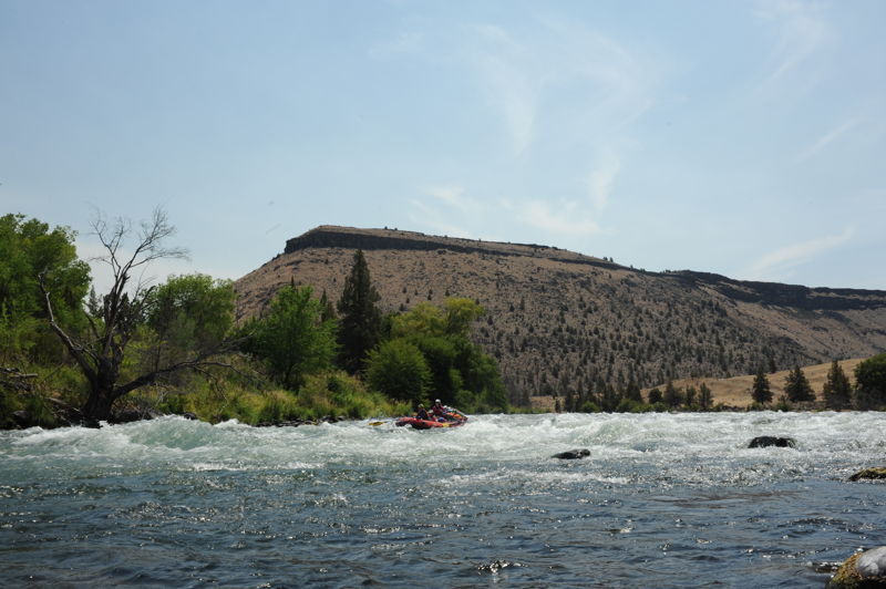
A fun wave train down the middle. The standard line is to the right of the large midstream rock outcrop.
The river bends around to the right with the current pushing left. A ledge forms offset holes with one on the right and a larger one below it to the left where most of the current pushes. The standard line is to clear the first hole on the right and then work right to avoid the hole at the bottom left.
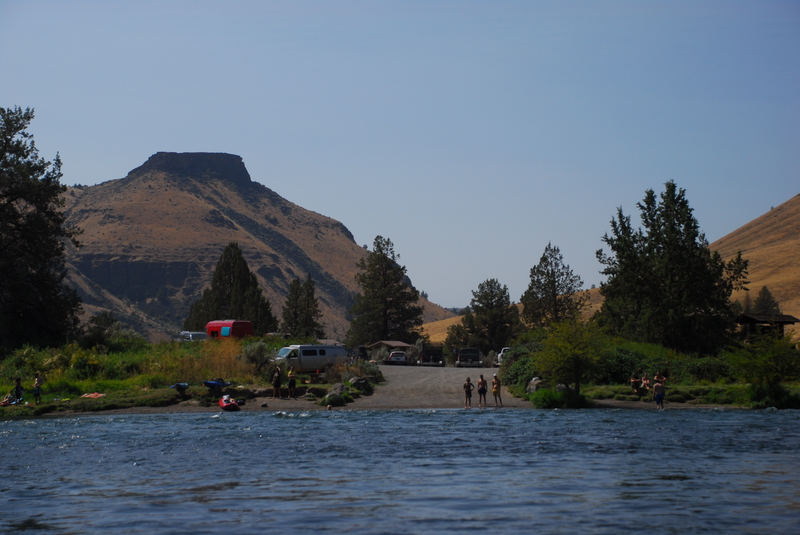
City Park in the town of Maupin with a fee campground and day use area providing river access that can be used as a take-out or put-in. Toilets, tables, garbage service, and an RV dump station are all available here.
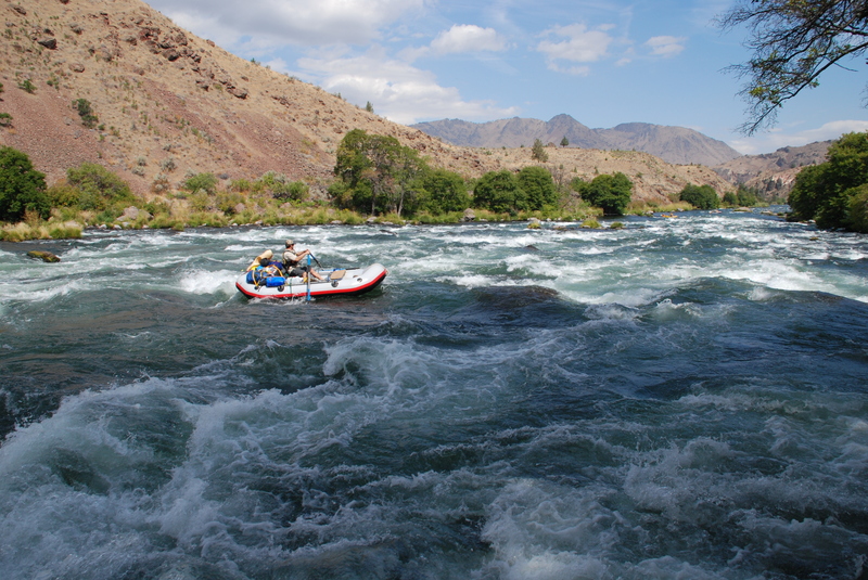
Some fun surf waves are found in this rapid just upstream of Oak Springs.
A big drop with routes down the right or left. It's an easy scout from the road on river right.
Fun waves at the White River confluence.
Wave train with a fun surf wave at the bottom.
The last take-out before the river drops over Sherars Falls a short distance downstream. This is the end of Segment 2 and the standard take-out. This site is for day use only (no camping) but has toilets, garbage service, and trailer parking. The site is on Confederated Tribes of Warm Springs land and they charge a small fee for use of this access point.
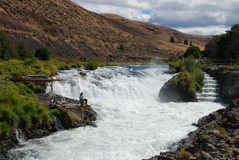
Sherars Falls is portaged by taking out upstream at Sandy Beach and putting in two miles below at Buckhollow.
Aug 14, 2023
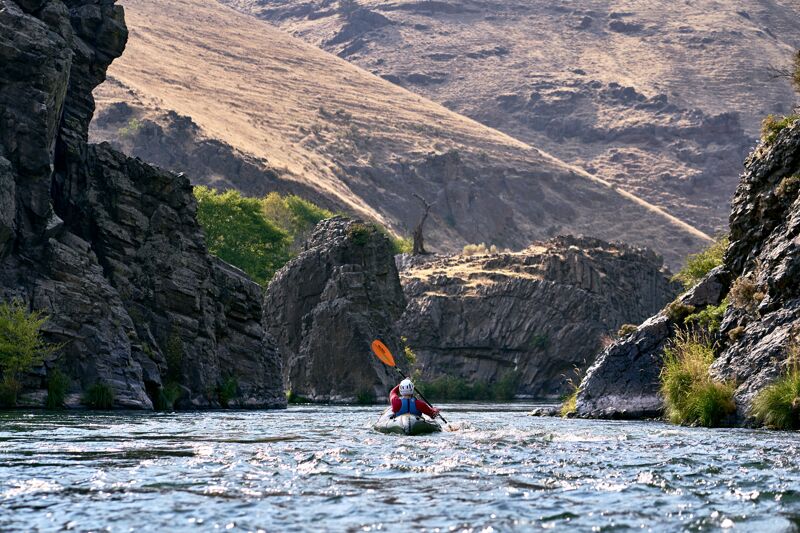
We (group of 4) packrafted the section of the Deschutes River from Warm Springs to Sandy Beach. We have only moderate experience (and one person was a complete beginner) and made through without too much difficulty, although each of us fell out at least once. I recommend this section for packrafters with some experience looking to step up into Class III(+) whitewater.
Dates: 8/14/23 – 8/16/23 (3 days rafting)
Weather: HOT! Over 100 degrees each day.
Camps: Whiskey Dick (night 1) and Buckskin Mary (night 2)
Notes for each rapid:
Trout Creek: Straightforward, although our beginner packrafter took a swim on the Lower rapid. A swim here is not consequential.
Whitehorse: In a small boat like a packraft or kayak, you can effectively bypass the challenging part by skirting around on the far left side of the river. Three of us did that. The one person who ran it made it through safely reported that it did not feel too difficult. Some of the risk of Whitehorse is mitigated in a small boat like a packraft because you are less likely to get pinned than a larger raft if you make a mistake.
Buckskin Mary: Large waves but short and straightforward. We went straight down the middle and made it through successfully. A swim would not be consequential.
Four Chutes: Pretty straightforward, fairly long. We had one swimmer here (not consequential).
Wapanitia: Somewhat challenging. Big waves (some of the largest on the river) with some side-to-side action. We had one swimmer here (and I almost tipped too after taking a wave from the side). A swim is not consequential as long as you don't go way too far left towards the big rock.
Boxcar: Not as scary or difficult as it looks. A swim is not consequential (we all made it successfully, but saw one person fall out of a kayak before our attempt).
Surf City: Straightforward.
Oak Springs: Challenging. Scout first so you can avoid the really intimidating stuff. We took the left channel. Large hole followed by waves moving side-to-side. Unpredictable current and very slow in some spots, almost felt like paddling in quicksand. I navigated the large hole successfully but then took a long swim after tipping from a wave to the side. Probably the worst spot to swim on this section of the river, since it's a long rapid and there are sharp rocks. I got a few scrapes on my legs but otherwise was fine.
White River Rapids: Straightforward.
Upper Elevator Rapids: Straightforward.
Lower Elevator Rapids: Mostly straightforward wave train, but a little challenging due to some corkscrew action in the waves. One person took a swim here (not consequential).
For a more editorialized trip report, as well as some videos of the rapids and details about our rafts, see this post: https://nicelittleadventures.com/packrafting-the-deschutes-river/