John Day, N. Fork
2. Dale to Monument
June 1, 2004
| Reporter | Karen Hensley |
The gage listed above is not the right one for the North Fork of the John Day. Look instead at
USGS 14046000 NORTH FORK JOHN DAY RIVER AT MONUMENT, OR
http://waterdata.usgs.gov/or/nwis/uv?14046000
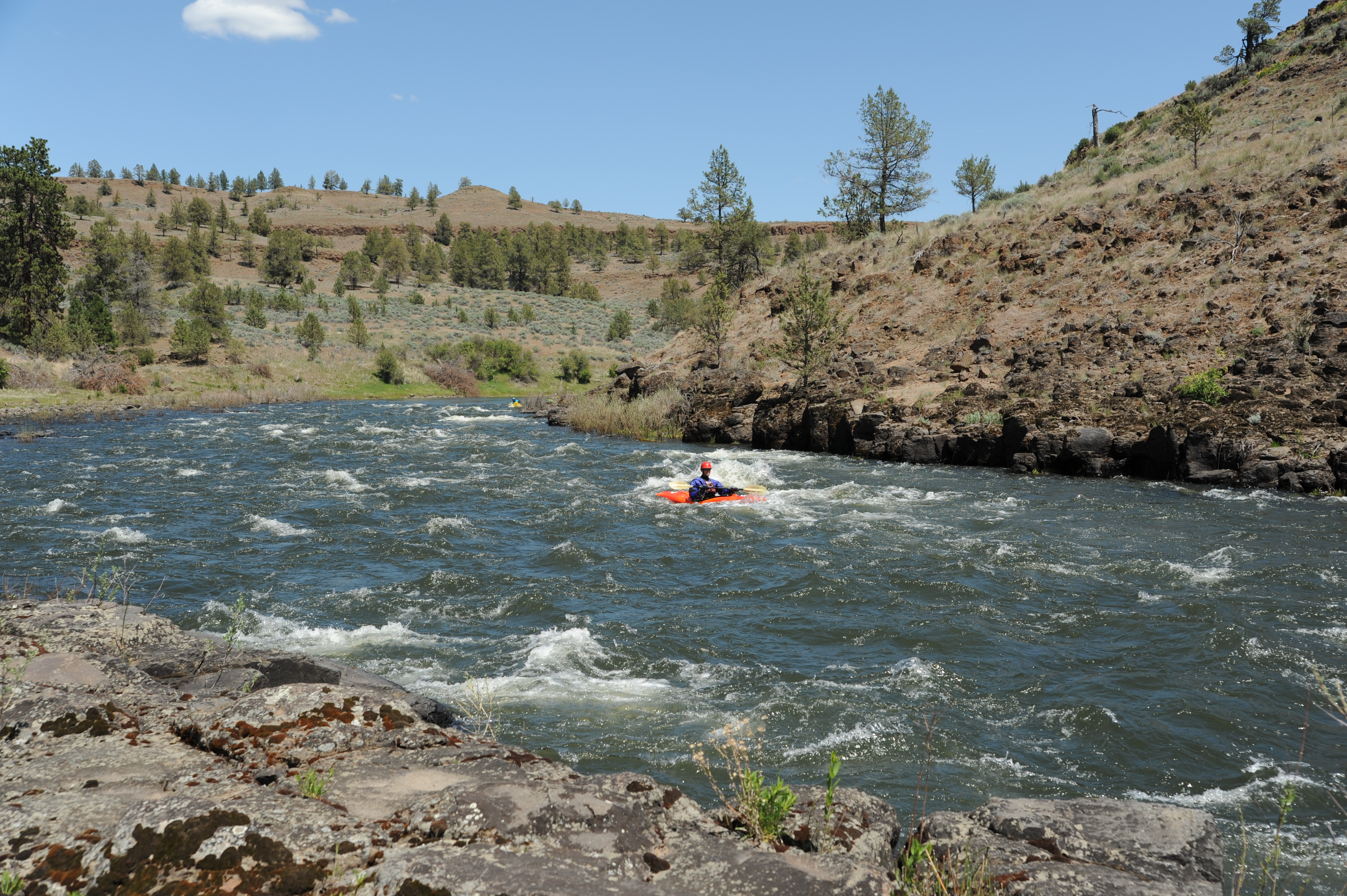
The river gets only slightly more difficult (3- in my estimation) for levels higher than the max suggested level on this page. The rapids mostly become washed out with larger waves, and the river becomes more continuous, making it harder to rescue a swimmer. We put in at 9,000 CFS (on Monument gage) and floated for 3 days taking out at about 5,500 CFS. Others in Paddle Trails Club have told me they have done similar levels in open canoes. At higher levels you have a chance of sneaking the rapid 'Surprise' on the right, but only if you recognize it in time and there is no wood. Both of those things happened to me in my kayak at 8,200 CFS but it is not much harder going right through the middle anyhow.
The take-out at Monument is about a quarter mile downstream of the the bridge, on river-right. Peer through the willows looking for a small boat ramp where there is now a nice parking lot with picnic tables and a toilet. Some guidebooks still tell you to take out at the bridge.