Lake Creek
Deadwood Creek to Siuslaw River
| Difficulty | II-IV |
| Length | 5.3 mi |
| Avg Gradient | n/a |
| Gauge | Siuslaw River Near Mapleton, or |
| Flow Rate as of 24 minutes | 3.08 ftbelow recommended |
| Reach Info Last Updated | January 3, 2025 |
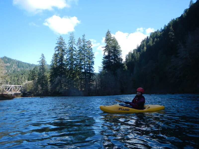
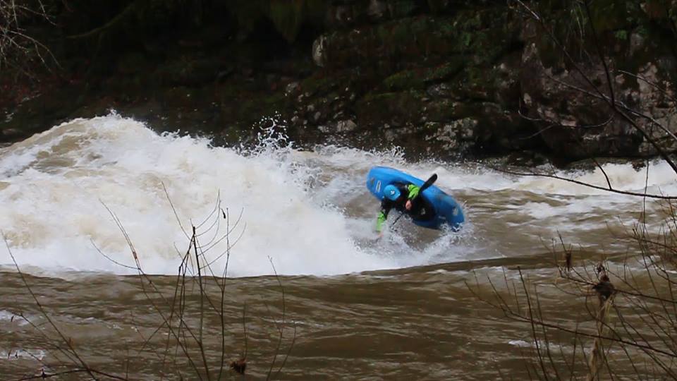
Lake Creek is known as one of the region's top playboating destinations when the water is high. This run can also be enjoyed as a class II/III run at lower flows.
At high flows swims are often long and dangerous, so make sure that roll is bomber.
Access Logistics:
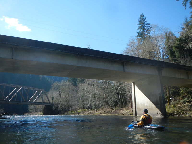
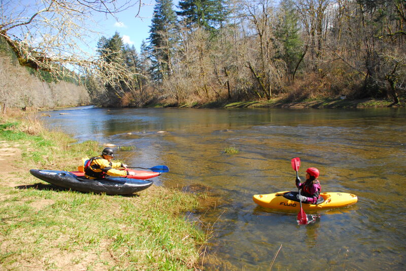
Lake Creek has easy access off Highway 36. You have a few put-in options depending on how much warm up you want before the big drops. The top put-in is in Deadwood at the county park across from the post office at highway mile 13.3. Another access is an informal free parking area at the Green Creek confluence at highway mile 12.2. If you want to put in just above the main rapids, Schindler County Park at highway mile 10.5 is also an option.
You can scout the Horn, the big drop on the run, from the pull-out at highway mile 9.2
If you want to end your trip on Lake Creek you can take-out just upstream of the confluence with the Siuslaw. To reach this site, turn on to Stagecoach Road at Highway 36 mile 8.4. Head 0.1 mile over the bridge across Lake Creek and turn upstream on the drive to Konnie Memorial ODFW fishing access site. It's 0.5 mile upstream on this drive to the river access point.
Most continue on downstream on the Siuslaw River. You can take-out at mile 5.7 on Highway 36 at the Tide Wayside County Park, or continue down to mile 4.5 or 4.3 to free informal access sites.
River access at a county park where Deadwood Creek Road joins Highway 36 across the street from the post office.
Access at the confluence with Green Creek at a pull out along Highway 36.
Access on river right at a county park.
Park on river left just upstream of the confluence.