Big Creek (Kings River Trib)
1) Bridge on Forest Service Route 7 to Trimmer Springs Road
| Difficulty | III-V |
| Length | 6.4 mi |
| Avg Gradient | 110 fpm |
| Reach Info Last Updated | February 20, 2010 |
River Description
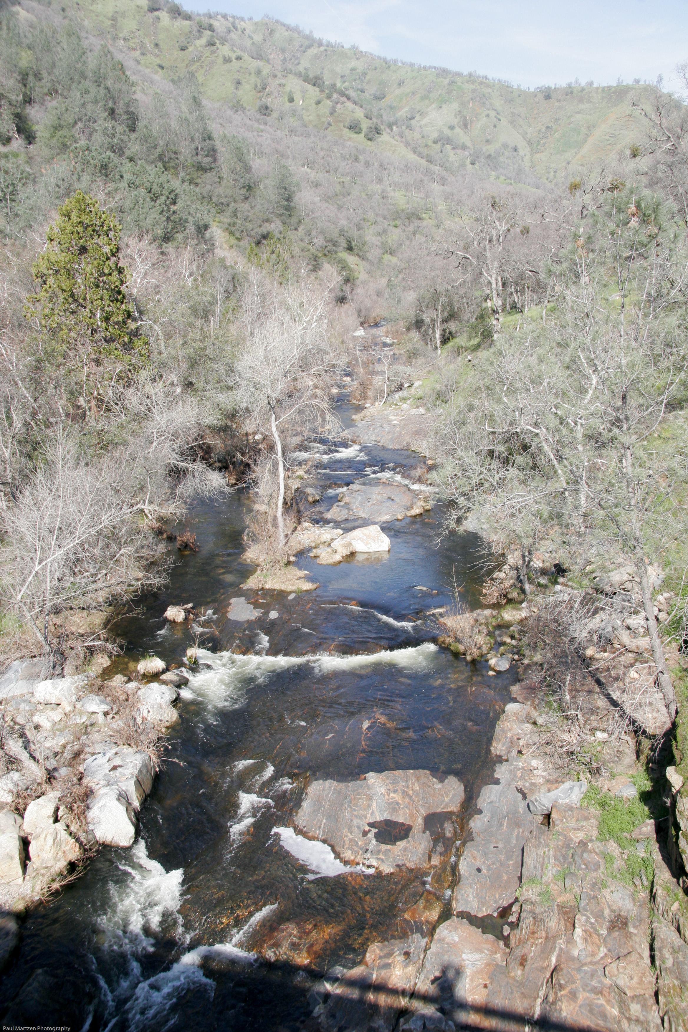
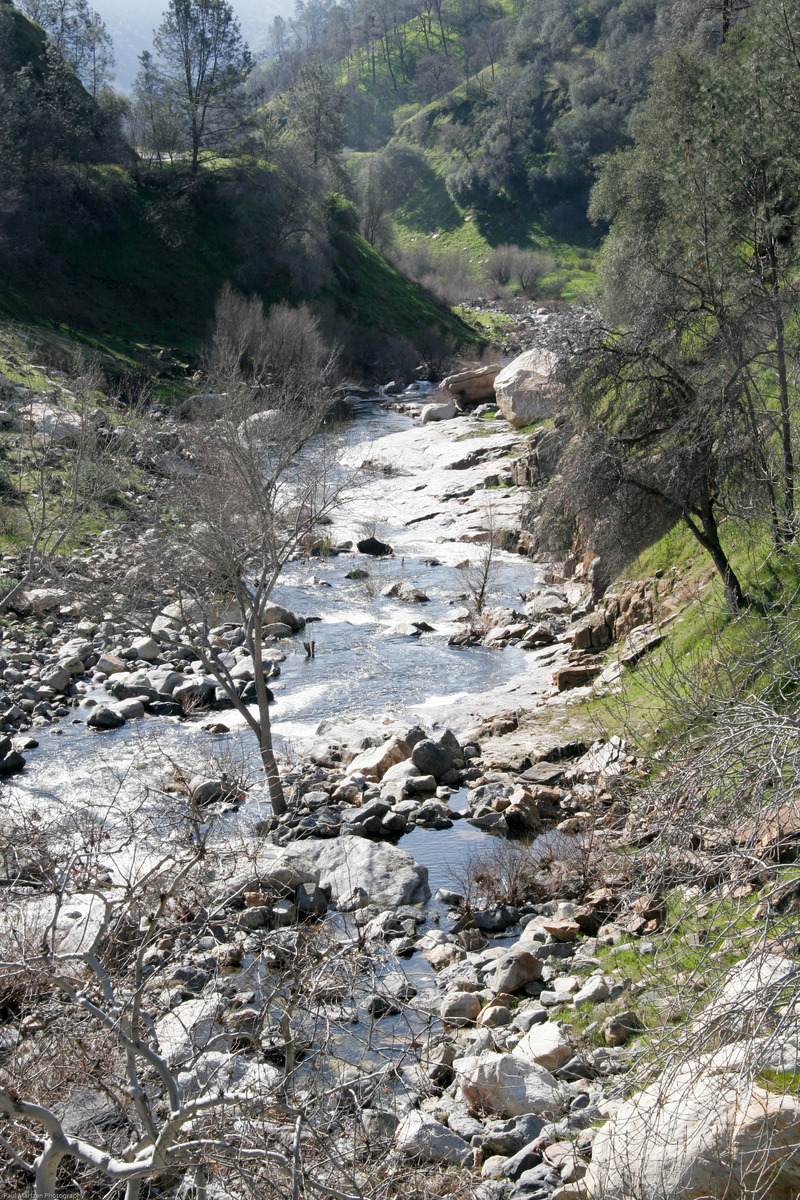
Big Creek is a small tributary of the Kings River. As one travels around Pine Flat Reservoir on the way to the Kings River, the road crosses bridges over two major inlets after passing Trimmer Springs. The first inlet and bridge is Sycamore Creek. The second bridge and inlet is Big Creek.
Big Creek is small and brushy, runnable during and after decent winter rain storms. It is fairly technical but not super steep. The streambed alternates between nice bedrock drops and rocky rapids. At low and moderate flows this creek is suitable for kayakers learning technical paddling and how to boat through bushes. At high flows this creek is dangerous because of the many bushes and trees in the streambed, acting as strainers. (When this creek is too high, nearby Sycamore Creek will often be at a good level.)
Put in: A dirt road parrallels the creek, so paddlers can put in or take out at almost any point. The most common put-in is at the remains of an old gauge and dam. But sometimes people drive all the way to where a bridge crosses the creek (elevation 1480 feet) and the road leaves the creek. The biggest drops are below the bridge but seems like the brush was worse up there as well. Worth a look since it is roadside.
Take out: The common take-outs are just upstream of the Trimmer Springs Rd. bridge, or just a short ways below the bridge on river right after a big rapid (elevation 930 feet). You can also continue boating down into the lake bottom, with the penalty of hiking farther uphill to the road afterwards. There is a trail leading down from the road on river right near the confluence with the Kings river, just where the road turns to the west.
In the summer time, Big Creek has a variety of nice swimming holes suitable for kids and famili
...River Features
Put In
Gage dam

The old gage dam is obvious as you drive past. The location marked on the river map is a very rough guess. The boating looks significantly harder upstream in my recolection so it used to be a common launching point.
Take out: below Bridge
Below the bridge, drop down some very big but junky rapids.. Take out on the obvious slabs then hike uphill to the road (usually on river right.)
Take Out
Trip Reports
Log in to add a reportNo trip reports yet.