Wilson
1) Jones Creek Day Use Area to Milepost 15(The Jones Creek Section)
| Difficulty | III |
| Length | 8.3 mi |
| Avg Gradient | 35 fpm |
| Gauge | Wilson River Near Tillamook, or |
| Flow Rate as of 57 minutes | 121 cfsbelow recommended |
| Reach Info Last Updated | March 31, 2026 |
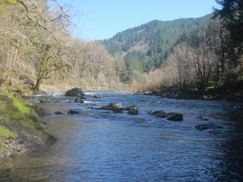
The Wilson parallels Highway 6, a major state highway between Portland and Tillamook, and much of the river is visible from the road. The rock is basalt and the channels are mostly deep, with an occasional cobble bar section where wood can hang up. The Wilson is popular with fishermen and relations between fishing and boating populations have been strained: be diplomatic and give them lots of room. The character of the river changes dramatically with different flows.
At 850-2,000cfs this section has good strong currents, nice fast ferries, eddy moves and attainments, and some excellent surfing waves and holes. It is one of the best class III skills runs in the region and would be suitable for slalom training. It does not feel low! It has giant eddies and good eddy service for lots of interesting smallish playspots. It's said that 500 cfs is runnable in kayaks, but the run is of a much lower quality. 900 is still enough for rafts.
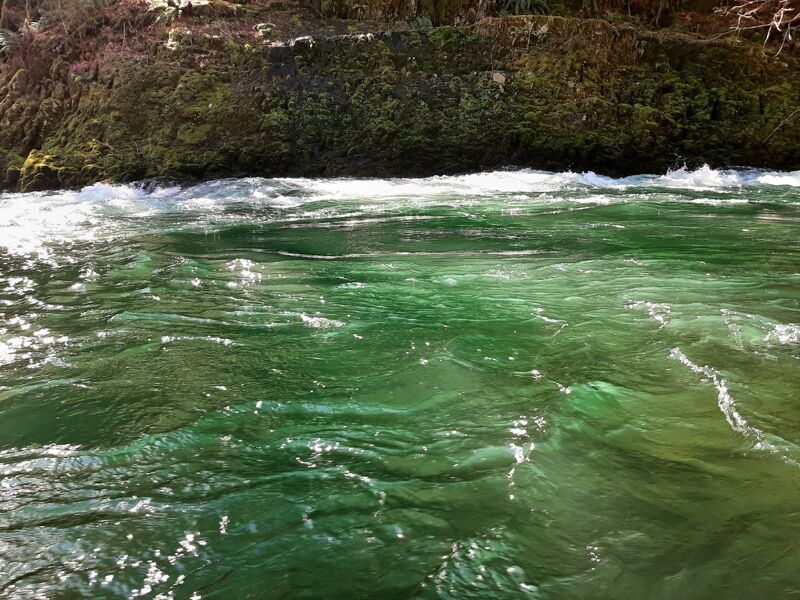
Between 2000-3000 the Wilson develops funny water (seams, boils and whirlpools) that can mess with boaters in smaller boats who lack edge control, while remaining class III. Swims can be long in places. This is not a great level for boaters whose skills are maxed out in class III whitewater, yet a wonderful level for skilled paddlers in half slices looking for eddylines to play in. There are also a few holes to avoid and a few to play in. While still good fun it is less useful as a skill builder at these flows and more of a challenge run for the tentative class III paddler, while class IV boaters will find the class III rating is still accurate.
Above 3,000cfs it becomes quite continuous for long sections making the required skill level more like class IV (unless you're in a raft and know where you are going). At 2,000-4,000 the Wilson is a reasonable training ground for a paddler who wants to gain confidence in swirly water. The boil and seams on the Wilson are similar to what you'll encounter at the bottom of rapids o
...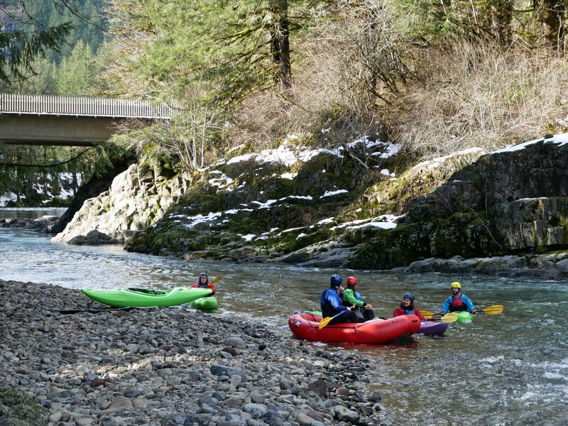
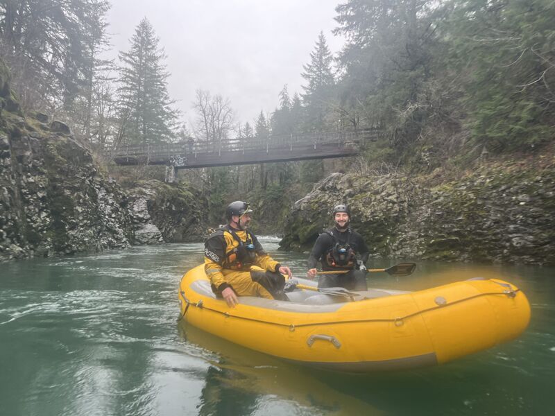
The photo shows boaters in the water upstream from the bridge on river left, but the best access is downstream from the bridge on river right. Drive into the Day Use Area parking and park in front of the information kiosk. There is an easy trail to the river there.
The turnoff from the highway is hidden below the edge of the highway until you are on top of it. The parking area is well above river level and there is a developed trail down to a large river left beach and eddy.
This is a rough fisherman's trail up to a pullout alongside the highway. It is possible to park across the highway at the bottom of the Jordan Creek Road, but then you have to carry boats across the highway which is likely the most dangerous thing you'll do all day.
This access point is on Cedar Butte Road but some call it the Wolf Creek Road access. Both roads are right there. It's on river right, and requires carrying your boat up a trail from a smallish eddy on the right. At high flows the eddy gets hard to catch because the current diverts boats away from it.
This is the takeout above the Narrows. It is just a pullout alongside the guard rail. From the river it's a rock landing then a steep scramble up to here. Definitely scout the get-out. To get turned around to drive back upstream, go downstream to the outside of the next curve, then turn left from there.
Use the pullouts upstream from the highway bridge, on river left, and look for trails to the water. There are several. There used to be a playspot here but no more as of March 2026.