Blacklick Creek
Route 259 to Saylor Park in Blacklick
Apr 26, 2011
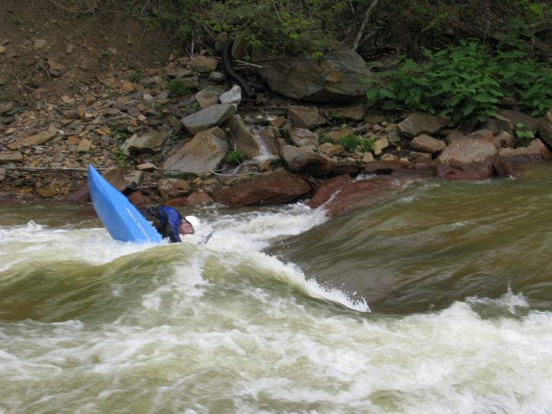
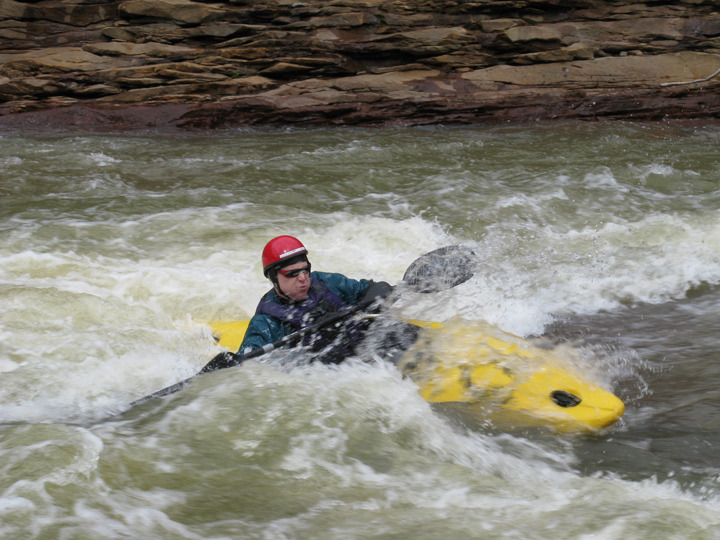
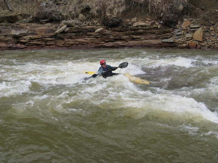
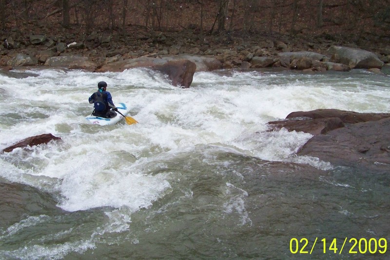
Ran Blacklick on 4/24/11 @ 1000cfs on the new gauge with Hap and Jamie, this is a good level with all the bells and whistles. I hear good things about 1500cfs from Jen & Phil. What we need to know is at what level on the new gauge do things begin to washout.
Rand
Apr 26, 2011
A new fish commision access has been made at the rt 119 bridge on Blacklick creek. It is only accessible from the North bound direction on rt 119 just after the bridge. It is 1/2 mile further down stream from the Saylor Park takeout but parking is very close to the water.
Nov 6, 2010
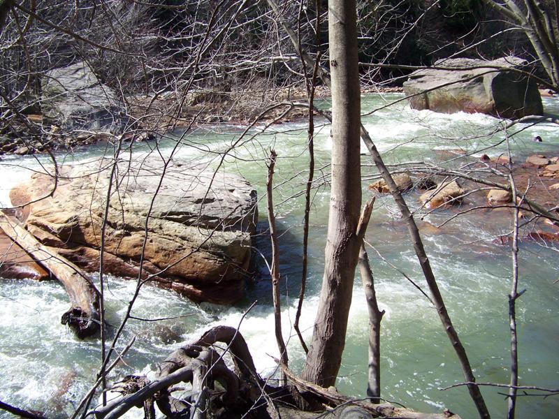
This is the log at the bottom of the right channel of the large island below Heshbon.
The left channel is open.
May 22, 2010
The bridge work at Hesbon has been completed and the charming box girder structure was perserved, very cool.
Mar 24, 2010
3/21/10 Ran Blacklick @ 780cfs this appears to be close to a min. for fun level with the new gauge if it is indeed operating properly. The old stage numbers are out and new ones will be needed. No painted gauge exists so cfs should be used. I have not heard back from USGS
Dec 6, 2009
Just beyond the half way point is the last class III rapid. The end of left cannel is an undercut sive
Dec 6, 2009
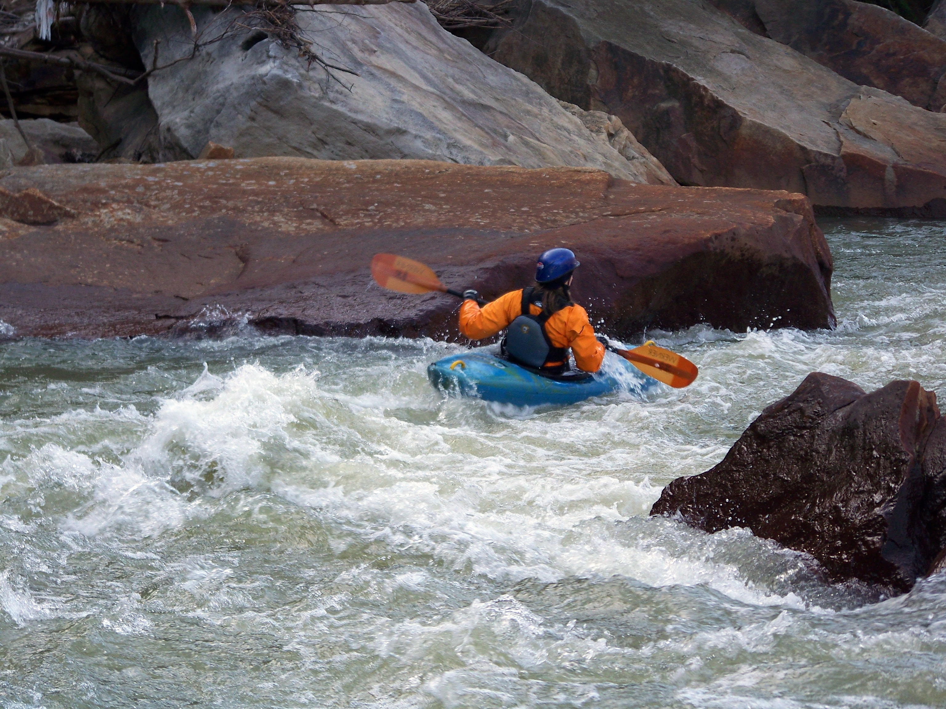
This is the rt. channel with the submerged logs across big square & undercut rock (Jack's Rock) viewed from upstream, take the left channel instead it's more fun anyway.
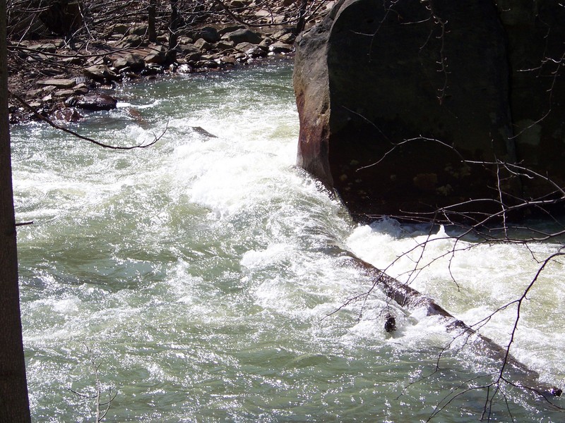
Nov 23, 2009
11/22/09 Sunday I walked to the location of the log strainer at low water. It is still there. There are actually 3 large logs that form the strainer. They are across the entire bottom of both channels around the rock. When the river is up, you can most likely get around or over the blockage if you are in your boat. However anyone swimming above here would be in great danger of entrapment beneath the logs. The left channel of the island is open and is a fun route.
Aug 30, 2009
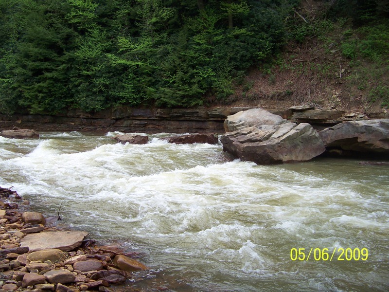
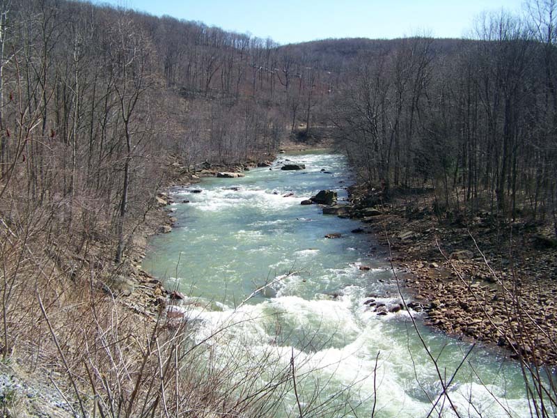
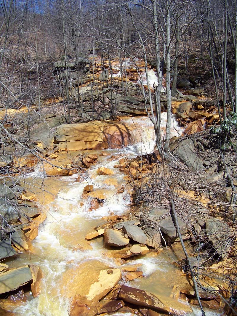
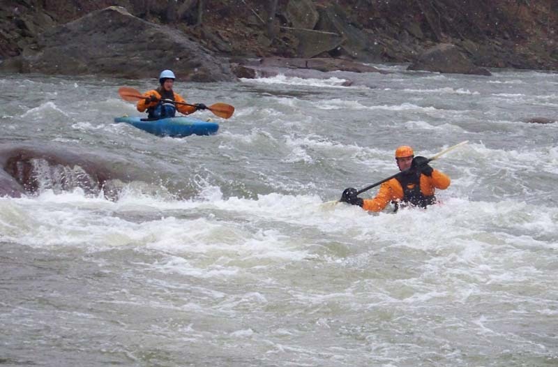
The good whitewater section of the Blacklick is formed where the creek cuts through Chestnut Ridge