Casselman
4) Markleton to Harnedsville
May 31, 2026
Gauge Markleton 2.71
Jun 12, 2025
Level 2.92'
May 7, 2025
Previous Comment: 'McClintock Run rapid (which is actually Cucumber Run -- the previous AW writeup had mislabeled it)' --- not according to the USGS naming convention or the State Park signage along the rail trail that crosses the creek above the rapid. According to those sources, the creek that comes in from river left at or just below the 'McClintock Run' rapid is 'McClintock Run'. About 500 yards further downstream a second creek joins the Casselman River, also from river left. According to my read of the USGS naming convention it is this second creek that is 'Cucumber Run'.
Apr 17, 2024
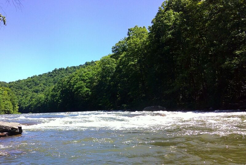
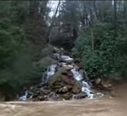
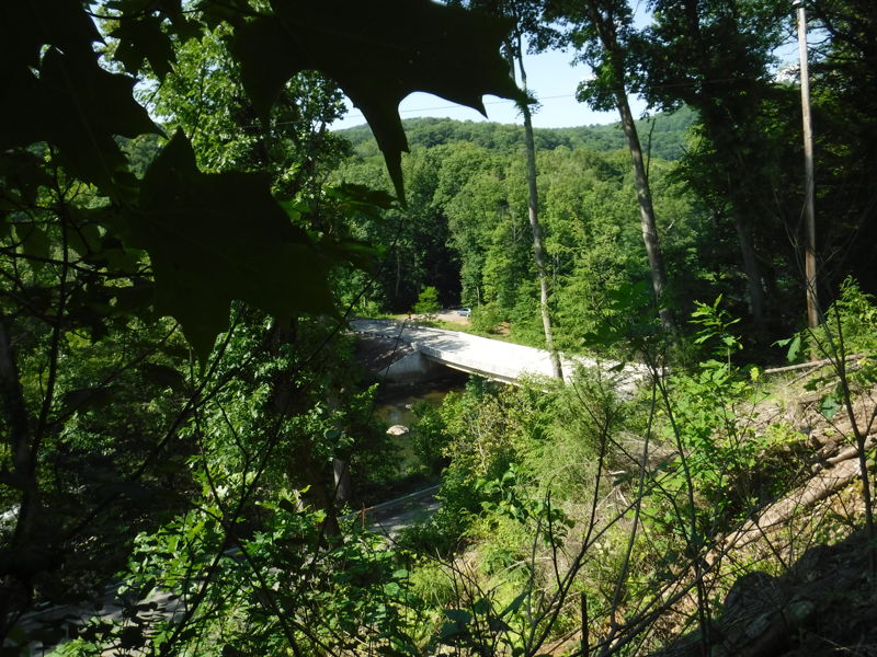
I did the full run to Harnedsville because I was curious about the McClintock Run rapid (which is actually Cucumber Run -- the previous AW writeup had mislabeled it) and because taking out at Fort Hill always seemed a little too short (it's only 6 miles). The gage in Markleton was at 2.9, and I was in an old-school Royalex canoe -- 16 feet and no flotation, so I had to look for clean lines (sometimes scouting ahead from the riverbank).
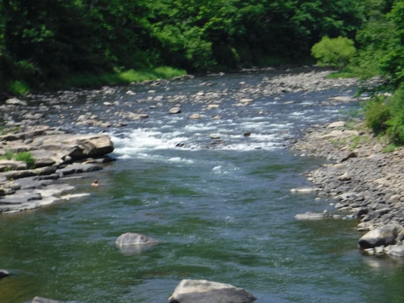
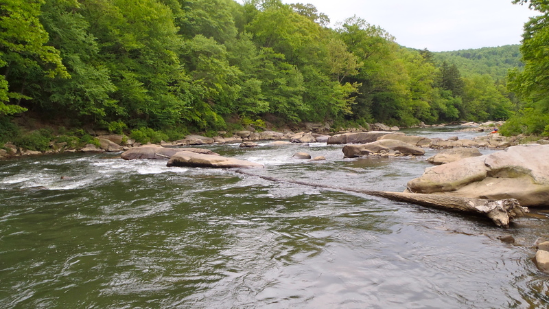
The hardest rapid in this context is Tossed Salad. There is a clean line to be found on river left, but there are lots of little rocks that hide under the surface and threaten to disrupt a line, which could be somewhat calamitous given the overall length of the rapid and the boulders that await throughout.
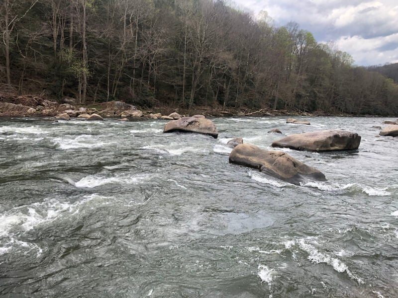
Running the left line at the Cucumber Run rapid, meanwhile, could potentially swamp an open boat at this level, so I opted for a sneak route of sorts along the right riverbank, avoiding a little pourover at the bottom. It was not an overly technical line.
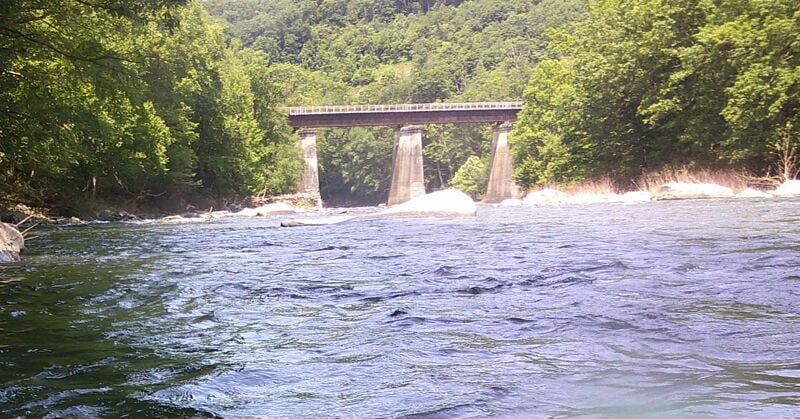
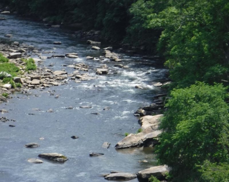
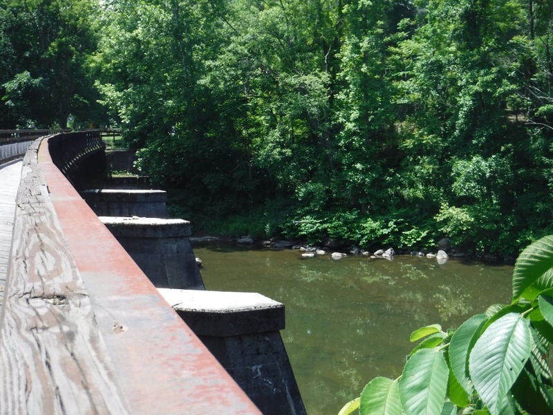
The last mile or two to Harnedsville was basically flat, but thankfully there is a steady current, which helped considerably while a strong afternoon wind blew upstream. The takeout by the GAP trail bridge was doable, albeit not wonderful.
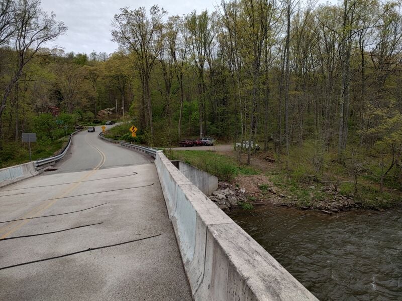
P.S. I've used the Markleton put-in pretty regularly since 2020, and I haven't yet encountered the Fish and Game police that feature prominently in the descriptions here on American Whitewater.
May 13, 2023
May 7, 2023
Apr 23, 2023
Jun 27, 2022
Jun 27, 2022
Jun 27, 2022
Jun 27, 2022
Jun 27, 2022
Jun 27, 2022
Jun 26, 2022
Apr 27, 2018
2018: The river is open, but with a large strainer at river right at the landslide location (approx mile 5.7)
Jun 26, 2017
At odd intervals some official type person apparently shows up at Markleton to tell boaters that they can't use the put-in unless they pay the PA Fish & Boat Commission $18.00 fee with a $150.00 fine as a penalty. I wonder if anyone in PA State government talks to each other, or to paddlers, because this method of enforcement sets up a perverse incentive that potentially penalizes trip leaders from doing the right thing by moving up the watershed when water levels get high.
Since 2003 I have tried to spread the idea that the Casselman is a great fallback to the Lower Yough when the water levels are high in the Yough drainage after a hard rain. When a commission official restarts this rumor, it absolutely kills the momentum I've tried to start with Baltimore/DC area paddlers and the Casselman, with the result that Baltimore/DC people don't think of the Casselman in high water situations and in my opinion, the Casselman as a resource is under-utilized.
Supposedly, the reason that the fee system was set up at Ohiopyle in the 1980's, was to spread out start times so the Lower Yough wouldn't get overcrowded. You'd think Ohiopyle park would encourage Casselman paddling, to help alleviate overcrowding, especially at high water. And you'd think that Pennsylvania policies for surrounding rivers would be encouraging to paddlers to find safer and less crowded options in the same watershed as the Lower Yough.
It seems that the Pennsylvania Fish and Boat Commission primarily/exclusively thinks of boating in terms of boating for fishing and fishing access. The Commission does not understand how it puts an additional burden on a trip leader to talk a group out of a ill advised Lower Yough trip to go to the Casselman and then face possibility that someone will walk up to them and raise the issue of additional fees or threaten fines. Contacts between paddlers and the apparent representatives of the Commission have been officious, rude and not considerate of fees paddlers may have already paid to Ohiopyle Park for launch permits not used because in the leader's judgement, the Lower Yough was too high for a particular group on a particular day. The Commission's interactions with whitewater paddlers does not reflect well on the State of Pennsylvania and suggests a lack of welcome to visitors.
The Fort Hill take-out of the Casselman is managed by the Casselman River Watershed Association (http://www.casselmanwatershed.org/) which asks for voluntary contributions to maintain the Fort Hill take-out. It is unfortunate that the Markleton River access is managed by the PA Fish and Boat Commission that seems to know so little about how whitewater boaters arrange trips.
Please consider making contributions to the Casselman River Watershed Association for their work at the Fort Hill take-out and please pressure Pennsylvania policy makers to place the Markleton access under the same management.
Apr 6, 2017
Ran this at 5ft and it was more of a class 3-4 river at some points. In some parts there were HUGE holes, comparable to the lower yough at normal flows.
Sep 8, 2015
7/9/15 flow was low, 2.7ft or about 900cfs. Quality class 2+ rapids throughout the run. This was the last day of the trip. G, Ct, eli, josh, fab and jesse. Everyone was in an individual craft, some light carnage.
May 8, 2014
The bridge & approach construction has been completed and the Ft. Hill parking area has been reopened. Checked (May 3, 2014).
May 15, 2012
This was taken on the upper Casselman between Markleton and Fort Hill. The water level was a 2 feet and I was leading a group of beginners. Perhaps a little low but great fun and still lots of features to play on and teach with.
May 23, 2011
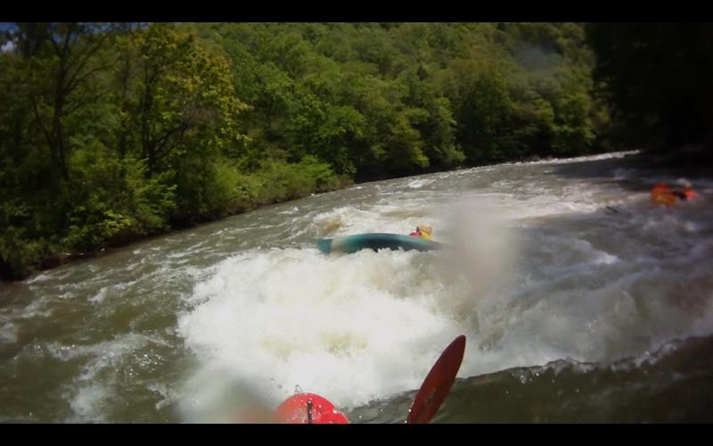
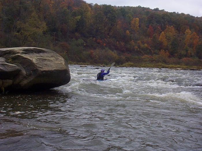
Paddling out of the hole, which hits class III in my opinion, although it's easily snuck to the left.
May 23, 2011
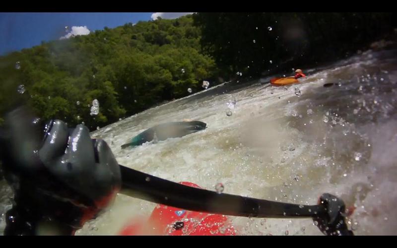
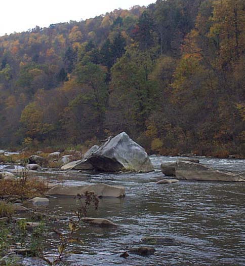
I believe this is the 'Terminator Hole'. It's not long after the putin at Markleton, I think it might even be the very first rapid. The river runs very near the railroad grade for a little while before turning left. This pourover hole is right in the center of the river and at 3.8 feet on the gauge, it was hard to see until we were right on top of it.
Jul 2, 2010
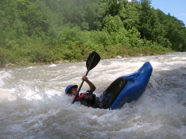
Just having some good old fun on the casselman throwing down my signature grease spin.
Photo by James Douglas
Jun 16, 2008
see link for a video of this run..........
Mar 27, 2004
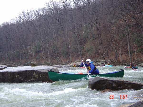
This is a perfect level for OC-1 runs
the last 3 miles of this river are allmost non-stop class 2-3 FUN
Oct 27, 2002
This is the minimum level for this beautiful river
This is atypical rapid on this fun little river
Markleton gauge:2.0
Wow, what a nice place!