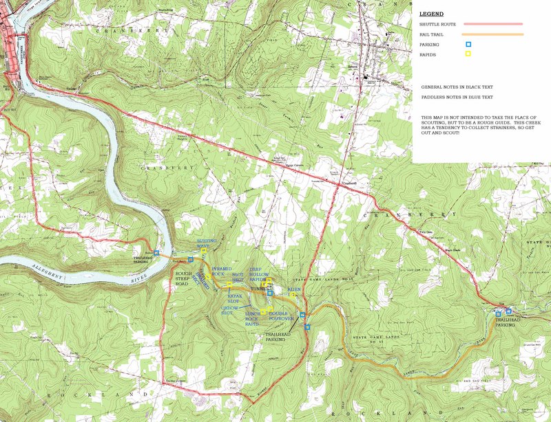
East Sandy Creek
Van to Allegheny River(East Sandy Creek Rapids)
| Difficulty | I-II |
| Length | 10.2 mi |
| Avg Gradient | 25 fpm |
| Gauge | Oil Creek at Rouseville, Pa |
| Flow Rate as of 47 minutes | 1.97 ftbelow recommended |
| Reach Info Last Updated | March 14, 2007 |
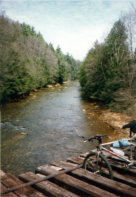
East Sandy Creek is a nice class II run through a steep, fairly isolated valley just outside Franklin, Pennsylvania. The creek runs roughly parallel to the Sandy Creek spur of the S. Justas rail trail. The Justas trail runs alongside the Allegheny River from Franklin, with the spur trail running up the East Sandy drainage, ending at route 322 at Van. The 7 mile upper section runs through an isolated valley adjacent to a state game lands, while the 3.5 mile lower section runs past some cabins and always has the rail trail nearby
ACCESS:
The access at the upper end of the run is where route 322 crosses the creek, at the crossroads called 'Van'. There is parking just off the road at a dead end, or at the end of the dead end at the trailhead. The next access downstream is at the SR2013 bridge, also known as the Rockland bridge. There is parking on the shoulder on the south of the bridge, and easy access to the stream from either side. The rail trail crosses the creek just upstream from the SR2013 bridge, and crosses the road just to the north of the creek. Access to the trail from the road is possible from a small access road just south of the trail, and you can get down to the creek via a pipeline cut just south of the parking area. The next access downstream is at Mays Mills (aka Deep Hollow Park), from a road called Mays Mills Road when coming from the south, and Slab Furnace Road when coming from the north. Deep Hollow Park is not really a park, but a group of cabins, with limited parking down one of the drives that ends at the rail trail. It's not easy to get to the creek from the trail here, but you may be able to carry down past one of the cabins (posted to allow walk in fishing). At the road, access to the stream is limited to river left on the upstream side of the bridge (difficult), and the only parking is where the rail trail passes under the road 100 yards south of the creek.
At the end of the run there is allegedly access to the trail a
...Oct 28, 2010
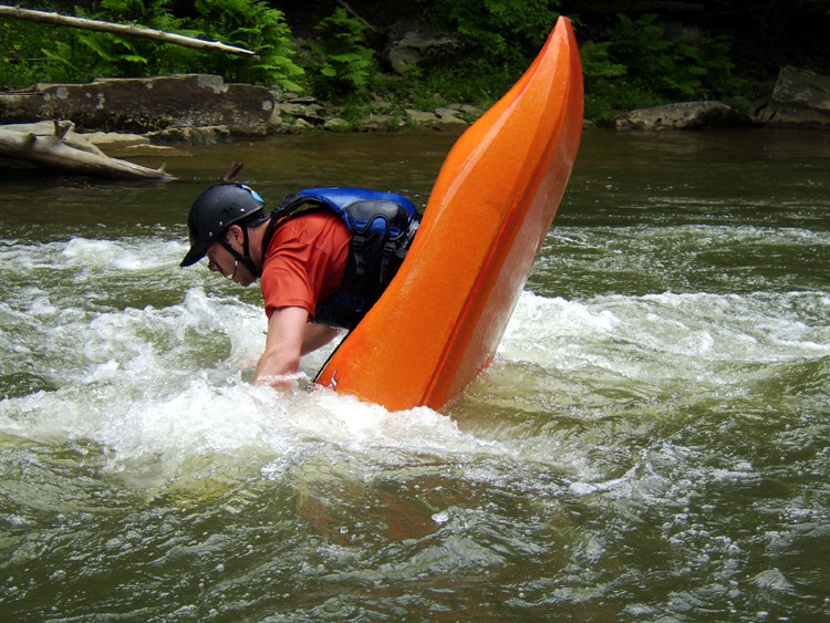
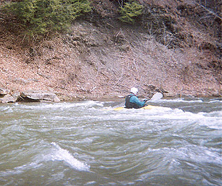
This is a playspot right below the Rockland Bridge, on the first bend below the bridge. The water channels past a large rock, creating a deep channel (5-6ft) perfect for throwing ends. The channel supplys enough water at lower levels than this, as well. At this level, there is a hole by the rock that is fun to drop in and out of, and it provides minor surfing capabilities.
Oct 28, 2010
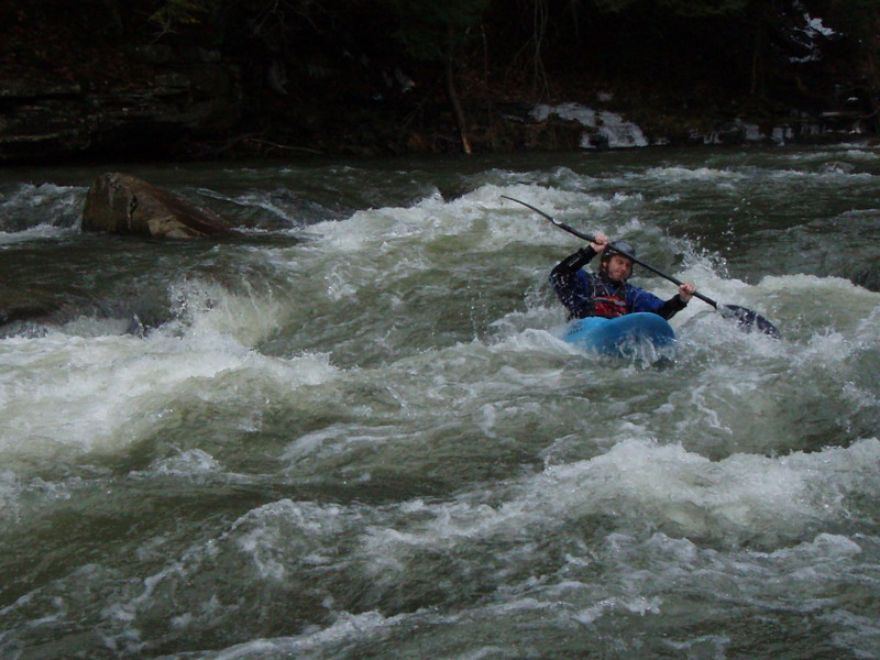
This is the same playspot, below the Rockland Bridge, at a much lower level, but the channel still exists, and provides enough flow to assist in throwing stalls and cartwheels.
Jan 8, 2008
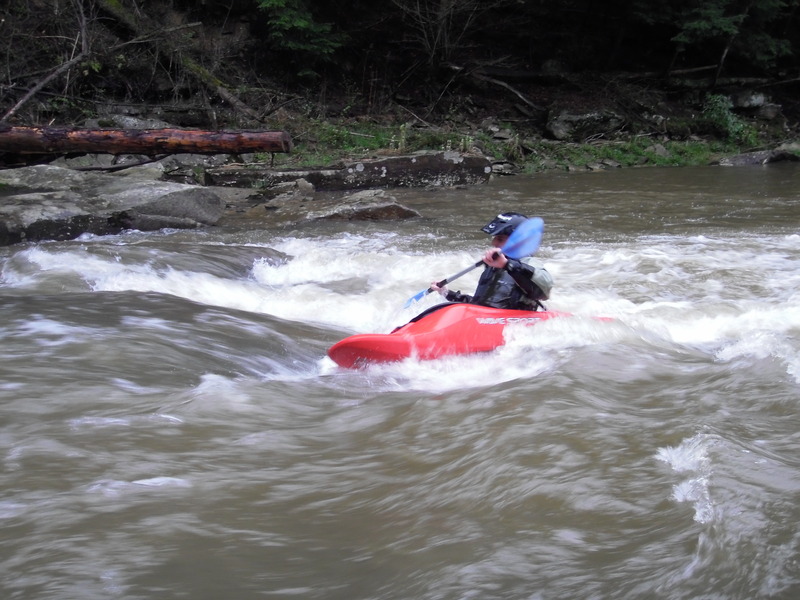
East Sandy Creek, Fun rapid