Little Conemaugh (South)
Saint Michael to South Fork(Path of the Flood Part I)
| Difficulty | I-III |
| Length | 3.4 mi |
| Avg Gradient | 31 fpm |
| Gauge | Little Conemaugh River at East Conemaugh, Pa |
| Flow Rate as of 47 minutes | 8.14 ftbelow recommended |
| Reach Info Last Updated | November 25, 2024 |
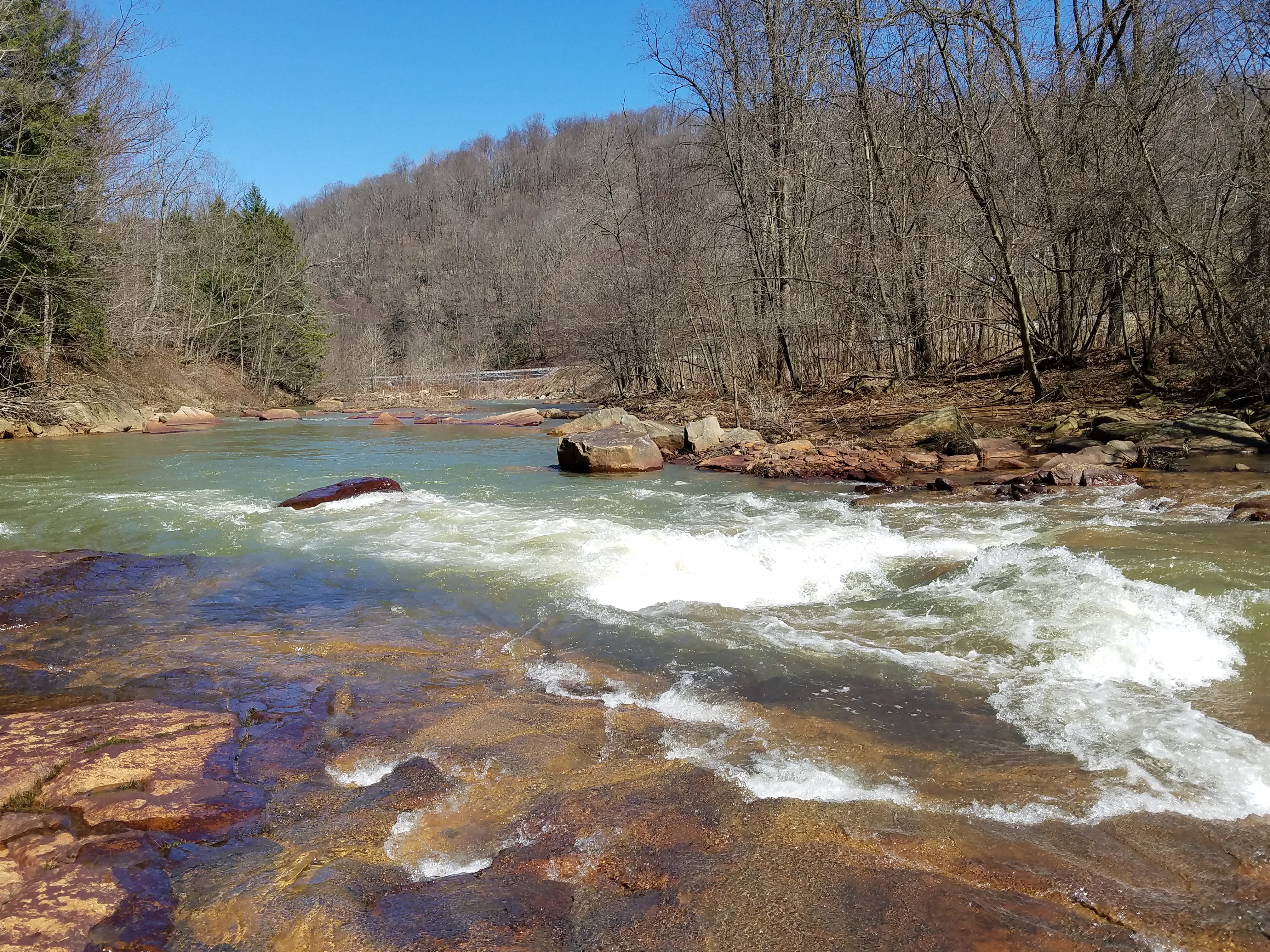
Description: This run starts in St. Michael, or up further (has not been explored past St. Michael) and continues through South Fork, eventually to Mineral Point or Johnstown. Typical takeout is in Mineral Point, do not run all the way to Johnstown unless you are experienced. This is the riverway which the great flood of 1889 took decimating the city. It is a pretty nice beginner/intermediate river, mainly a scenic class II river, with a few Class III rapids on it and with one major class V in Echo right past Mineral Point. For historic reasons, you should put in either in the park of 1889 or where Put-In is marked directly accross the street from the St. Michael firehall in the new park. The river itself is damaged due to Acid Mine Drainage but it is currently being cleaned up by an active plant in Beaverdale and a few passive treatments. Along the river you will see a dam, trains and the infamous Conemaugh Viaduct that was rebuilt in 1889 after the flood damaged the first one. If you are lucky you will see a train go over it as you run the rapid beforehand and under the tunnel.
The Little Conemaugh originally ran around the mountain in which it flows through now near Echo in East Conemaugh, but after the flood the mining companies decided to cut through the rock creating Echo Rapid around 1920. Echo rapid is comprised of a straightforward path above the actual drop, then goes to a 5-8 foot waterfall, into a rockslide, into a hole with a rather large pool afterwards. The hole at the bottom can get rather chompy so make sure you scout this thing before you run it. You can tell the rapid is coming up by looking for a green bridge that connects the top of the canyon together, used as an old coal tram. You will also notice some boney piles on the right, and essentially a mountain cut down the middle. Portage to river left through the forest over a train track (just be careful) and around the mountain or through the canyon on a lower
...
Put in at park of 1889 across from the fire company
Shave off the flatwater by putting in here, nice little warmup wave
Very small class 2+/3 on certain days, after the bend the river splits in a few different directions, does not appear to be runable anywhere to the left. Take the right channel, there is a rock on the right you will want to miss but its an easy miss. You can catch a micro eddy behind it if you'd like, carry on down the regular center line, few smaller boofs if you'd like to take them depending on level. Higher water they are not there. It ends in a pool which will lead to smaller surf waves all the way across the river and a smaller hole that is surfable at a lower level, which is the next named feature.
A hole at the end of the last rapid on river left, after a few smaller river wide holes that usually forms in lower water, has an attainment move on the river right after surfing a bit. After the surf hole, small pool until another very small class 2ish move, where you will want to stay to the river right of the big rock on the left.
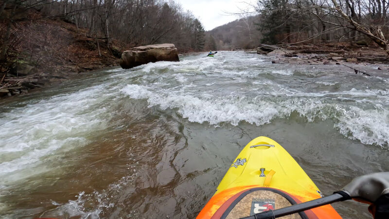
After the small surf hole you will notice a big rock on river left, stay away from the rock and river left as there is usually a strainer in this, river right is easy passage into a smaller pool before a large platform rock underneath you that forms a V, you can go off the center or take a far river right boof line.

Bigger class 2, smaller class 3 on some days; after taking the small boof off the center of the V rock into a small pool it is a river left, center line with a rock on the right you can eddy out behind. There is a hole closer to the left then and a boof at the end on the right, or you can plunge between the two. Avoid the rock at the very end can flip you, but there is a large pool afterwards. This is also a great place to get out on river left, and hike back up to play, run this rapid over and over again. Rocks are a bit slippery so just watch them.
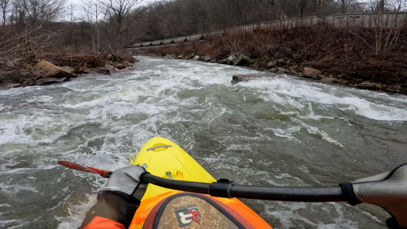
Another class II+, Smaller class III, hole on the left about half way down, with a rock in river center/right that should be avoided. Run line river left center, small ledge boof on the right at the end. There is a pretty cool ferry here.
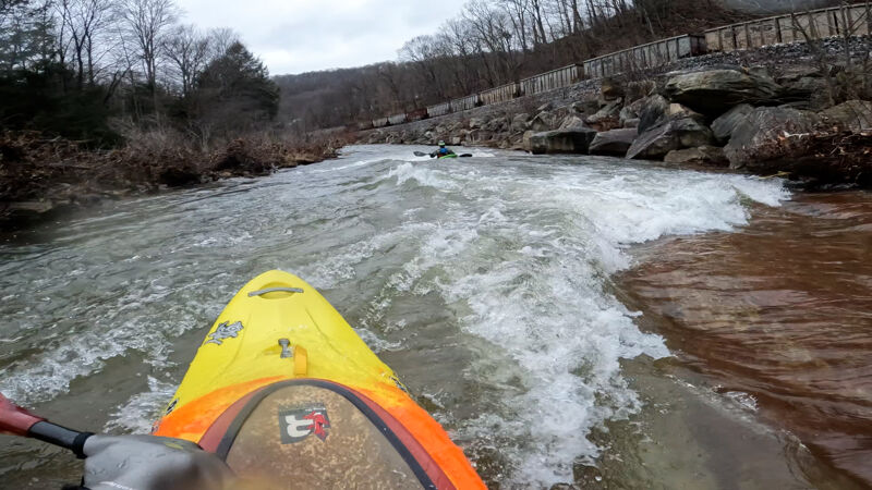
Some smaller surfing holes after the railroad rapid.
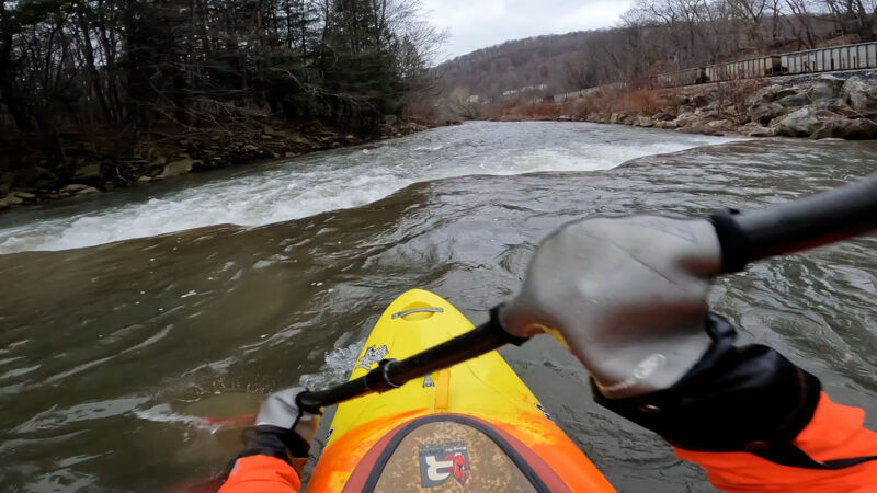
A river wide drop about 2 feet. Run it around middle river right, easy boof, nothing major. After this it continues on at class II continuous until South Fork. See other reach.
Put in, take out, continue through, portage the dam
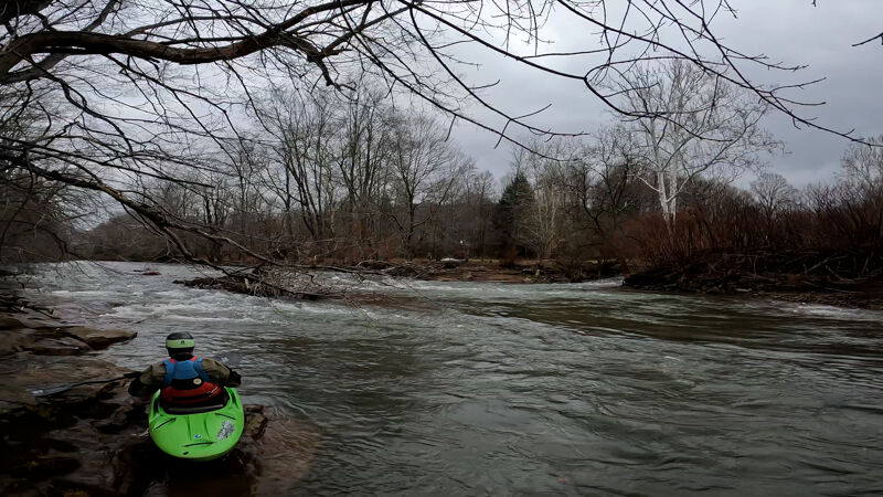
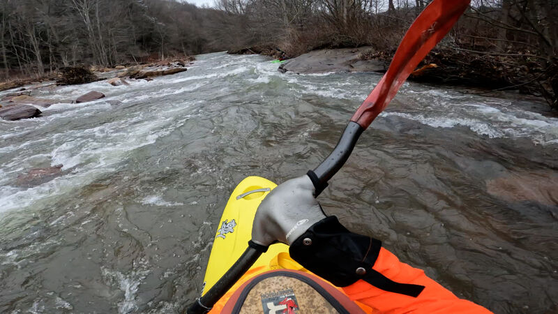
Jan 30, 2023
There is no longer a CFS gauge that actively reports but calculations call it 900 CFS, around 9.85ft on the active gauge. Nice day in January 2023, no major wood. Trying to film some 4k footage of the river so I decided to update the rapid snapshots as well. At 900 CFS some surf holes are covered up but its a bit more continous than lower levels.
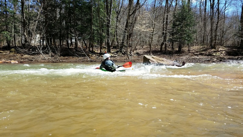
Apr 3, 2017
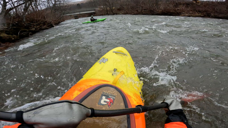
Chris surfing a smaller surf hole above the slides.
Apr 3, 2017
Last section of a little class 3 on the Little Conemaugh river. This is a nice section to eddy on the left and run it a few times.