Loyalsock Creek
2. US 220 to Forksville (Lower Loyalsock)
| Difficulty | I-IV |
| Length | 12.1 mi |
| Avg Gradient | 45 fpm |
| Gauge | Loyalsock Creek at Loyalsockville, Pa |
| Flow Rate as of 1 hour | 0.89 ftbelow recommended |
| Reach Info Last Updated | September 26, 2023 |
Kevin Colburn posted an Access Alert on 2004-03-15:
PLEASE park on the upstream side of the Route 220 bridge! A landowner on the downstream side of the bridge has politely requested that paddlers use the other side because too many people have begun parking on the downstream side. Let's maintain this good relationship with the landowner and park on the upstream side!
Robert Mac Dowell shared:
One other thing that needs mentioning is the top notch play holes as you enter the park area, just below the bridge to the cabins. These are first-class play holes, so save some energy for the last 1/2 mile.
jeff mitchell shared:
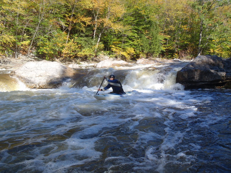
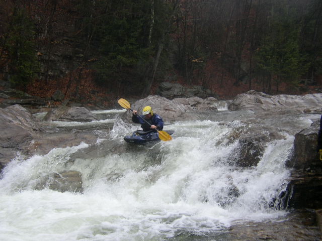
To be honest, I've never paddled the Loyalsock, but I'm very familiar with the creek. The premier whitewater section is between the U.S. 220 bridge and Forksville; there is a damn at Worlds End State Park you may be required to portage. The most famous rapids are the Haystacks, IV+ (possible V in high water) which are large Burgoon boulders around which the creek swirls and drops a couple of feet--it is a very technical rapid. It is located about 2-3 miles downstream from the 220 bridge. It's a popular swimming area in the summer.
There is also some trout fishing as you near Worlds End. There is another Class-IV rapid a few miles downstream. Most rapids are II-III+, there aren't many large pools, the creek is almost always dropping. Average gradient is 40-45 fpm, max is 60 fpm. Because there are no hydro dams on the Loyalsock, you must wait for the creek (actually the size of a small river) to rise naturally. The best times are during the spring snowmelt or isolated periods in the fall. The gauge on this website is near the mouth of the Loyalsock and is not accurate for the portion of the creek b/w 220 and Forksville. The Loyalsock is a very beautiful stream. It flows through an undeveloped, isolated gorge where there are many waterfalls, vistas, cliffs and rock formations. It has
...Dec 11, 2011
We ran from 220 to the Rock Run bridge.
More photos & GPS track here:
http://www.everytrail.com/view\_trip.php?trip\_id=1384437
Oct 2, 2010
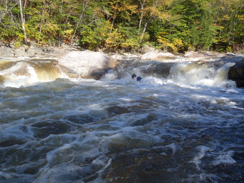
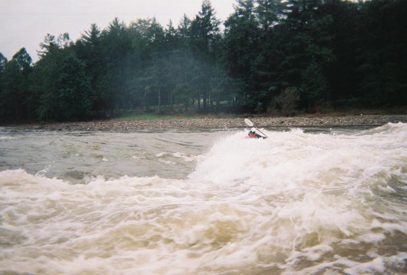
The boilly back wash on the main line at 'The Haystacks' on the Loyalsock
May 15, 2006
5/14/06...The recommended minimum level of 5.0' (usgs Loyalsockville) is too high. We've been running the Loyalsock at levels around 4.0' for years. After Hurricane Ivan struck in September, 2004 we noticed a definite change in the runnable level. In fact we paddled from above S-Bend to Worlds End Park yesterday at a reported usgs level of 3.1' with little scrapiness and playable waves and holes in the park. The park bridge level was below scale; we estimated it to be around 2.8'. Certainly the Loyalsock is more fun at higher levels but still runnable down to about 3.0' usgs.
For a more detailed description of the Loyalsock, check out: http://groups.msn.com/BradfordCountyCanoeKayakClubPennsylvania/loyalsockcreek.msnw