Shohola Creek
Shohola Falls Park to Mouth (at Delaware R.)
January 1, 1900
| Reporter | Stephen Strange |
This map shows the relation ship of the rain gauge to the Shohola watershed.
I know of three lines down this. Straight down the bouncy slide on the left, down a series of increasingly larger ledges on the right, and down the right until the last drop, then cutting left for the finish.
This is a view upstream from near the end of the first gorge. It begins at the base of the falls and goes for about 1/4-1/2 a mile.
This is an easy put-in at the end of the first gorge.
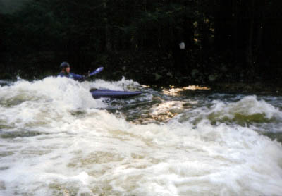
There is some surf on this run, as on any ledgy run.