Chauga
4: Cobbs Bridge Rd. to N. Horseshoe Bridge Rd.(thru Chau Ram Park)
| Difficulty | I-II(III) |
| Length | 7.1 mi |
| Avg Gradient | 20 fpm |
| Gauge | Chattooga River Near Clayton, Ga |
| Flow Rate as of 26 minutes | 1.41 ftbelow recommended |
| Reach Info Last Updated | October 14, 2003 |
The Chauga is a flatwater run with a few punctuated whitewater rapids. This is especially true if you put in at the Cobbs Bridge access point. At Cobbs Bridge the river makes a wide sweeping turn over several class-II slides. Below this point there are two additional class-II rapids. One is an unnamed slide in the first mile of river and the second drop is Powerline Rapid somewhere around the 3-mile point. Powerline could contain trees and strainers on the left but there are numerous lines over this small slide. The rest of the upper run is flat with a few class-I riffles.
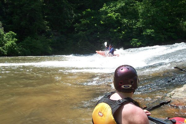
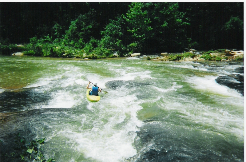
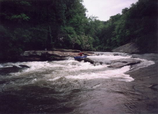
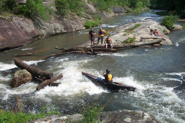
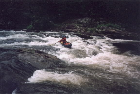
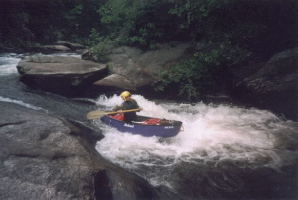
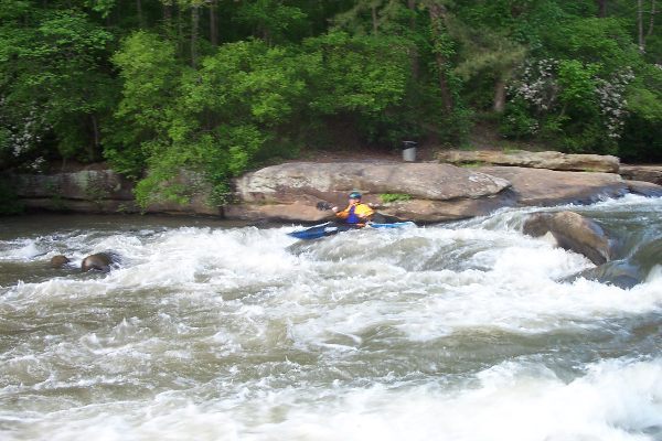
The best boating option for whitewater is to put in at the Hwy 76 bridge and boat down through Chau Ram Park. You can take out in the Park by hiking up the river right bank. The only exciting class II-III section of whitewater is in the park. After Hwy 76 the river starts dropping over some small boulder fields producing easy class-II rapids.
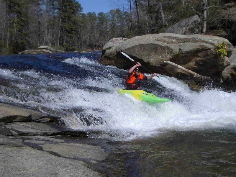
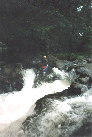
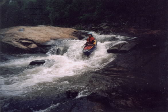
The two biggest rapids are soon to follow. Pumphouse Rapid (class III) is an obvious horizon line with an exposed rock island in the center of the river. Boaters have two options at this drop and will wither go left down a series of small slides or plunge off the right drop. The right drop requires a quick turn to avoid an undercut ledge. If you are looking to get the most bang for your buck you can easily carry back up the middle or left bank and run this rapid again. The pumphouse is immediately downstream on the left. Ramsey Creek confluences with the Chauga below the pumphouse on the left. The cascades on Ramsey Creek are probably class IV-V rapids during flood conditions. The bottom drop appears to be a simple vertical waterfall but the top drop has some dangerous undercuts and a sieve.
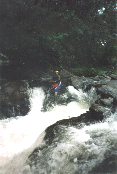
At this point the river falls over a couple more class II riffles before reaching Suicide Slide or Can Opener (Class III). This rapid also has a large rock inland with about 90% of the river flowing around the right side down a slide. The right side s
...Long sloping sliding rapid, visible from the bridge.
Riverwide ledge. Trees can get stuck on river left.
Put in here to run the Park section or take out here if you only wanted a class I-II float.
The rapids pick up after the Hwy 76 bridge and this drop signals the start of the best whitewater on the run
Run either right or left lines here.
The more photogenic line is on river right.
There are some small holes and ledges in the park rapids that are decent playspots at the right water levels.
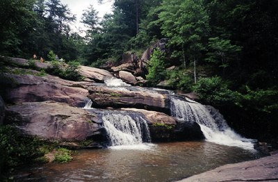
Ramsey Cascades are a side trib. in the Park.
Don't do the far left line unless you have enough water to fit in the bottom slot.
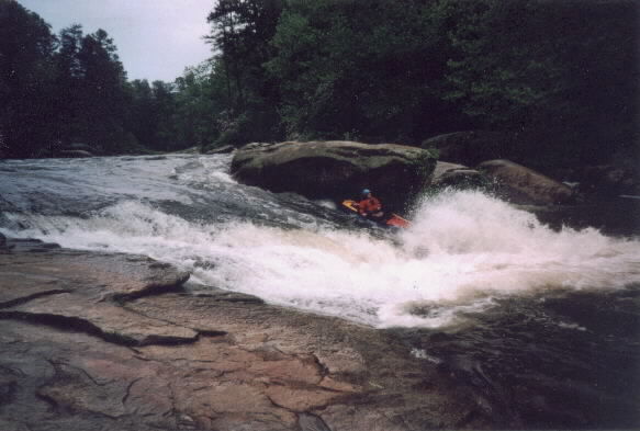
This is the biggest rapid on the river. The main flow dropps over a slide on river right. Thre are lines on the left and right side of the slide around the knife rock. An line on the far left is possible but can sometimes pinch pin boats.
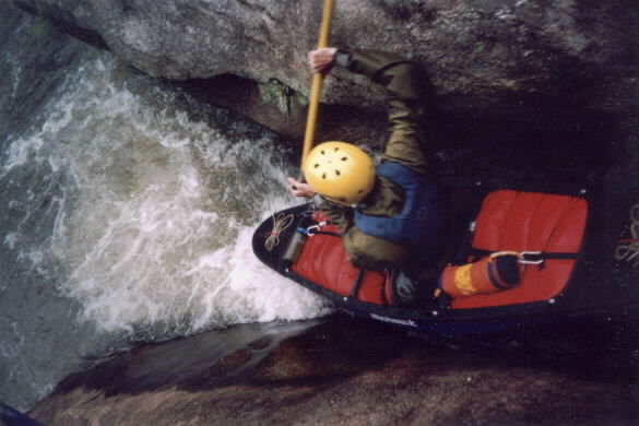
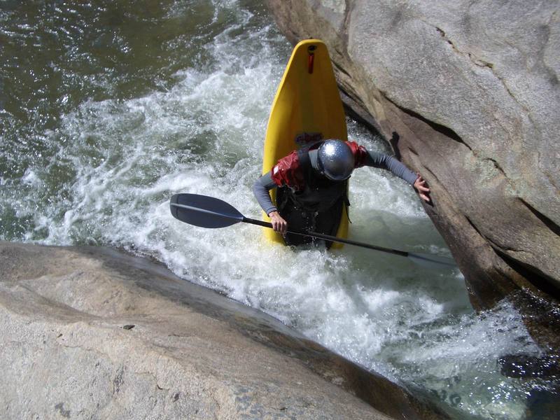
Most boats will not fit in the crack at low water.
The final ledge in the park is an easy drop on river right.
Mar 18, 2022
Put in at the Hwy 76 bridge and took out at North Horseshoe bridge. All the rapids were in the park. There's a few class I riffles after the park but that's it. At the put in on Hwy 76 we parked on the west end of the bridge, south side of the road. That land is owned by Chau Ram park. We put our boats in on the north side of the road though. It's extremely steep but doable. At the take out we parked on the southwest end of the bridge, southeast side of the road. It's steep and messy here but it's the best option. There are posted signs all around the bridge but if you park on the shoulder of the road it's all good. The person that owns the land where I'm talking about parking doesn't live there anyway. The other sides of the bridge have posted signs with houses right beside the bridge. We had no issues but the posted signs didn't inspire confidence. We're considering just taking one vehicle next time and parking in the park and carrying our boats up the river above park entrance rapid and running down through glass rapid and then carrying out.
Oct 28, 2020
May 16, 2018: access at Cobb Bridge was totally denied at all four corners, by fences, barbed wire, steep rhododendron hells, and 'posted' signs. The upstream river-left and downstream river-right corners looked most promising, but they were fenced off very obviously and explicitly against us, since no-one but a boater or a fisherman would even think about climbing down there. (I posted this as 'News' in May, '18, but just noticed that it did not appear here, so I posted this copy in Oct. '20.)