Eagle
2. Upper
| Difficulty | I |
| Length | 16.4 mi |
| Avg Gradient | 8 fpm |
| Reach Info Last Updated | May 20, 2020 |
Put-In
The put-in for the Upper Eagle River is reached by driving up Eagle River Road 10 miles to a pull out on a slough.
Take-Out
Take out 15 miles downstream at the Eagle River upper campground. This is reached by heading east off of the Eagle River Loop Road just south of the Eagle River bridge, and driving .5 miles. A small beach is reached by a wide trail. Alternately, continue another 2 miles down the class II (III+) Bridge to Bridge stretch.
Description
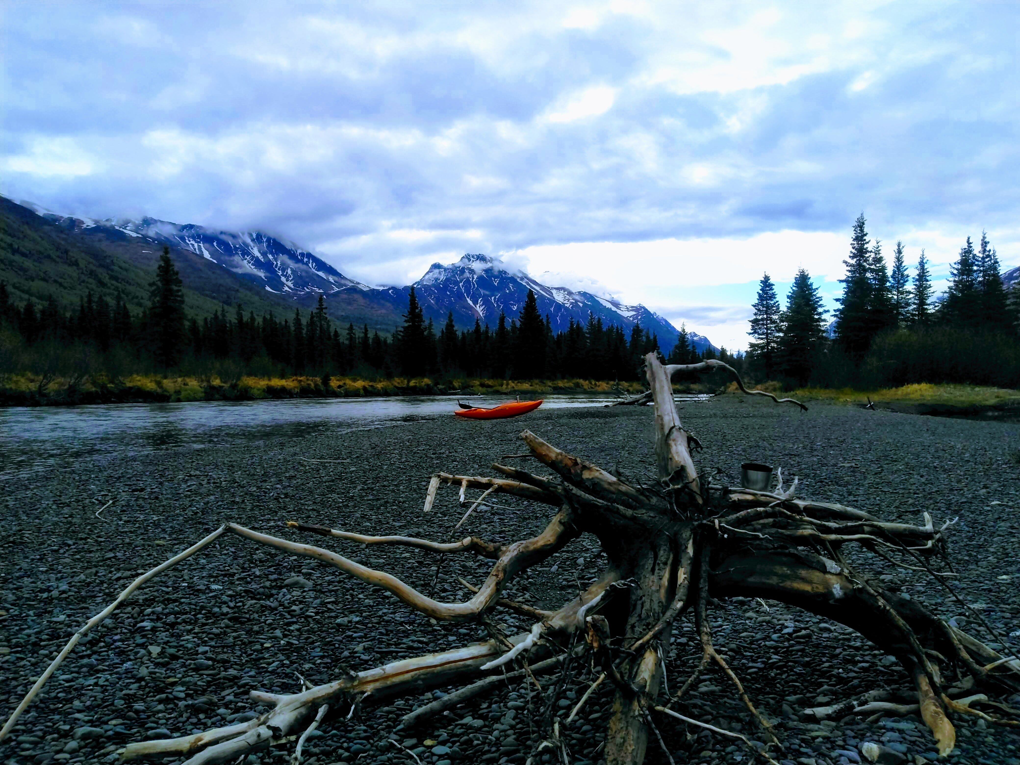
Upper Eagle River is a flat water float, meandering through a wide, u-shaped valley. There is a steady current, taking you through the section in about three or four hours. Several overhanging trees and sweepers keep things interesting, and bears are often seen on point bar beaches.
Additional Information
No trip reports yet.