Twelvemile Creek
SC 137 to Lay Bridge Rd(12 Mile River)
| Difficulty | II-III(V+) |
| Length | 1.9 mi |
| Avg Gradient | 56 fpm |
| Gauge | Twelvemile Creek Near Liberty, Sc |
| Flow Rate as of 1 hour | 45 cfsbelow recommended |
| Reach Info Last Updated | October 28, 2025 |
Written with input from multiple sources including Ethan Talley and Garrick Taylor
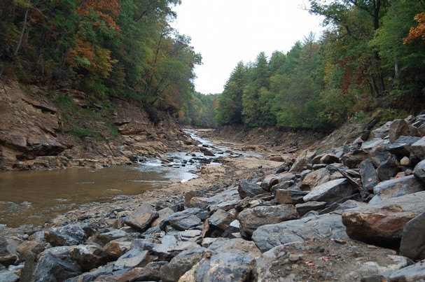
The dams have been removed on this section!
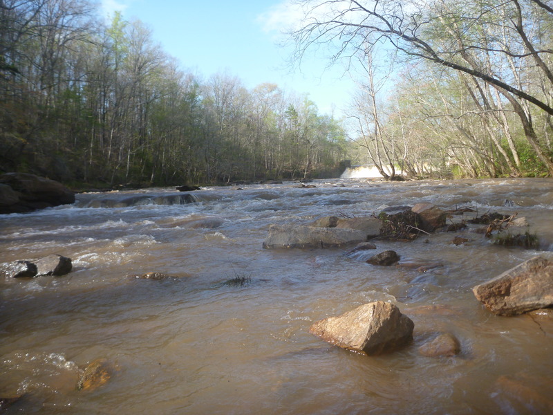
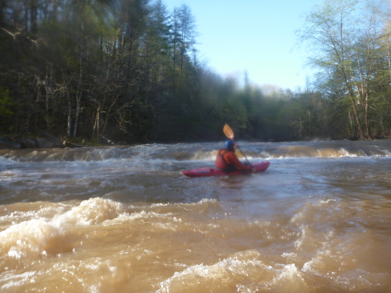
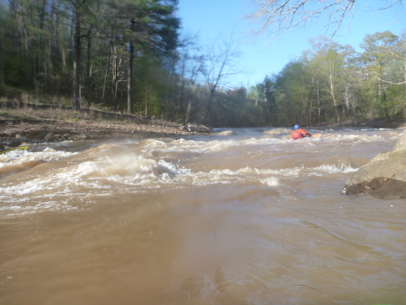
The 12 Mile will be in a state of flux for some time as large sediment loads move downstream. Conditions will change, particularly during high water events. Quite a few trees are in play in a number of rapids, and there's potential for more to fall in as the banks stabilize. Use caution when paddling, especially during the first few high water events.
From SC 137 to the Lay Bridge there is just about 101 feet of gradient in the 12 Mile over 1.8 miles.
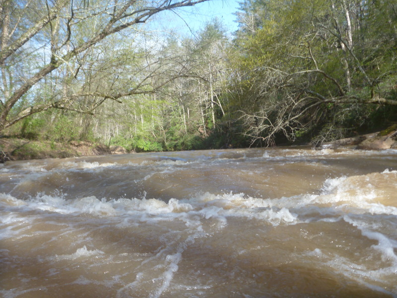
Rapids are rated for average flows (~500 cfs), so raise ratings by one notch when paddling high water, or lower them a bit for low water. The very bottom of the run can be run as low as 100 cfs by hiking up the road from the takeout and then down to the river.
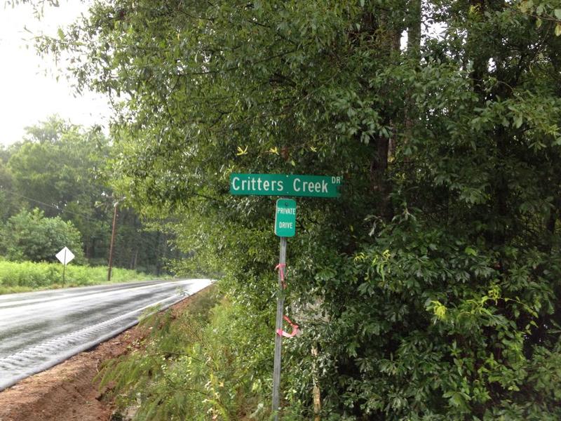
Note on shuttle and parking:
This river’s takeout and put in are very close to residential and high-traffic roads. Be aware as you change and set shuttle/ run laps. Be kind and courteous to the locals and speak whenever possible. The fishermen are usually extremely friendly and very curious about paddle sports. That being said, don’t ruin our reputation here. We could easily start running into vandalism and theft in this area if we don’t keep a good rapport with the locals.
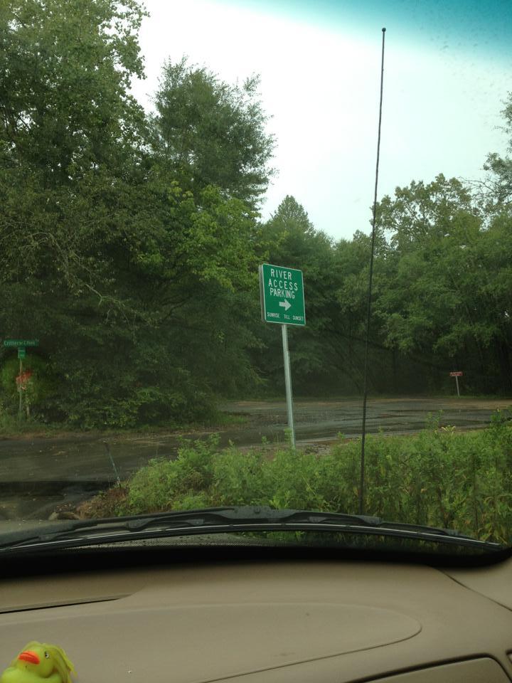
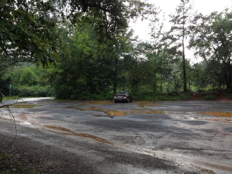
There is a new put-in parking area on upstream river right. The previous put-in used on upstream river left is now posted as a tow zone due to people blocking the gate there. Don't park there. The new parking area is owned by Easley Utilities and leased for use as a put-in. Please park here and keep valuables locked out of sight to discourage break-ins (there haven't been any - let's keep it that way). There is a private drive there. DO NOT drive up this driveway as you will block the landowners that live at the end of that road. You can walk your boat up the driv
...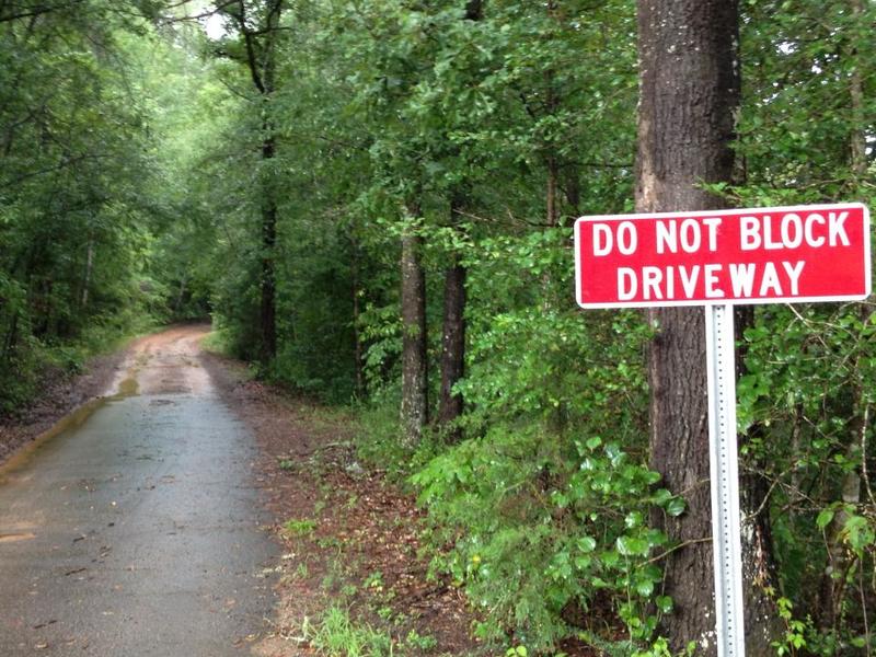
Don't block or drive up the driveway. The owners of the house accessed from this drive need access to their house. Let's not piss them off!
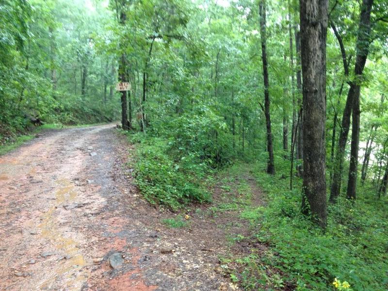
Hike the boats up the driveway and take the trail to the right down to the river. Don't go left unless you want to meet the sherriff
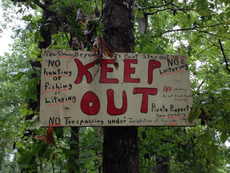
Way too far up the driveway - they have video cameras up here.
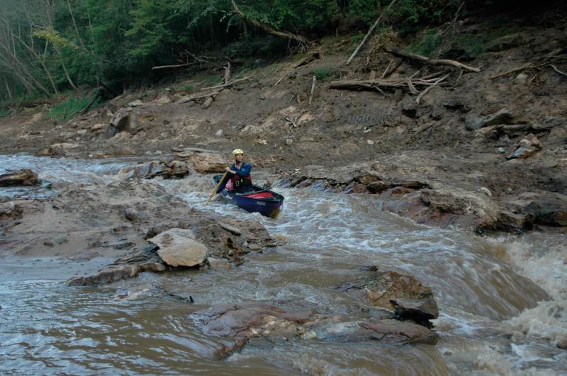
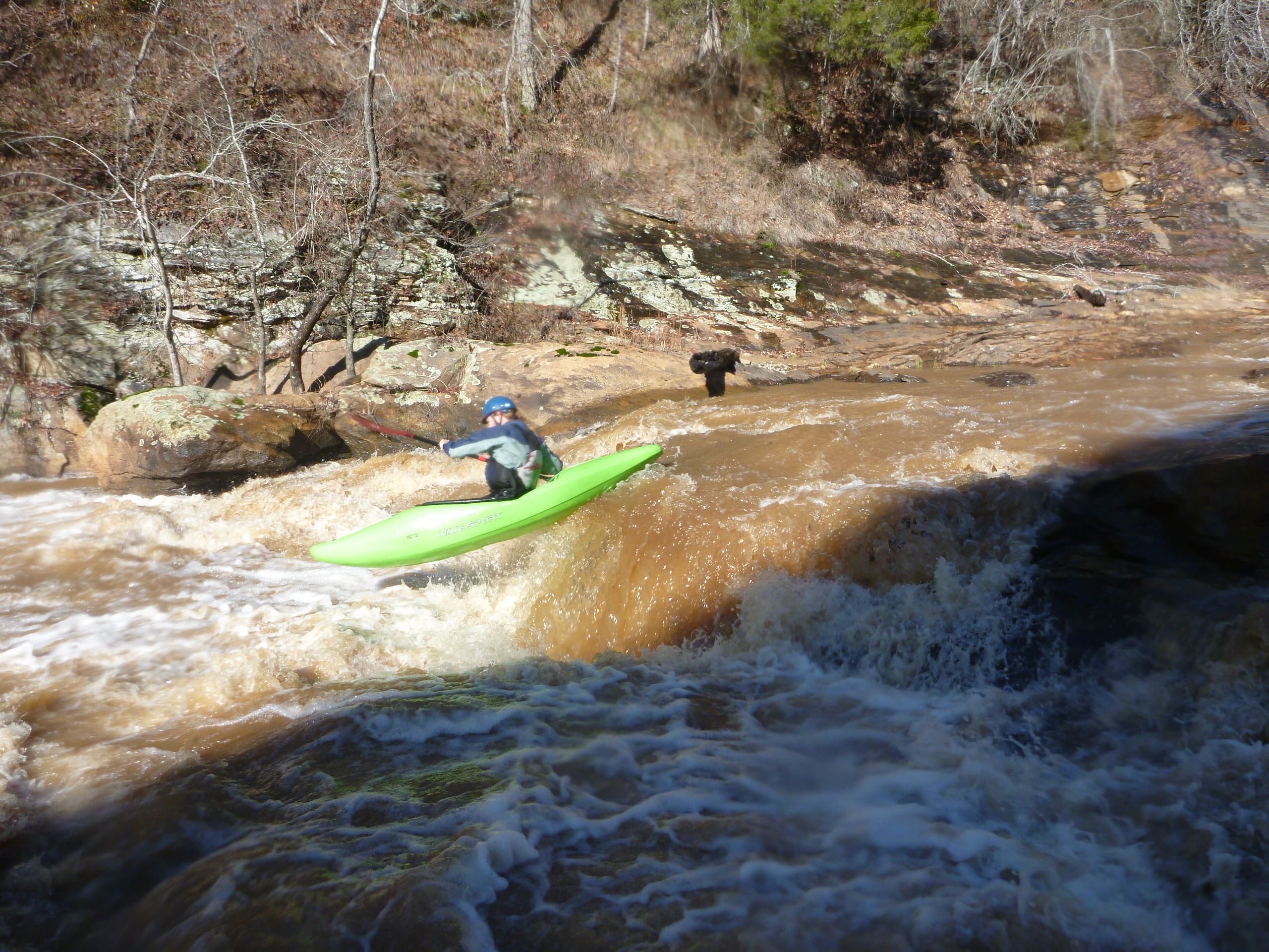
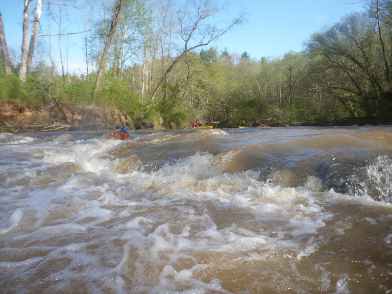
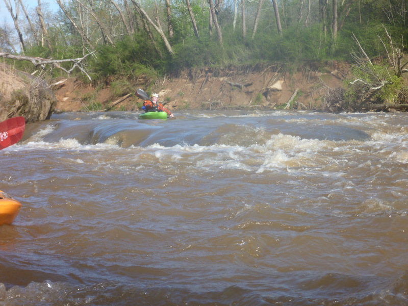
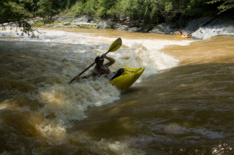
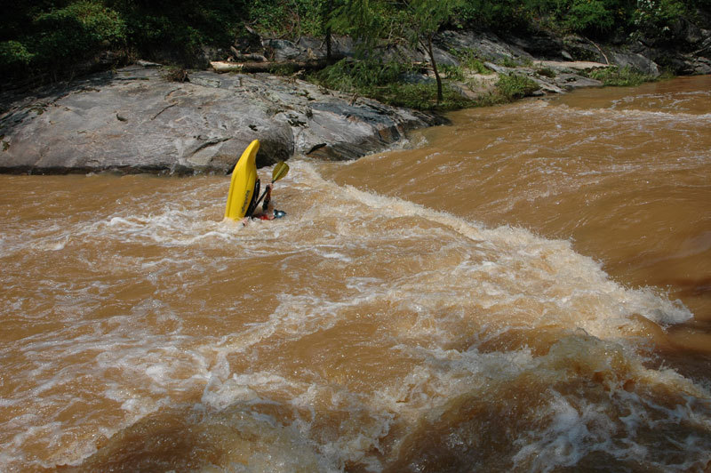
Multiple lines through this rapid, ferry from river right to river left and pick your poison. There are lots of linkable lines that become limited as the level drops. Channelizes very well. Main lines are center of river in an S-turn that terminates either towards river left or river right around a rather large set of rocks. Be careful here, shallow and upstream-angled rocks mean paddles will (and have) disappear if a swim and yardsale occur. At higher flows, the rock that divides the line at the bottom becomes quite a boof (levels higher than 900 cfs)

This is dedicated to the person who spent a large amount of time painting Connie’s name on the river right underside of the bridge. Its blue and yellow, you really can’t miss it.
Uncomplicated rapid with a set of two holes back to back. Beware of the middle of the bottom hole. If you drop in sideways, it can be much stickier than it looks. This is one of many fun places to play on this river, depending on the level. Eddy on river left with a small beach for gear recovery. Beware of trees that sometimes hangup between here and the next rapid.
This rapid is a unique one. Traditional line is to start in the middle of the river and boof off the extending shelf to the right (and around the hole). The rapid’s namesake line is to start just right of center and and then have your boat magically shot downstream through the small holes and waves.
This rapid has a few different lines. Scrape down far river left or take your chances at boofing down the middle (it’s a rough and hard landing). The river right line offers the smoothest and most direct route down the rapid. Stay off the right bank and work back towards the middle. Pro line is to catch the small eddy behind the middle hole and ferry from center back over to river right or try your hand at hitting the boof in the middle.
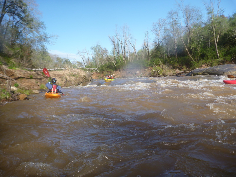
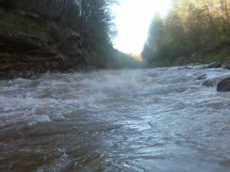
There’s a good distance of boogie water from Split Decision to the Mill rapid. Just navigate your way down. Once you hit a large flat pool aith an old brick building on river elft downstream, you are just above the Mill Rapid.
This rapid can be run down the center of the river through a slot and back to the right or continue through another slot downstream left of center. If you go right, there’s an amazing move off Space Boof (about a 2 ½ ft boof) that’s a fade to the right. Look for the hump and drive for it.
This rapid can be run down the center of the river through a slot and back to the right or continue through another slot downstream left of center. If you go right, there’s an amazing move off Space Boof (about a 2 ½ ft boof) that’s a fade to the right. Look for the hump and drive for it.
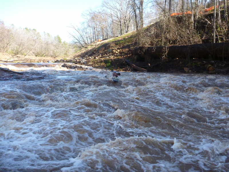
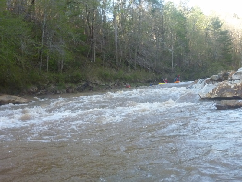
On of the most spectacular rapids on the river. Entrances are available, to the left or towards the right. The left is simple left to right move skirting around a large hole at the bottom. This hole is called Mac’s Paddle Bin and has been known to take things and never give them up. It is a good idea to stop at the top and scout for wood which sometimes hangs up in the rocks and old supports of the building below (part of the flow goes under the building at high water).

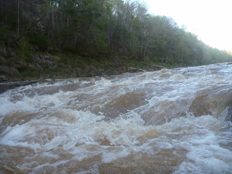
The right line consists of punching a large hole and driving hard straight off the horizon line. You can punch the hole by hitting it where it looks the worst (this will actually get you through upright and unscathed most of the time). Be ready to brace if the hole catches you. Following the hole, do not let the flow push you right over the boof. This boof is about 3 feet tall and offers a great practice ground for other rivers. If the water pushes you right, you’ll land on a flat rock. If you drive straight off, make sure to land flat and know that it’s a false lip. Don’t take your boof stroke until you can clearly see the lip. Make sure to turn your bow to the right as you fall off to ensure no bow damage from a nearby downstream rock.
Know that the outflow is shallow and you’ll need to weave in between some rocks to get further downstream. Stay away from the river right log pile and work back towards the middle of the river.
A sneak is available on far far river right. At lower flows a wheelchair move is necessary, but this goes around the large hole and spits you out right at the good boof.
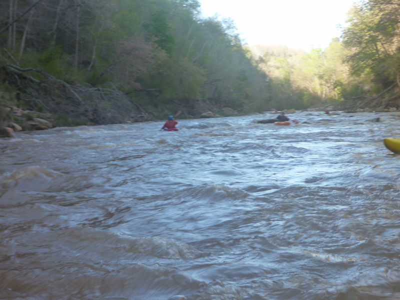
You’ll have a small pool and see a noticeable horizon line. You will also see what looks like an old log cabin on river left signifying your proximity to this rapid. Be careful because wood frequently hangs up in this rapid. Lines include running the tongue on river right and working left, eddy hopping down river right and working left, or river left through some smaller drops from eddy to eddy. There is some good catch on the fly surfing on river right about 2/3 the way down the rapid if it is clear of trees. Below this rapid is solid class II+ boogie water with some funky rocks sticking up. Large eddy behind on river right, smaller ones on river left and boogie feeding straight into TKO.
This is a river-wide ledge hole that resembles something of a lowhead dam. This rapid got its name after a local boofed a little less than straight in a playboat and spending some time in the hole. His “friend” decided the best bet was to boof his buddy out of the hole and ended up landing on the helmet instead of the playboat. A slight head injury and cracked helmet were the result. This rapid can be run anywhere, but at higher flows, the river left side offers more of a runout instead of a defined ledge hole, also a nice boof on the river right side of the drop. Be careful to keep your boat straight and don’t float into this with complacency. Its quite a powerful drop. There is a tempting surf wave on river right before the drop but if you goof up, you run the drop backwards.
This is the best surfing section outside of the Lay Bridge section on the river. Good waves, some with river left eddy service, some with small eddies mid-river, and some are catch on the fly only. At the right levels, there are a couple of good flat spin holes here as well. Even creek boats surf well here.
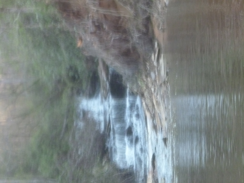
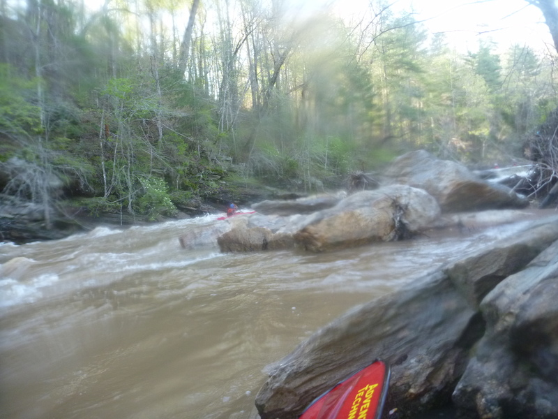
In the summer of 2013 a massive rain storm filled the gorge with copious amounts of water and flooded tributaries. Camp Creek enters on river right and the drop you can see on Camp Creek was run during that storm. The rocks that seem to be blocking the creek from entering the Twelvemile were actually moved by the force of that small creek. A young man died on when Camp Creek flashed and trapped him in his car, which was found several days later.This stream will explode in an instant with the right amount of rain, giving the Class V crowd some local excitement when combined with nearby Todd Creek on a rainy day. AW's wonderful software turned the picture sideways....
This rapid was originally named Hornet’s Nest because of a large nest on river right. That nest has since disappeared, but the large developed property on river left give it the current name of Geezer Beach (noting the age of the property owner). This is a complicated rapid that includes a sizable 2.5 ft drop that exits into many small and convoluted holes and diagonals. Lines include boofing just right of center, running the center tongue, or staying left and bumping down. Note that the smaller holes at the bottom are known to give paddlers funky problems until the bottom. Some of the funky water is likely due to the fact that some of the rocks were added to try to control erosion in this stretch. Boogie to follow.
This is more or less an eddy work out. Beware of the trees that often lurk just under the water. This can be avoided by going left or right of the rocks. A small boof is on river left just after this. This boof is a fade to the left. Beware that a sieve is just to the right of this boof and viewing it from downstream can make you a little weary of what might be on the bottom of the river. This section traps a lot of sediment and changes a bit between major rain events. Boogie follows until Wavetrain / John’s Tailbone.
This rapid got the name of John’s Tailbone after a local SUP paddler decided to fall off and find the bottom of the river with his bottom. The entrance is on river left and includes a flipper rock that gets some. This rapid is run from left to right or left to center. There is also an entrance on the far right into a boof at higher water. A hole at the very bottom can sometimes get people. At lower flow there are many eddies in this rapid. The brave (or stupid) can try playing in the hole. There are also some small surf waves for the less brave (or smarter folks). There is some more boogie before Around the Corner (formerly Woodside II).
This rapid has two distinct lines: The first is to stay in the middle of the river and navigate your way down. The second is to attempt a difficult double boof. The double boof is what gives this rapid its name by being, “just around the corner and out of sight.” Boof the first rock off the right side and then drive hard to fade of the next boof to the right (these are not boofable at lower levels). Very manky at the bottom so make sure you get on the rock. Fun fact: at flows below 200 cfs, this rapid offers some of the best eddy practice around. The highest number of eddys caught to date is 11 in this rapid at lower flows. The challenge has been set. Below this rapid is more boogie (with a few surf waves) until the Lay Bridge section rapids.
This is a friendly play spot around 250 cfs but becomes a hole sucking trees off the bank at hgh water. At higher water, look for a break across the ledge on the left side and drive through the break hard into the eddy below.
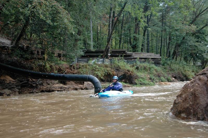
A fun ledge below Rodeo Hole, with a water intake structure below on river left. At medium levels (500 cfs or so) it becomes sticky but playable. It looks scary at high water.
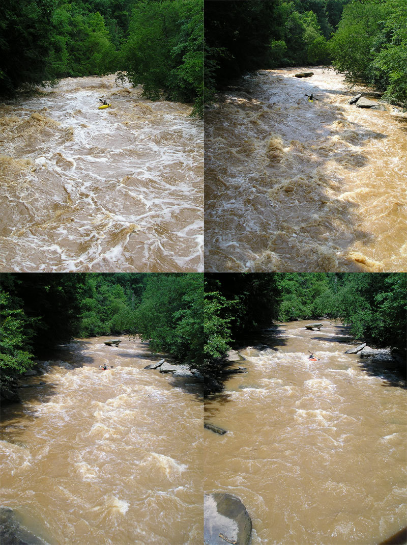
Visual guage looking upstream from the center of the iron bridge. Pictures taken June 26-29 2006. Levels are 4,000cfs, 2,000cfs, 600cfs, and 300cfs.
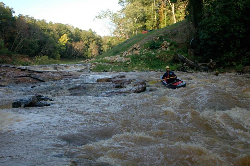
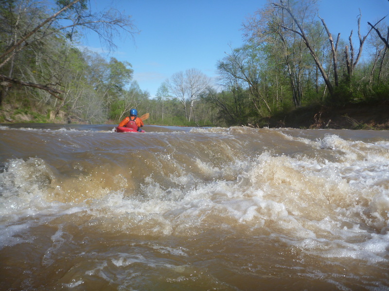
At normal levels (~500 cfs), there are eddies to catch and a couple of waves to surf IF you can catch them on the fly. Awesome wave near the bottom that will give a great, long ride if you can catch it.
At Ocoee release levels, this rapid is comparable to tablesaw in many ways, with a nice wave train, holes to punch or eddys to catch. Make sure you note that the main flow folds directly onto the bridge pier which at this level is undercut. Boats have been folded on the pier before. Make a move to the right just before the pier if in the main flow, or run down the sides.
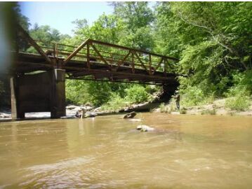
Don't miss the takeout at the bridge, or you will flush into CBT falls
Don't miss the takeout, this mega stout is just around the corner and has a blind entrance. rumored to have been run once by dabo sweeny and robert p ingle in a duo
Oct 28, 2025
Jun 10, 2019
Access has greatly improved with the addition of Cateechee Beach County Park. Right where Norris Hwy (137) crosses Twelvemile Creek. Large parking lot and paved path going right down to the water.
Google Maps pin for park - https://goo.gl/maps/wvnLehWBtqx3XiVr5
Apr 9, 2016
Most of the rapids, between the dam and Lay Bridge, at a decent level: https://vimeo.com/161848703