Cottonwood Creek, Middle Fork
2) Platina Road to North Fork
| Difficulty | I-III |
| Length | 24.8 mi |
| Avg Gradient | 29 fpm |
| Gauge | Cottonwood Creek Auxiliary Gage |
| Flow Rate as of 21 days | 107 cfsstale data |
| Reach Info Last Updated | December 31, 2023 |
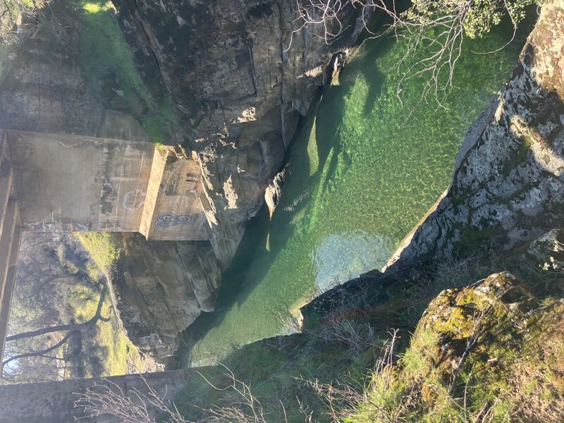
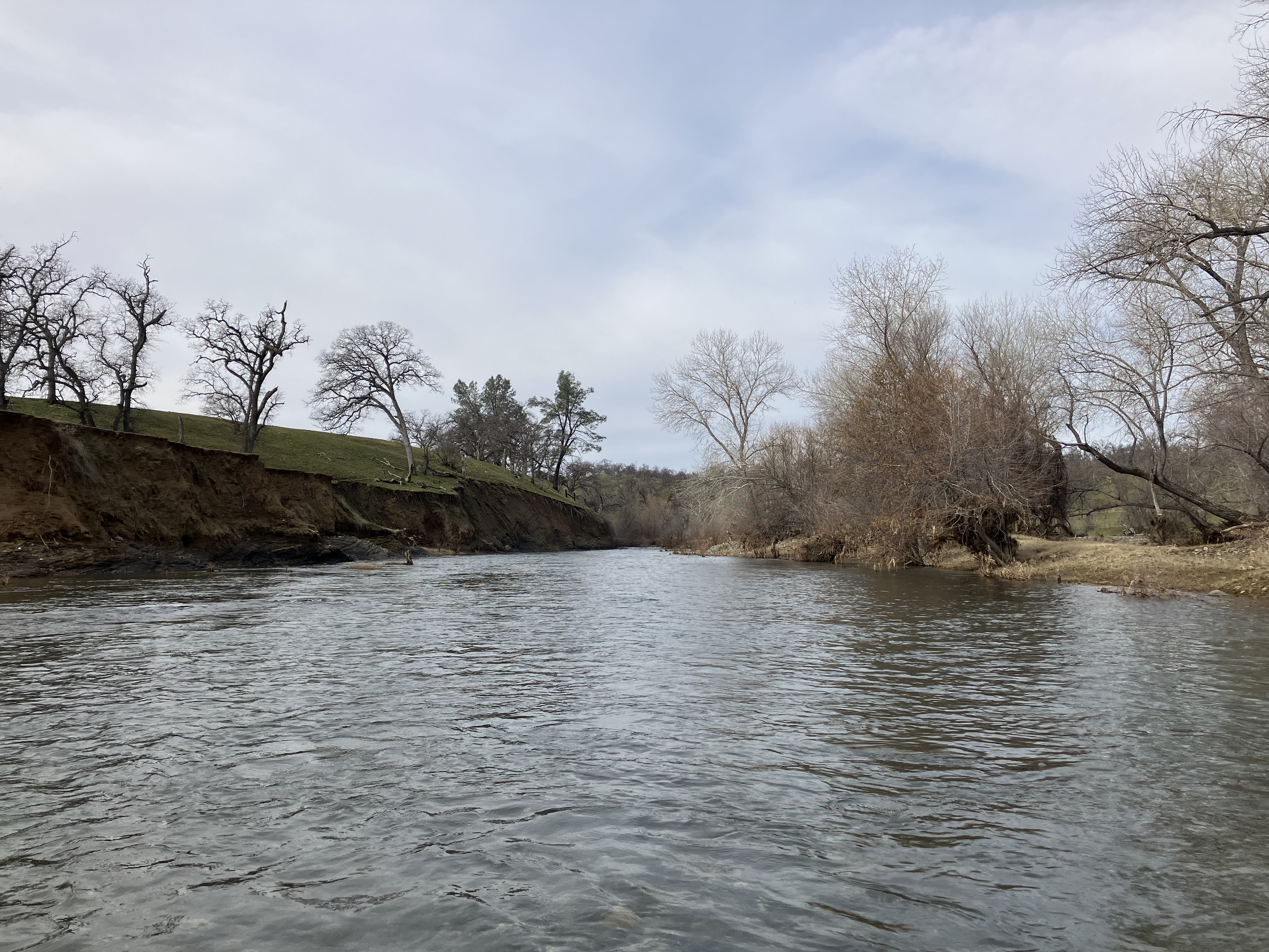
A relatively calm and very brushy overnight trip through oak woodlands and cottonwoods, similar to Putah or Grindstone Creeks. There is a lot of private farmland along the way, so be aware of where you choose to put in, take out, and sleep. Expect cows and Class I-II paddling for most of the way, with some braided, tree-choked portages along the way, and especially for the middle 8mi. The views on the way to the put-in, which show the Yolla Bolly Wilderness in full glory against the valley geology in the forefront, are kind of the best part of this run.
Additional Information:
SCHWIND GUIDEBOOK
Bureau of Land Management (BLM) has reinitiated public scoping for its Northern California Integrated Plan (NCIP), which will determine the future management of 382,000 acres of public land in northcentral and northwest California. Protections for all of the forks of Cottonwood Creek are on the table; they were originally included in the BLM’s Arcata region study in 1995, but not in the 2018 inventory. Learn more at www.calwild.org.
Camped on river right, but if memory serves me, it may have been private land.