Tyger, North
Route 231 to S.Tyger River
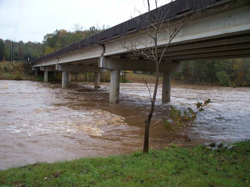
Nov 11, 2009
Tyger at 11.92 ft
Aug 30, 2009
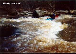
The South and North must be done as one or suffer the terrible hike out. The level must be at least 900 cfs to make it worth the time. I have run it at 16' ,more like the Gauley with a lot of trees and strainers. Optimum would be 2000 to 3000 cfs.
Oct 21, 2003
You can take out at the hwy. 50 bridge which is about 1/3 mile downstream of the confluence. If you do try to take out at the actual confluence you would have a long hike. I am not sure about the land ownership at hwy. 50 bridge. I have only taken out there about once out of the 100+ times I have paddled the river.
May 12, 2003
There is no takeout for this run. If you boat down to the South Tyger confluence and expect to take out you are in for a big surprise. The only takeout is an EXTREAMLY LONG unhappy hike up an old road bed to the South Tyger put in. This is really not a valid run but part of the normal North Tyger run listed elsewhere in the AW page.