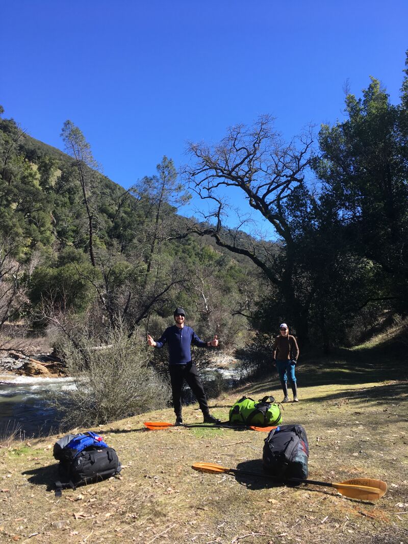
Coyote Creek
Gilroy Hot Springs Road to Coyote Reservoir
| Difficulty | II |
| Length | 8.6 mi |
| Avg Gradient | 52 fpm |
| Gauge | Coyote C Nr Gilroy Ca |
| Flow Rate as of 24 minutes | 0 cfsbelow recommended |
| Reach Info Last Updated | November 22, 2023 |
If you're looking for an ideal, scenic Class II daytrip with a short hike, this is your best bet within 2hrs of the Bay Area. Packrafters are especially suited for this run. It's a lush forested canyon that doesn't get much sun. Since this is a super ephemeral run that comes up a few times at best in an average winter/spring, it'll be on the colder side in there – bring your layers. The flow window is short; best to do this a day after a decent rain.
Not much in the way of rapids to name except for 1-2 sections that require some technical turns and multiple drops. Everything is easy to portage if need be. Overhanging trees and occasional brushy sections end up being the most likely causes of swimming.
I'd suggest taking out at the bridge a few miles above Hunting Hollow and walking the remainder, or leaving a bike – those last few miles are super brushy from the looks of it. Note that there is no legal parking near the bridge, though.
Set shuttle with one vehicle down at Hunting Hollow. Drive up to the Henry Coe Ranch (park HQ) and hike down to Poverty Flat via Manzanita Point Rd and Poverty Flat Road/trail (~3mi).
Other information sources: