Hiwassee
1. Dries: Turtletown Creek to Apalachia Powerhouse (Dries)
May 16, 2003
| Reporter | Brad Roberts |
From: Gomer@EmpireStateOfTheSouth m
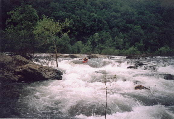
at the flow under the TN Hwy 68 bridge (or Czech the TVA site to see if the Appalachia dam is spilling). Do not put in at the dam or Hwy 68 since you'll be boat-bushwhacking class I or II for many miles. The best put-in is off the USFS road that runs between Turtletown and Reliance (TN). In Turtletown follow the USFS signs that direct you to Appalachia Powerhouse and Big Lost Creek campground. The put-in will be the point that you first come down to the river. Be sure to hike up the railroad tracks for 1/4 mile for the first good rapid. The take-out will be the Appalachia Powerhouse (follow signs). The rapids are Ocoee-like but not as numerous. Of course there have been some high flows lately--15K last Thursday--so make sure you are comfortable on the Ocoee at similar levels. One place of note is called The Narrows--a wall of broken potholes. Although not a challenging rapid, the strange currents through there make it interesting.
It runs more often than the once in ten years you mention; I'd say a half dozen or so times a year after heavy winter rains. It's a run you'll do once or twice then move on to other things when the conditions are such that it's up. Other creeks in the area are Coker, Turtletown, Big Lost Creek, and Wolf Creek.
Also, it's also the only other location--the Ocoee being the other--where the rare Ruthie's Golden Aster is found.
Hope this helps.
Gomer