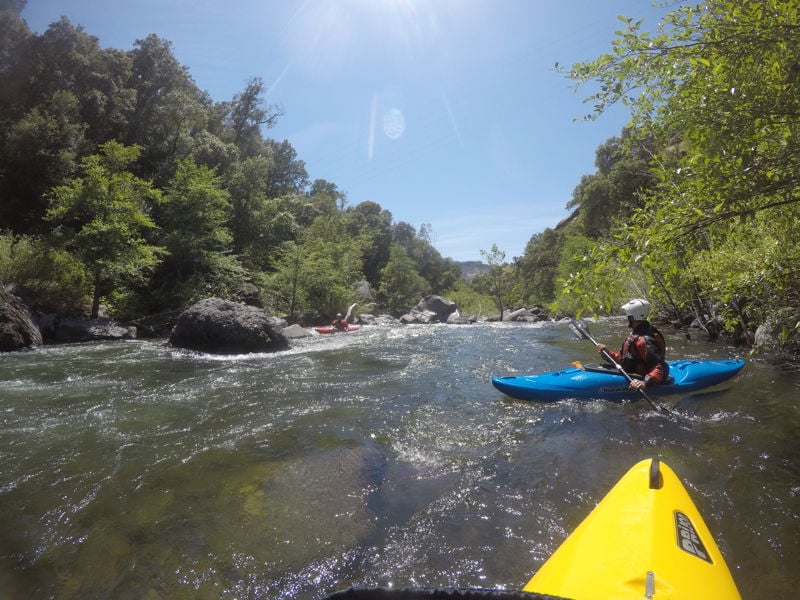
Deer Creek
2. Ponderosa Way Bridge to Leininger Road Bridge(Lower Deer Creek)
| Difficulty | IV-V |
| Length | 23.7 mi |
| Avg Gradient | n/a |
| Gauge | Deer C Nr Vina Ca |
| Flow Rate as of 1 hour | 103 cfsbelow recommended |
| Reach Info Last Updated | May 2, 2022 |
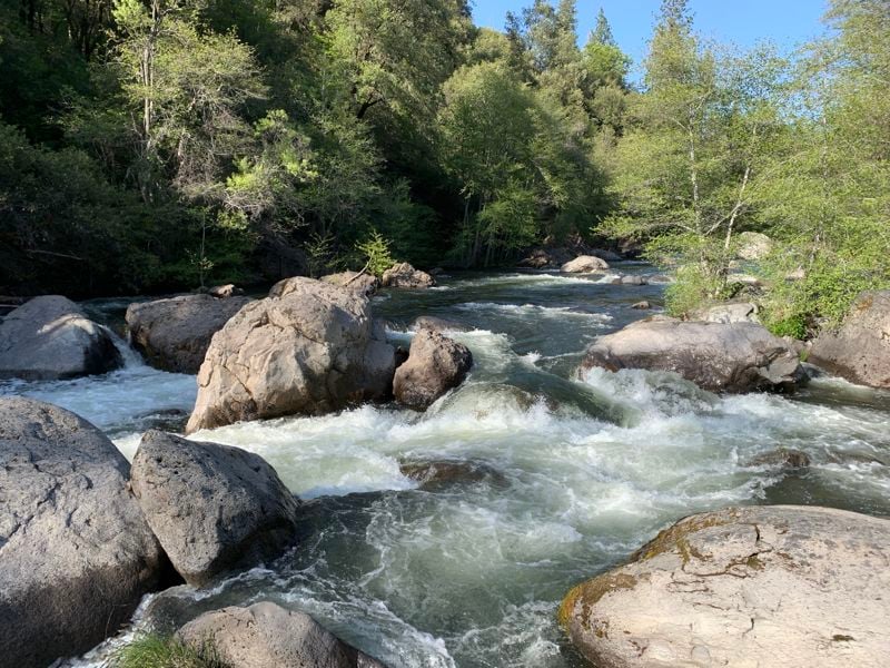
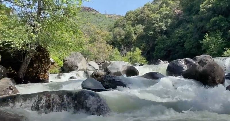
Deer Creek has the lore of the Ishi Wilderness hemmed in by basalt and poison oak. The rapids are tasty and the window on this run is limited which is best enjoyed as a multi-day expedition. Deer Creek flows through the land of the Yahi Yana people cutting into some beautiful remote areas with thick chaparral vegetation and mini-canyons. Deer Creek sits in the Lassen National Forest and holds some unique geology and whitewater.
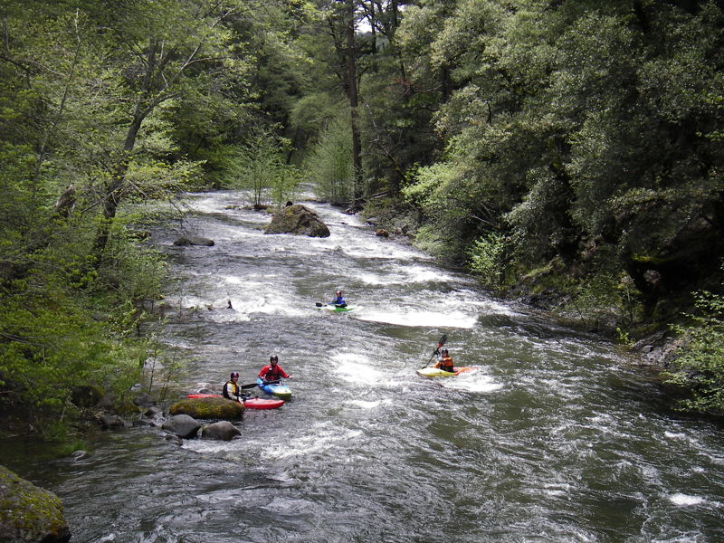
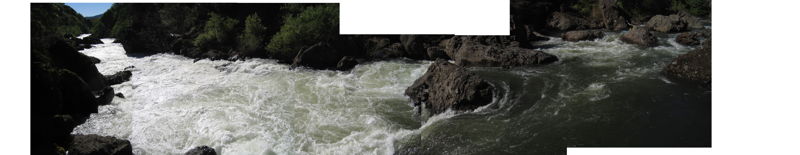
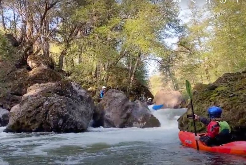
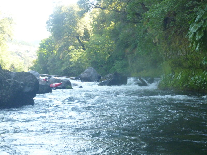
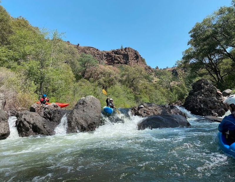
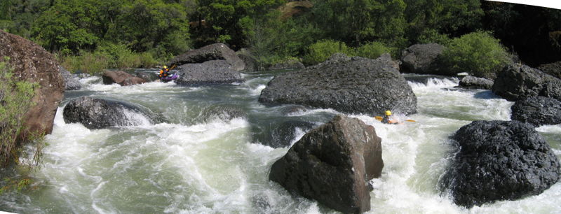
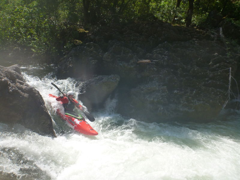
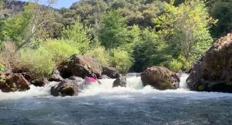
This lower section of Deer Creek starts off with a bang, with several Class IV rapids that start about a half mile below the bridge. After the first mile and a half of Class IV you will find miles of boat-scoutable class III and easy IVs. The one exception is the Black Tower. This rapid has changed over the years and has become a jumbled up mess that is notorious for collecting wood. There are several incidents of boats being pinned in this rapid (see reports below). The rapid is very recognizable by the large black lava rock tower in the river.
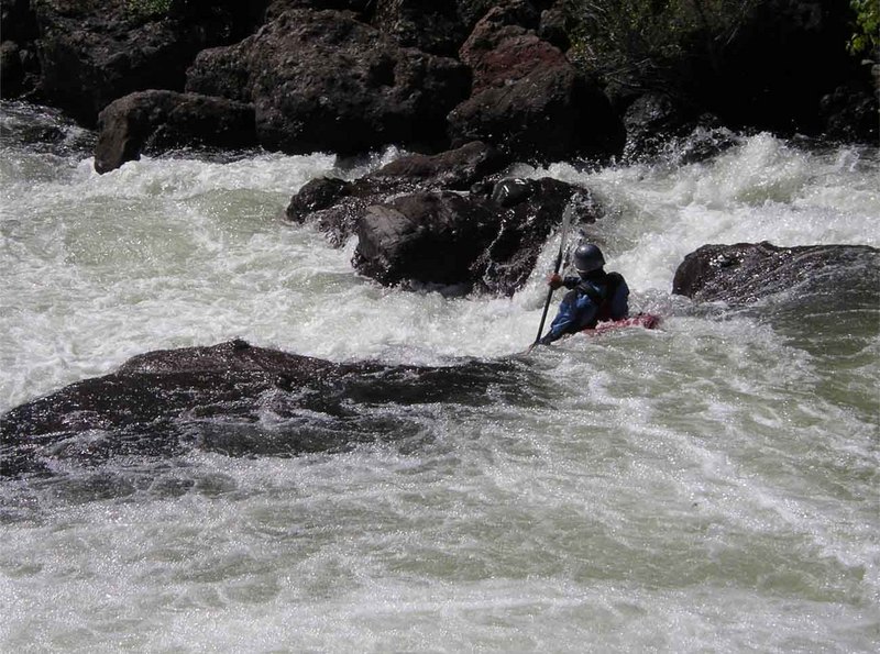
The crux of the run is Ishi Falls at river mile 8. A straight forward slot is just above Ishi Falls. Be careful not to get tempted into the falls before scouting. From here to the take-out are miles of very pleasant, mostly boat-scoutable class III and IV rapids. One rock jumble, Camp Rapid, is often run on the right, but even that line is junky.
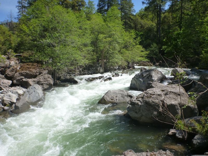
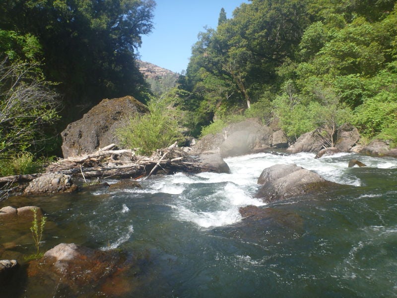
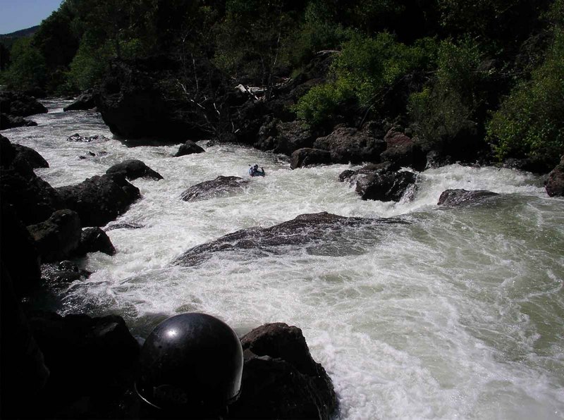
Gradually, the run transitions into an open lava-cliffed canyon, with several narrow lava channels. The cliffs build until you break out into the valley. The hour and a half of flat braided channels in the valley is not the best part of the run, but a small price to pay for an amazing experience.
Be advised that most of the lower part of this river runs through private property. Please be respectful. Also be advised that an easement allows public access on either side of the Leininger Road bridge. Paddlers have been challenged when using this access in the past. Be polite but clear that you have the right to exit the river
...
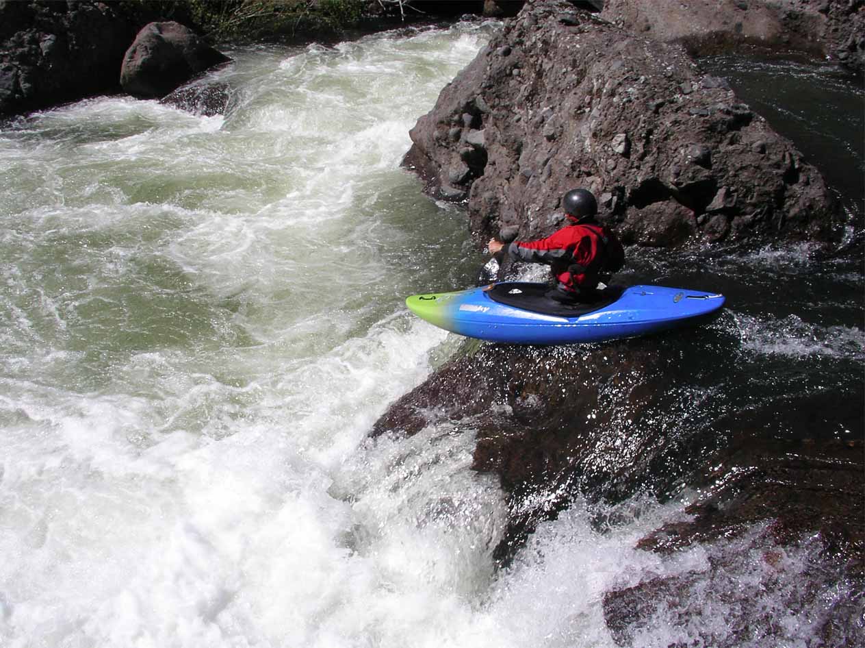
The first of several class IV rapids at the begining of the run.
This is a picket fence affair, the right door is usually the best option.
Longer rapid about a half mile below the put-in.
This tree has been here for several years and doesn't look like it is going anywhere. This is not a big rapid but the tree is hard to see before you are commited to the rapid. There is a nice sneak to the right.
This rapid has a tendancy to collect wood and can be chunky at low flows.
Straight forward boof. Just don't veer to the left.
Fun rapid in the black basalt. Many line options depending on flows. This is just below the cabin you see on the left.
Straight shot boof down the left. Be sure to eddy out after this rapid, Ishi Falls is immediatley downstream.
This is the hardest rapid on the run. Best scouted on the left, portaged on the right. Generally gets harder at lower flows.
This rapid is junky at most flows. If you choose to run it, the line is down the right. This rapid is just below the one campsite that is in the middle of the run.
Sisters is a double drop rapid (Who needed another rapid called 'Double Drop). Hit the ski-jump at the top and don't get pushed too far left at the bottom.
Just about the time you think you are done with the hard rapids, this one shows up. Unfortunatly, at low flows this can be a portage.
Apr 24, 2022
Deer creek is a spectacular run not only for the whitewater but for the scenery as well. We did three days and two nights through this highly remote canyon. Starting in the pines and paddling through multiple ecosystems, you end up in the valley paddling on what feels like a whole different creek. The water was very low, so there were a few portages and some pretty junky rapids, but it was a whole lot of fun. Very manageable and helped me learn a lot. Big thanks to Dave for looking at most rapids and picking perfect lines!
Tessa Coffee
Dec 3, 2019
After being high centered on the rock in the picture for about three hours, we finally made it to the put-in about 6:00 PM. The run was low but very doable. Ishi Falls was stout. We all portaged. Great two night trip.
May 31, 2006
Submitted by Jon Hindman:
Location: Lower Deer Creek, definitely below the Ponderosa Way Bridge, but above the last three more challenging drops in the lower section. Party launched at Potato Patch Campground for three-day trip. Launch date: late Saturday afternoon, May 20. Guage level was holding at around 4.13 the last time we checked flow. Was 3.95 when we floated past gauge on Tuesday afternoon. Group was very experienced, two of us were on our 4th trip down Deer Creek, and have tons of other CA runs on our resume, including multiple upper Mill Creek, Devil's Canyon Middle Feather, Bald Rock Canyon, and S. Fork Merced trips.
This drop looks like virtually nothing. I boat scouted it from the top, and elected a straight line down the right side, away from the large overhanging boulder in river center. Run was uneventful, and nothing in the water's surface characteristics indicated possible problem. Second paddler more or less followed my line, maybe two or three feet left at most, and was straight on and paddling easily. From my view position, it appeared as though the boat stalled in a small pillow wave, and suddenly back-endered as the water caught the back end which was loaded with self-contained trip gear. Boat slid under the submerged log and was pinned vertically immediately, with less than 1 foot of bow visible. Paddler was submerged for approximately 10 seconds and then emerged on downstream side of log, swam last part of drop into pool below.
Boat proceeded to sink further until just 6' or so of bow was visible. We were able to use a long tree limb with carabiner/ throw rope taped to it to clip in to bow grab bar. Subsequent attempts to free boat toward river right were unsuccessful, including a 3-pulley z-drag. This in fact may have wedged boat further into a tightening slot at river right end of log. Boat was left as darkness fell, and we camped above on a bench. Short work next morning with different z-drag pull from the top of the large boulder in center of river freed boat, although getting back up and out to boulder required considerable effort. Boat was badly bent, but not broken, and there was no loss of gear.
This log appears to be quite well 'seasoned.' It is approximately 16-24' in diameter and quite smooth, probably 10-12ft long and dead perpendicular to the current. At the level we were on, it was completely invisible. At higher flows, it probably does not pose a threat, and at lower flows may be visible and well-known. It caught us completely by surprise, and could be a death trap to a larger paddler unlucky enough to experience the same pin.
Hope this helps others. Email me if you have any other questions. Jon Hindman riverrrunnr@hotmail.com Jackson, WY