Eel
1) Horse Creek to Lake Pillsbury(Upper Main Eel)

| Difficulty | IV-V |
| Length | 18 mi |
| Avg Gradient | n/a |
| Reach Info Last Updated | March 1, 2025 |
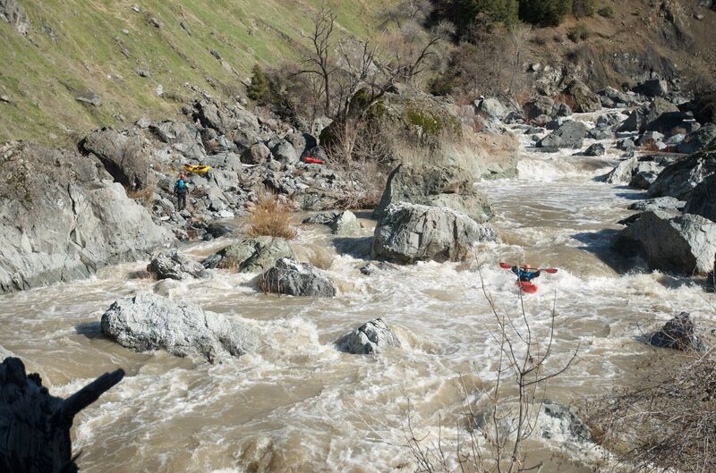
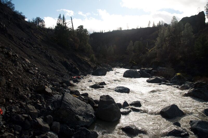
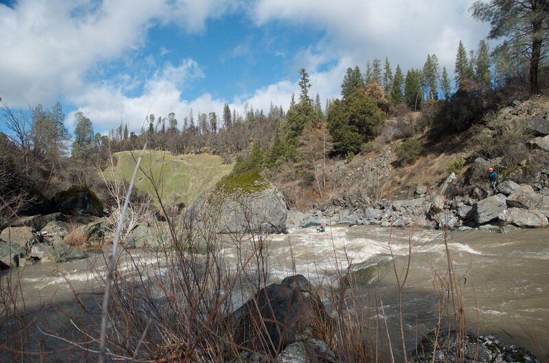
The Upper Main Eel is a unique run in a beautiful and wild canyon upstream of Lake Pillsbury. It features fun rapids, a mandatory portage, and variable gradient all the way from 35 to 199 feet per mile. Start early: this is a long day trip and there's a fine-mile paddle out across Lake Pillsbury to get to a reasonable take-out at Sunset Campground. Alternate take-outs are Pillsbury Pines Day Use Area, Navy Campground, or Fuller Grove Campground.
Following the planned removal of PG&E's Scott Dam as early as 2028, this run will likely be extended to take out on the river downstream of the site of Scott Dam.
Additional Info
Menton, D. (2016). The New School Guide to Northern California Whitewater, p. 220.
Holbek, L., & Stanley, C. (1988). The Best Whitewater in California (3rd ed.), p. 12.
Jun 7, 2020
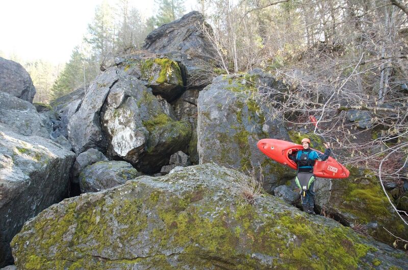
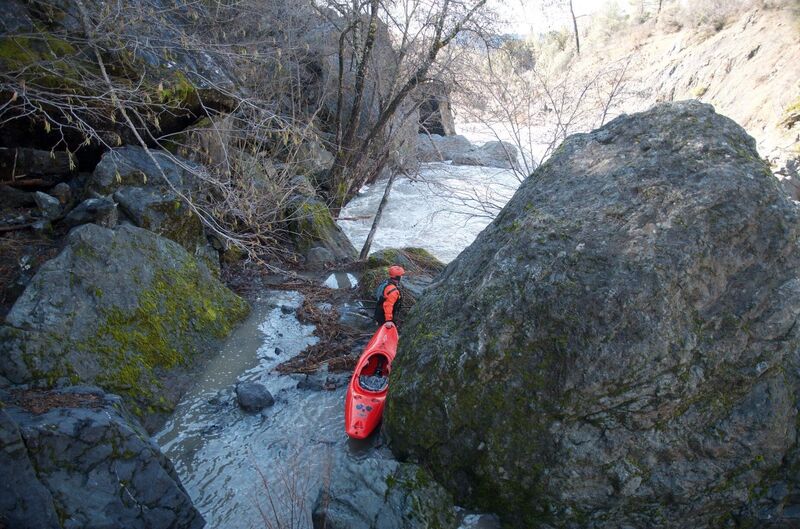
I ran this at the beginning of 2020 twice. The memory's already faded a bit, so some details may be wrong. The first run had ~2k CFS and was spicy! It started off with continuous brushy (class III-ish) warmup for a mile or so. Bloody Rock marks the beginning of the action. Look for a huge rock forcing the river to make a sharp left turn. We were able to eddy out in the elbow of the bend and portage from there, but if the eddy wasn't there we may have had a bad time. The next few miles had large rapids that flowed quickly into each other. We got out and scouted a couple times through this. After one of the bigger drops around a large rock on river left, comes a long and steep rapid. We all portaged the top half and 2 ran the bottom half. A couple more nice IVs later I found myself upside down, hungry for air. Good thing I got out when I did. The next drop looked like a nasty swim (2 others in the group and my boat ran it without incident). As my boat continued happily downstream (to be found a couple miles later and stashed on shore). That was the end of my first run. Fortunately for me, another in our group lost his boat at almost the same time, so we hiked out together.
The second run followed a week later and started out with a hike back in, taking ~1 hr from 39.464059, -122.891347 to 39.459418, -122.861665. The flow was down to ~500cfs. Walking on the shore, we quickly found the first boat. My boat had a more gumption and required walking/swimming another 2 miles. At the low flow walking and swimming were both quite easy, and I arrived to find my boat intact and none the worse for wear (save a couple of dents and a missing float bag). The rest of the run was relaxing low flow class 3. By the time we reached the lake the sun was starting to set. Expect an hour of paddling on the lake.
tldr:
2k: hold onto your boat
500: bring a beer, but watch out for portages