Onion Creek
2. Wm Cannon Dr to Richard Moya Park (6.35 miles)

| Difficulty | II-III(IV) |
| Length | 6.5 mi |
| Avg Gradient | 10 fpm |
| Gauge | Onion Ck at Us Hwy 183, Austin, Tx |
| Flow Rate as of 19 minutes | 6 cfsbelow recommended |
| Reach Info Last Updated | November 9, 2015 |
Level
Description
500-1000cfs
more info coming soon.
1000-1500cfs
more info coming soon.
1500-2000cfs
more info coming soon.
2000-3000cfs and above
more info coming soon.
Put-in at approximately 500' elevation.
Take-out at approximately 440' elevation. There is a large parking lot next to the stream at the upstream end of Richard Moya Park.
For more information, see Texas Whitewater 2nd edition.
Nov 7, 2015
~400 cfs
Nov 7, 2015
~400 cfs
Nov 7, 2015
~400 cfs
Nov 7, 2015
~400 cfs
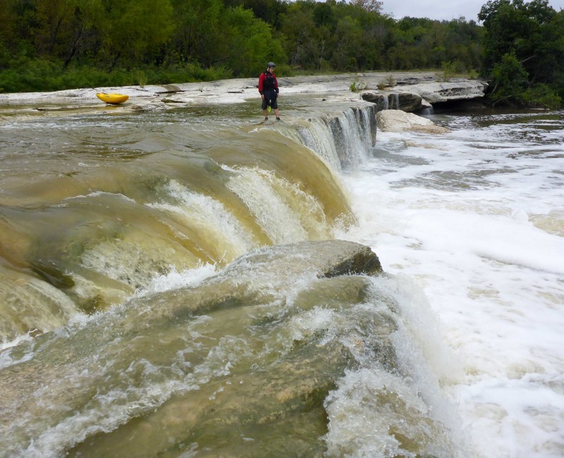
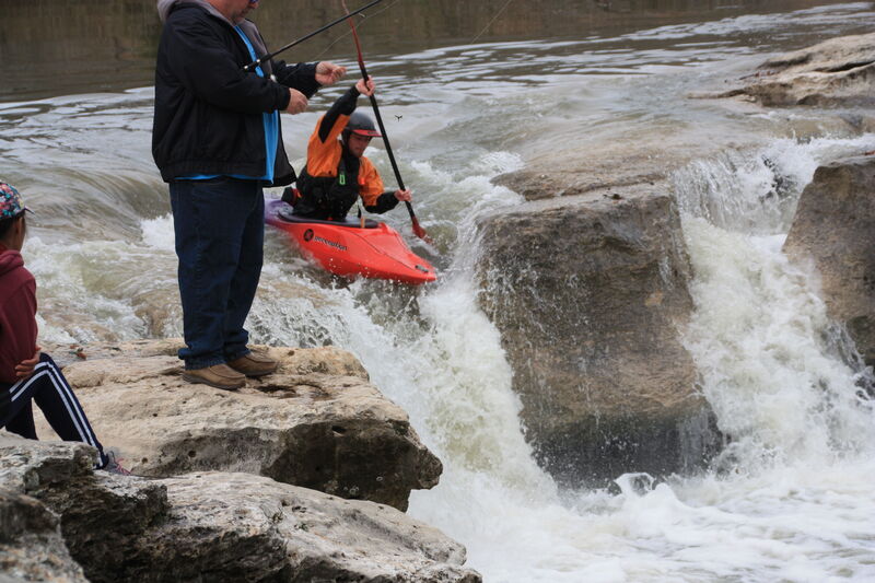
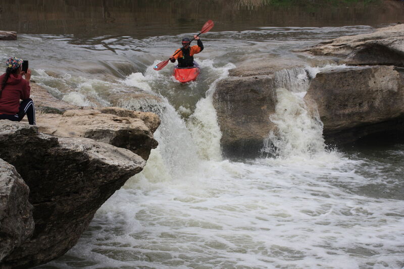
Jan 1, 1900
Fishers were present but did not bite.
Jan 1, 1900
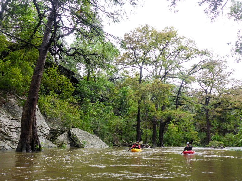
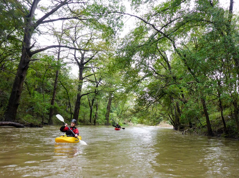
Upper McKinney Falls on Onion Creek around 250 cfs. The first 2.5 miles of the run were flat with sme occasional class I stainer dodging. The whole creek then turned right at a large limestone shelf which forms the upper falls. Creek funnels into a 5-8' chute/drop. Try to boof away from the veil on the right. Be careful-the limestone shelf forms a riverwide undercut behind the veil. (See bottoms left of photo) Otherwise super fun drop with pnh potential.