Colorado
16. Cisco (Rose Ranch) to Moab(Professor Valley)
| Difficulty | I-III |
| Length | 46.7 mi |
| Avg Gradient | 5 fpm |
| Gauge | Colorado River Near Cisco, Ut |
| Flow Rate as of 34 minutes | 1700 cfslow runnable |
| Reach Info Last Updated | May 20, 2026 |
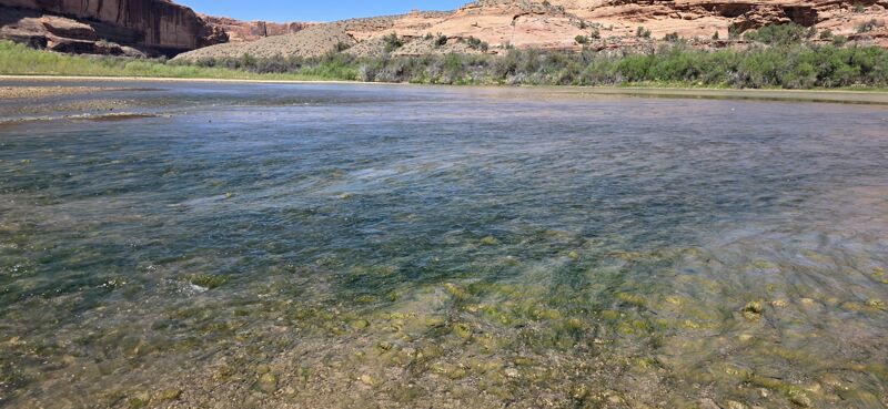
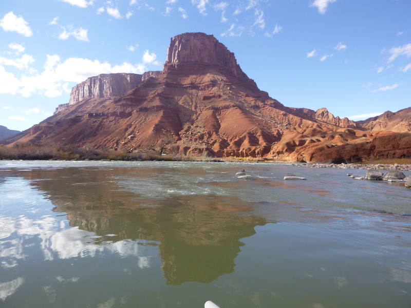
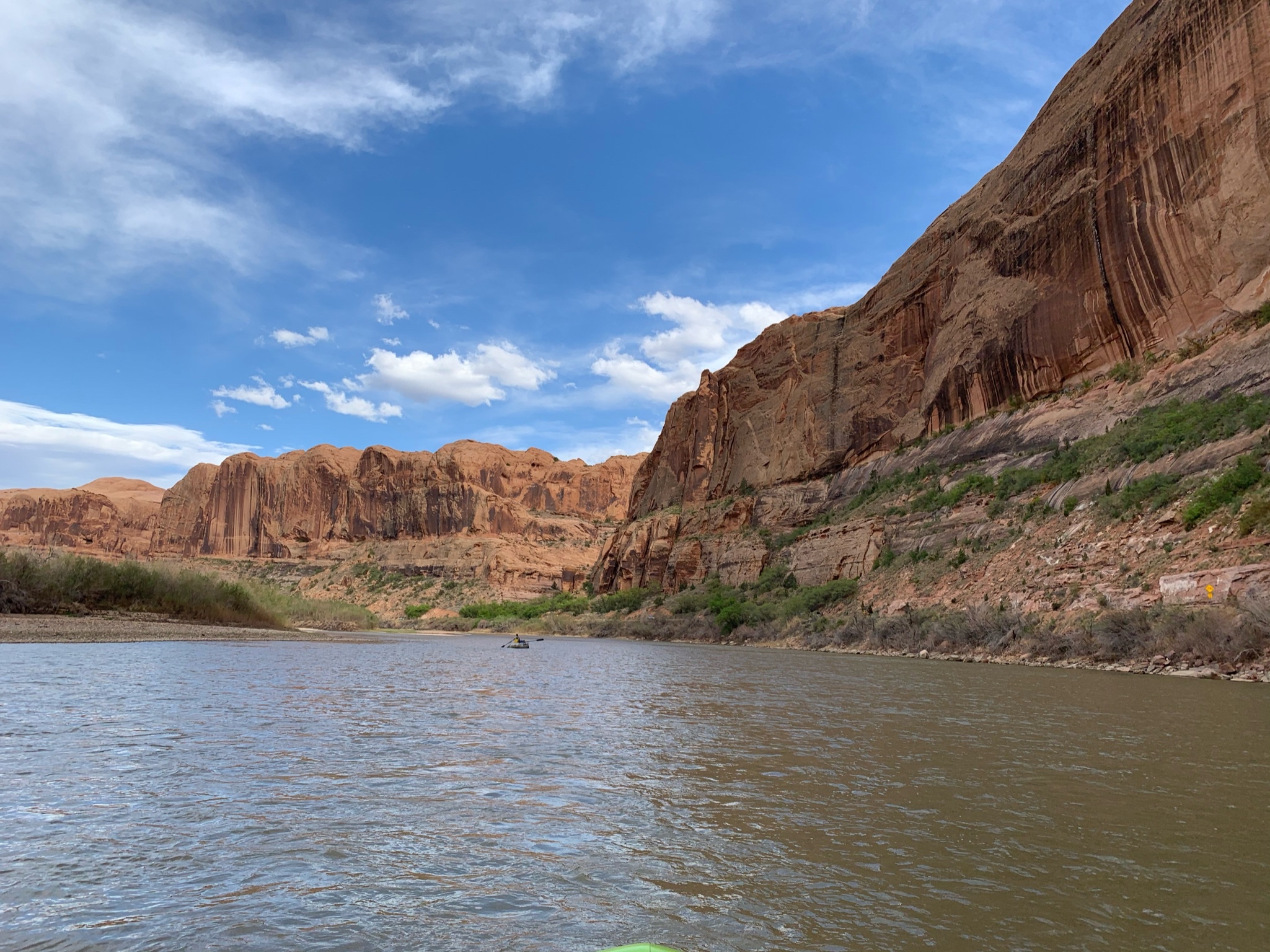
Colorado River through the Professor Valley can begin at the take-out for the popular Westwater Canyon run. The first 24 miles to Hittle Bottom are a mellow Class I float. Some come specifically for this sections while many bypass it by putting in at Hittle Bottom or Dewey Bridge at the Dolores confluence. For those who paddle this first section the absense of others and the presence of wildlife is notable from upstream or downstream.
While there's not any real action, a few whitewater rapids (class II/III), do break up the scenic float once you enter the Professor Valley past Hittle Bottom.
This 18 mile stretch in the middle of the run makes a good overnight trip.
It IS popular so don't expect to have the river to yourself and camping is restricted to designated sites with roadside ranger enforcement.
Boaters can continue their trip downstream to Cataract Canyon (Permit required past the Green River confluence) or take advantage of boating opportunities on the upstream sections of the Colorado or Dolores which come together just downstream of the Rose Ranch put-in:
07) Colorado River, Loma (CO) to Westwater, Horsethief and Ruby Canyon, 27 miles, I-II
08) Colorado River, Westwater to Cisco (Rose Ranch), Westwater Canyon, 17 miles, I-IV
1) Dolores River, Bradfield Launch to Dove Creek Pump Station, 19 miles, II-III
2) Dolores River, Dove Creek Pump Station to Slickrock, 28 miles, II-III+(IV)
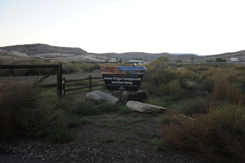
There is a large boat ramp on river left, downstream of the bridge.
A good take-out option before the slackwater that continues down to Moab.
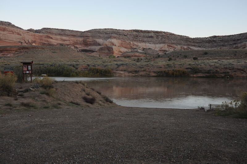
Access on river right just upstream and visible from the Highway 191 highway bridge.
Apr 23, 2026
This low flow is good to go. We did it a bit over 1,500 cfs. There's a channel and the views are amazing. To do this float, 3 miles, we do a bike shuttle. We drop all equipment off at the Grandstaff Campground. Park at the takeout off Hey. 191 and then use the bike path to get back up to the campground. Lash the bike on a paddleboard and we are ON our way. Weather was great too - pretty much had this entire stretch to ourselves. Did it 2 days in a row. Will definitely be back. One of the most majestic sections near Moab with easy access!
Nov 25, 2016
ran this 11/23/16 at ~3500cfs in a paddlecat from lower onion creek to takeout beach, took about 3 1/2 hours for this 11 mile stretch. mostly flat water, a few riffles and small wave trains, looks like one hole to avoid at higher water. a nice scenic float trip, saw a bald eagle and great blue heron, but no other people on the river.