Ferron Creek, lower
01. to Millsite Reservoir
| Difficulty | II-IV |
| Length | 2.8 mi |
| Avg Gradient | 72 fpm |
| Gauge | Ferron Creek (upper Station) Near Ferron, Ut |
| Flow Rate as of 58 minutes | 15 cfsbelow recommended |
| Reach Info Last Updated | July 9, 2017 |
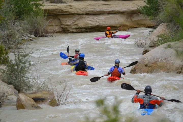
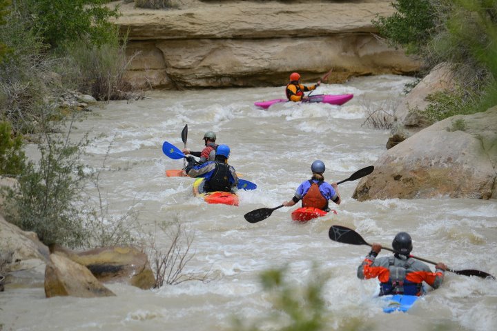
Another nice desert creek, worth doing if its over 300. Can be bank scouted a short walk from the road, like at the concrete dip in the road. Take a look for wood the first time down in the spring. A touch easier than Cottonwood Creek, but can still pack a punch at higher water, and, although its less forested than Huntington, wood will move after a high water event. IV- above 350.
Putting in as high as possible before the road turns away from the creek, at Stevens Creek on the map, is possible, but rarely done because there is usually riverwide wood, and comparatively flat water for the first 1.5 miles. Putting in at a paved bridge makes for a nice 2.4 mile run, and that is what is shown now on the map. Putting in at Stevens Creek would make the run 4.0 miles (measured on the road). You can run all the way down to the reservoir, but expect a more muddy, buggy takeout.

A massive undercut rock juts out from the left bank across half the river. Its not in a rapid, more of a scenic attraction, with some rock climbs across the creek as well.
After the sharp left turn, is a possible takeout if you want to keep the run to class 2+/3-. The rapids pick up after here.