Trip Reports
Log in to add a reportTA
Tony Allred
May 2, 2023
JC
Jason Caggiano
Sep 19, 2016
Has anyone run this since? How is the rest below the V section?
MM
Matt Muir
Oct 1, 2006
Bob, you can get map links in most river pages (including this one) by looking in the right-hand column. The maps are pretty bare-bones (usually just a TopoZone and a Tiger map), but you can use them (especially the Tiger map) to zoom out and locate the sik run you're lookin fer.
JS
Jay Seiler
Sep 29, 2006
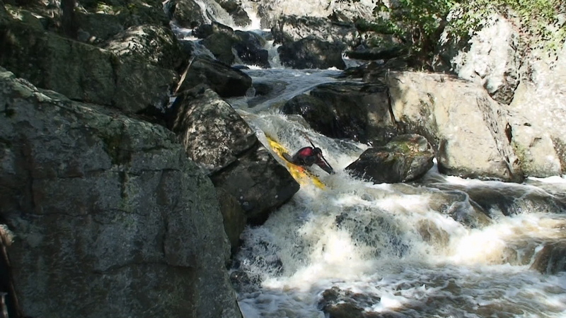
Pinned for a second and managed to free myself and bump down the rest of the run. needed a little more water...
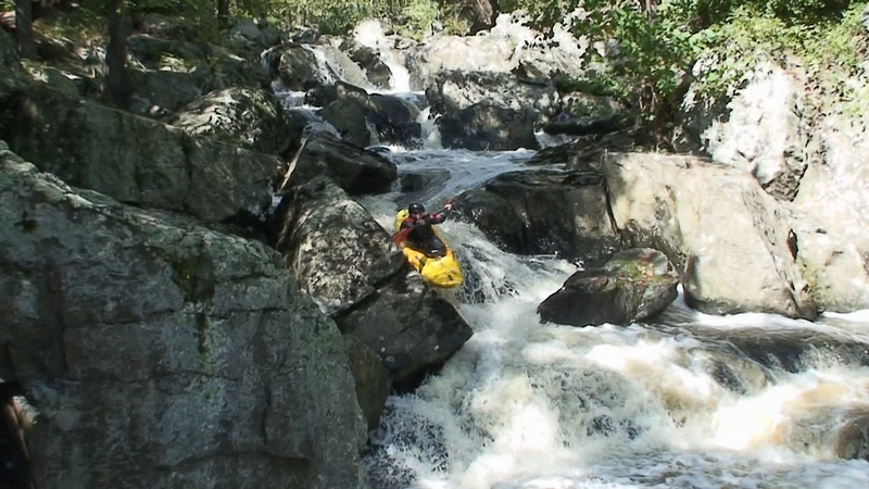
this is the bad place in Go Right- you can see why we called it that.
JS
Jay Seiler
Feb 2, 2006
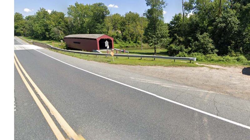
Its pretty easy to find on a Topo map. Roughly 30 minutes west of Wilmington DE. The gauge is right on Lums rd. from 272 South just off 95, its labled on the map as a gauging station, we check the level first and its a short drive up 272 north, maybe a mile or two from 95 to the put-in. You dont have to go to the gauging station if you dont want because the run doesnt require a shuttle, but its a good indicator of how much water you will have. I believe the covered bridge at the put-in is to the right on 272 parallel to the road when 272 crosses North East creek. The drop is hard to see from the road.
RS
Robert S. Farmer
Jan 29, 2006
Ok, but where is it?
JS
Jay Seiler
Jan 1, 1900
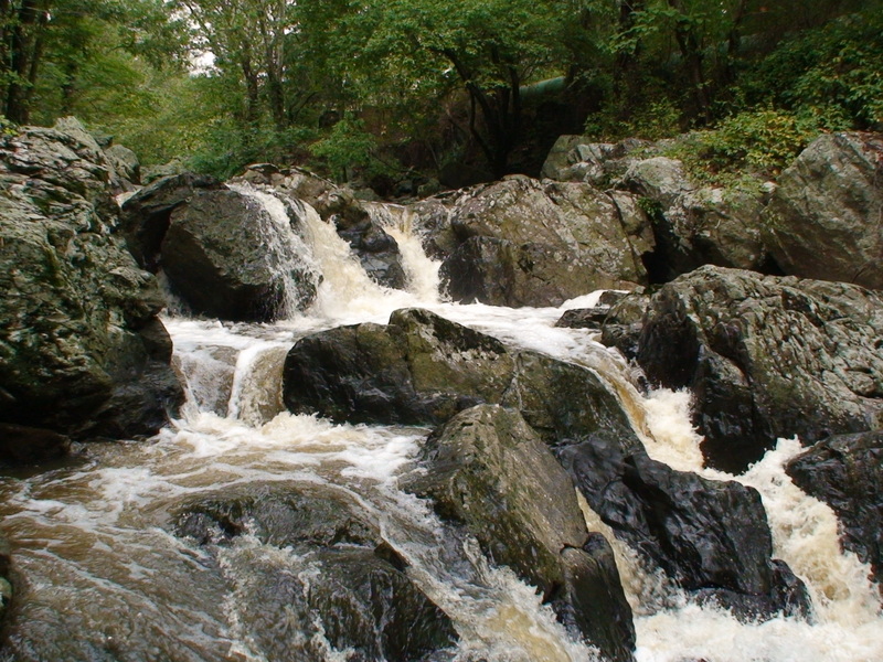
The rock at the top to the left in the picture is the wall. You would want to boof off the left corner with a little more water.
JS
Jay Seiler
Jan 1, 1900
about to eat it
WS
Walt Shank
Jan 1, 1900
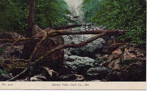
This is a post card I found on the web. I hope to have new pictures soon.