Logan
01. Ricks Springs to Preston Valley Campgroumd
| Difficulty | III-IV |
| Length | 8.7 mi |
| Avg Gradient | n/a |
| Gauge | Logan River Above State Dam, Near Logan, Ut |
| Flow Rate as of 1 hour | 83 cfsbelow recommended |
| Reach Info Last Updated | May 5, 2025 |
The Logan is an almost continuous wave train with only one or two rocks on the entire nine mile stream stretch. There are several intermittent stretches with larger waves and holes but with the exception of the 'White Mile,' the run is almost continuous Class-III whitewater. Outside of the rapids there are several low bridges which can pose a hazard for boaters. (2014 update: the low bridge on the upper Logan was raised a few years ago, and was limbo-able at 1300 cfs in 2011. Below Woodcamp, at flows above 1000 there may be 3 to 6 mandatory roll bridges, depending if you take out at Card or 3rd dam).
Low hanging branches are an additional hazard but are generally not a problem. This is a relatively narrow river, and trees have fallen riverwide across it. At high water, wood can move, and a road scout of Monolith is always a good idea, as it can collect wood. large logs are likely to move as the river reaches seasonal highs.
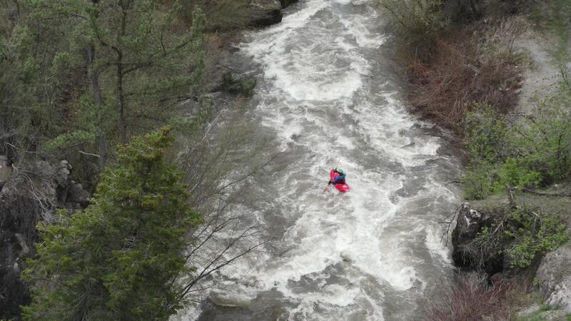
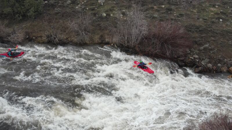
The first possible rapid of note is the large sliding drop and associated hole a few hundred yards below Ricks Spring, visible from the road. Depending on flow this can be an easy rapid or a exciting slide into a punchable hole. The other section of note is near the bottom of the run. The river picks up gradient for about a mile and some local boaters call it the 'White Mile', followed by Monolith rapid. This is the most difficult section of the Logan and could carry a class V rating at high water, particularly if you are swimming. There are a couple other interesting rapids before Woodcamp, which are hard to see from the road. As a roadside run the Logan has multiple access options.
Christopher Pajak added:
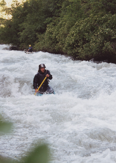
Another class II-III run is upstream (Red Banks section). A couple hundred yards below Ricks Spring, 'the slide' is fun and easy at almost any flow; the hole gets stickier but can always be punched. The 'white mile,' also known as the 'Logan Cave Rapid,' has a few XL holes at high water. Afterward there is a 50-yard
...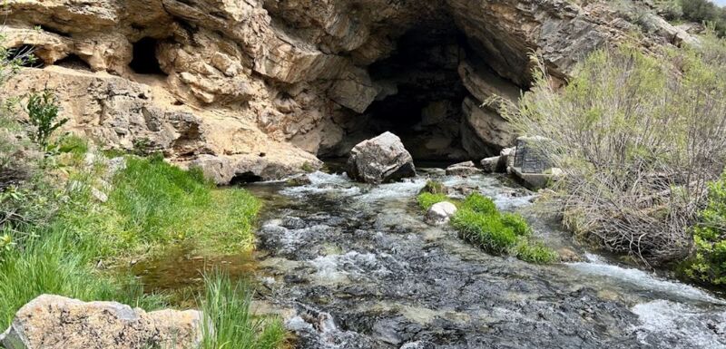
Ricks Springs, this is not really a spring, the water has been tested and is part of the actual river. The put in is just across the street from this picture.
This is a rock slide, The best line is typically on the left side where the water is the deepest.
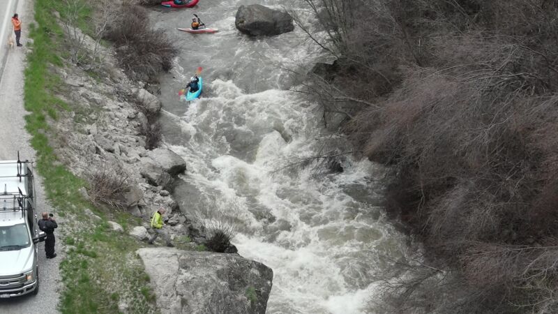
Monolith is marked by a large rock in the middle of the river. The best line is right side then center punching the hole at the bottom, the river then splits, the right channel is typically free of wood. There is a pull out on the road to scout as you drive up the canyon. Not much eddy service to scout. This area collects wood so use caution!
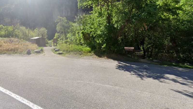
We use the Card pull out-campground as the main take out for the run. Typically a large eddy river right and several smaller eddies to grab.