Trip Reports
Log in to add a reportEC
Great float at 360 cfs - Evan Christensen
Apr 21, 2024
Beautiful spring day April 20, 2024. Air temp 50-70. Water temp about 55-60. Our float time from put in (about 3 miles in from Hwy 6) to Swasey beach was 6 hours. Fun rapids, lots of debris piles but nothing obstructing.
DC
The Great Price Daily Run - Daniel Cottam
May 11, 2023
We did the Price river daily run 5/8/23. The put in for this is at the end of the access road where it crosses the river. This cuts out lots of boogie water and around 12 miles of the trip. The road as of today was in great shape and almost anything could go down it. The run paddle time was 3 hours on the price and one hour on the green(it was running at 20000). Any stops for lunch or for other reasons would add to that. It was 74 and sunny and with a 3 mm wet suit that was perfect. In my opinion when the water gets higher the river gets easier. The one class IV would be a straight III at flows above 600 and all the rocks would be gone in long canyon. We did this on a monday and saw no one for the entire trip. This is a great trip to teach people about picking good lines on curves and to practice surfing on small waves and jumping in small eddys. As of today all the wood was gone in little big drop and believe or not you could run the right side now but it would be spicy. The left is much safer and easier.
OT
Obe Tejada
Mar 7, 2020
Ran from launch point 5.5 miles down stream of woodside to swasy's at 450-550 cfs on 4/20-22/19. We had one 9' and one 10.5' boat set up to row. Great trip!A few things of note.
There was plenty of water at this level for our boats. Though larger boats will have challenges with the narrow channel.
This is a very active section with near continuous class II to II+. Definitely not a beer drinking river. Also there are basically no eddys. We started calling it the raging ditch.
There is a rapid where long canyon dumps (about 17 mi from woodside) in that is worth taking a look at. Scout on the right. I would say class IV at the level we saw it. Is it long and steep with a lot of logs and some necessary moves.
The 'Little Big Drop' Rapid is about 2 miles upstream of the confluence with the Green River. It is preceded by a fun Class III rapid with a bunch of large boulders you will need to navigate around. After this the river makes a sharp turn to the left. A large boulder on river right with what looks like an entire cottonwood tree warped on it marks the entrance. Be ready to stop remember that eddys here are small and hard to hit. Scout on river left. The only run is a narrow shoot on the left. It can also be portaged on the left as well. Good luck and have fun!
DC
Daniel Cottam
May 19, 2019
At 500 cfs we ran the price from 4 miles in from woodside. There is a faint road just before a cattle guard that has a great put in spot. If you drive further up your going to miss some fun splashy rapids. It took us, to Swasey's take out, 8 and a half hours. We ran the Price in 6 and half hours with a stop for lunch and to scout the two biggest rapids. We averaged around four miles an hour on the slow parts at the start and the last half it picks up and we averaged six to 8. But we were in 2 sabertooths by aire and one culebra by Jacks plastic so not as fast as a kayak.
The river is really a 3 plus at this level. The two main rapids are both run to the far left and not as scary as they sound and I am not sure I would give them a four as the guidebooks say. However, there is a lot of wood in the river that you are constantly moving around all day long. But as of this posting nothing blocking the channel. That being said it might be worth scouting Long Canyon Rapid and Little Big Drop just to see if there is any wood in the main channels since you are a long ways from help and both are a tight squeeze.
I posted some photos of little big drop as there is a giant cottonwood tree on river right that you see coming around a bend. Once you see the tree get out on the left. If the drop scares you the portage is only 30 or 40 yards.
This was honestly one of the best runs I have ever done, fun, splashy and scenic. This should be a Utah Classic if it ran more often.
DC
Daniel Cottam
May 2, 2019
I am interested in the kml file. If you could please call me at 8014196072 or email me the file at 8014196072. I don't know how to get in touch with you otherwise
Thanks
Dan Cottam
?
Untitled
Jun 5, 2011
We ran this at a level around 795 CFS. Very fun overnight duckie trip, or a LONG day trip. The little big drop had quite a bit of wood reaching from river right to river center. Most of our group portaged, one ran the small squeeze on river left. Scout and portage are river left Very active, very fun trip. Most rocks were covered at this level.
OT
Obe Tejada
Jan 1, 1900
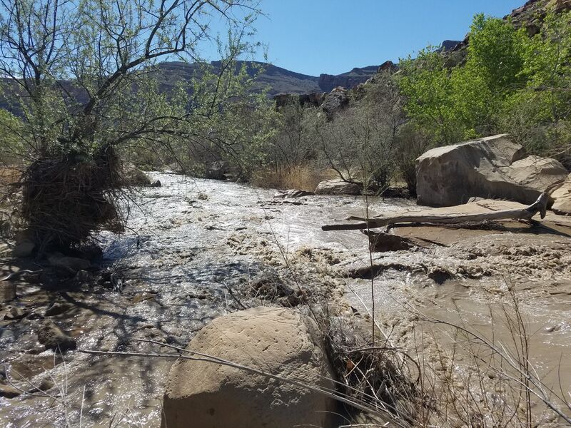
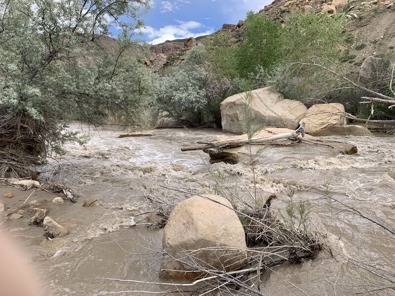
Looking up stream at Little Big Drops. We entered river left and went between the rocks in the center of the rapid.
DC
Daniel Cottam
Jan 1, 1900
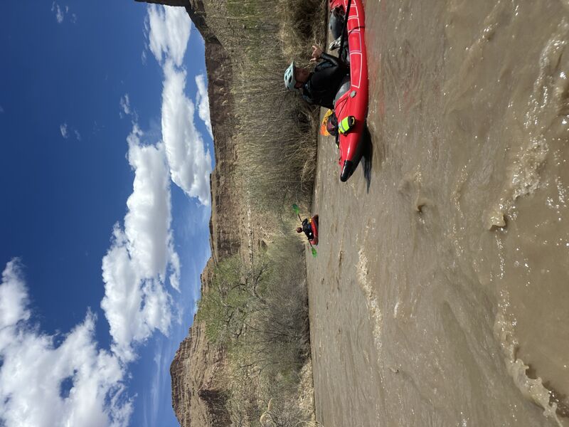
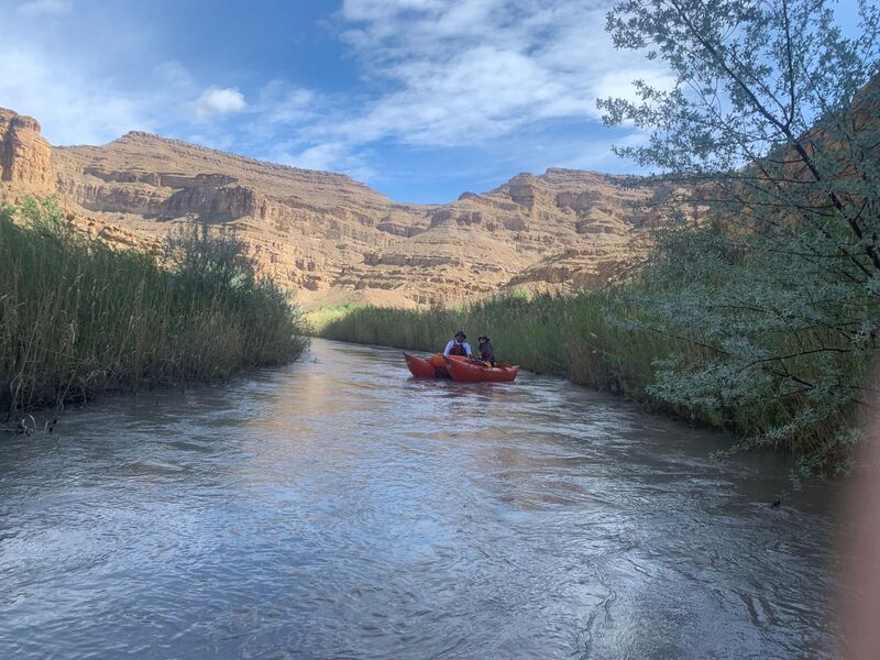
Lots of views like this everywhere
OT
Obe Tejada
Jan 1, 1900
Looking down stream at the entrance slot of the Little Big Drop
DC
Daniel Cottam
Jan 1, 1900
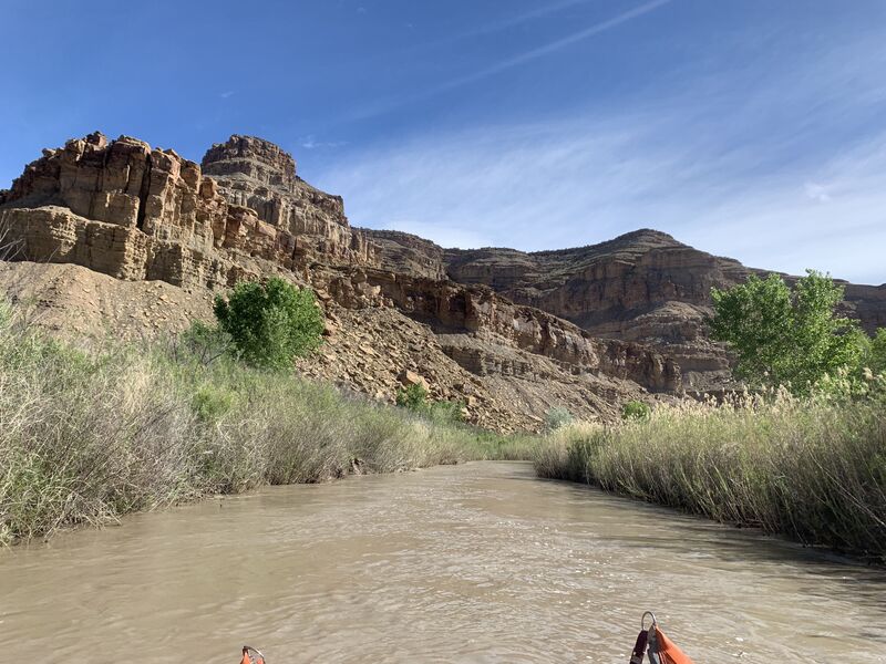
Views
DC
Daniel Cottam
Jan 1, 1900
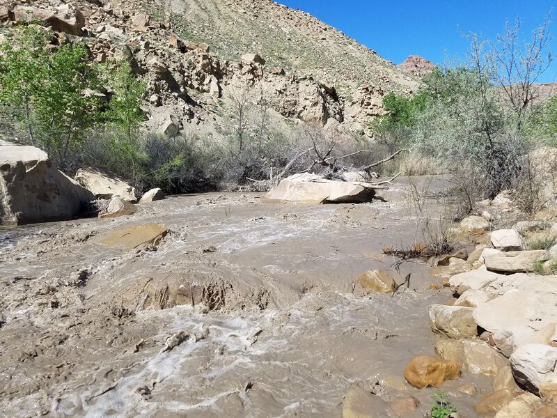
The hardest rapid, notice the large rocks and the Cottonwood tree on the right
OT
Obe Tejada
Jan 1, 1900
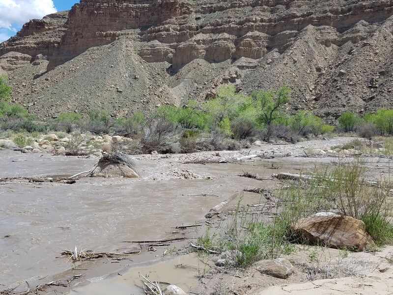
Looking down stream at Long Canyon Rapid
OT
Obe Tejada
Jan 1, 1900
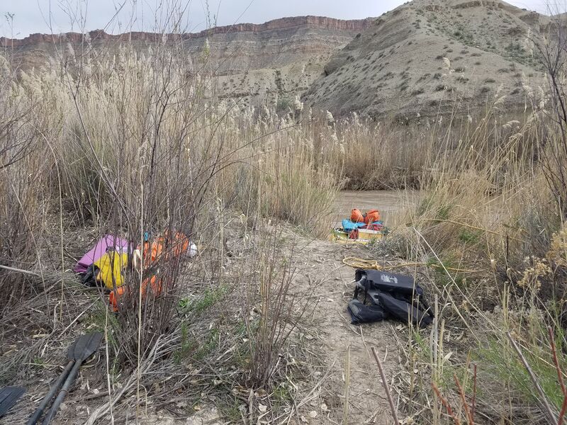
Launch 5.5 miles down stream from Woodside