Back Creek (Jackson trib)
1. Bath County Pumped Storage Facility (Rt. 600) to Mountain Grove (Rt. 39)
Mar 29, 2012
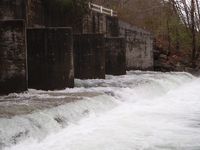
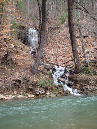
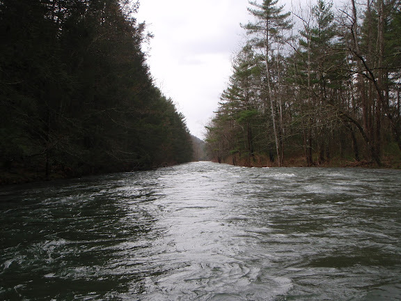
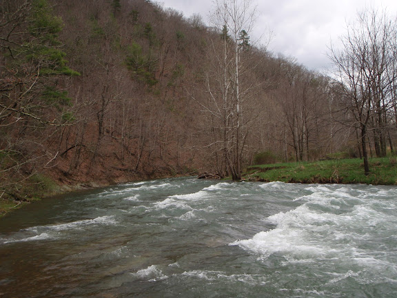
Upper Back Creek can be run from the bridge with culverts off of Rt. 600, about 6 miles above the Hwy. 39 turnoff, down to the confluence with Little Back Creek with potential parking at the Mountain Grove Community Center on Hwy. 39. This stretch has the occasional class 2, with a 2+ not far above Hwy. 39 where the creek takes a 90 degree left (away from the road) and then goes over a ledge. At higher levels there is a hole/breaking wave across most of the creek, with a sneak on the left. If driving the shuttle going upstream along Rt. 600, this is just past the electrical substation. There is also a USGS gauge on this section (eliminating flow from Little Back Creek) called Back Creek near Sunrise. Photos were taken at 450 cfs on Sunrise, 1200 cfs on Mountain Grove.