Cedar Creek
3. Middle Rd. (VA Route 628) to US Route 11(Lower Cedar Creek)
May 1, 2011
| Reporter | Bill Lewis |
Recent trip (April 15th 2011) comments. We put in at the Route 623 low water bridge (10-12 miles above Route 11 wayside in two wavesport diesel kayaks. The level at the Route 11 wayside was a little over ½ ft on the painted gage on the north piling of the southbound lane. You have to walk under the bridge and look at the piling on the upstream side to see the gage. The gage is painted too high as there was plenty of water and even if the level was down another 6 inches there probably would have been enough water. There is also another painted gage on the south piling of the same bridge but one out of wack gage is confusing enough so I ignored the other.
From the low water bridge to the 1st highway bridge is primarily riffles with some swift water in-between. Nothing in this above class 1. This entire section is a good section for novices to get some moving water experience and it is a pretty float. Just before the 1st highway bridge is a logjam (noted in another comment) but I believe it has been substantially reduced from the time of the previous comment. We did not have to portage as we weaved through a narrow gap on the extreme left. The water is deep here and has current so be cautious.
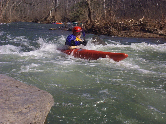
Below the 1st highway bridge there are mild class 2 rapids periodically with a mix of swift and a few sections of flat water thrown in. Some of the rapids are delightful at this level and there are opportunities for practicing eddy turns and ferrying. Nothing struck me as more than mid class 2. Two rapids of note; one where the creek swings mildly R-L-R with a high eroded bank on the left (his is a nice wavetrain that is enjoyable), the second is a right turn with two large boulders on the outside edge but they sit into the center of the flow. Someone with poor boat control could pile into the one farthest out.
Eventually you will pass under a second highway bridge and after the second substantial cleared path powerline (that I remember) you will be getting close a defunct low water bridge. The approach is slow flat water so it should not surprise you. This bridge has so much debris piled on it. It took me a minute to recognize it. 25+ years ago we use to go underneath the bridge. At this level there was one possible run through the middle over a spot where the bridge had collapsed and formed a V trough. Most of the flow piled through a breech on the far right side of the bridge. This is a vigorous drop with a chunk of concrete sitting in the main flow with its downstream edge propped up. I did not run either of these but at this level the far right looked to be a strong class 2. Since I didn’t run it I don’t want to comment too much but its nature is above all of the other rapids to this point in the run. Rebar makes me nervous so we portaged river left. My advice is to always approach this old bridge cautiously as the debris could shift and change the conditions.
After the defunct bridge the nature of the stream changes for a short distance. The rapids are closer and slightly stronger than above but still class 2. A short distance below the defunct bridge is a river wide ledge that had a sticky hydraulic. Again someone with poor boat control or just not paying attention could be surprised and flip. After the ledge, on a fast water left turn are two boulders splitting the stream into small thirds. I’ve seen a canoe wrapped on the first boulder from the left. Again, only class 2 but it comes up quickly after the ledge. Soon you’ll see the railroad trestle and then some caves on river left. From here the rapids drop back to class 1-ish.
All the way down this stream you should be vigilant for trees(strainers) in the water. On this day we did not find any river wide strainers but there were some sticking out a third of the way into the streambed. One old cedar (I believe below the defunct bridge) messes up a fun river right drop. This is at a spot where the river splits through an island.
The trip took us 4.5 hours at this level but we did not stop for rapid play or exploring anything. Much of the land is posted and we really just wanted to check the stream out for bringing some other new boaters along. I highly recommend this run for novices and patient higher skilled boaters. Additionally the Virginia Bluebells and wildlife were plentiful and beautiful.