Cedar Creek
3. Middle Rd. (VA Route 628) to US Route 11(Lower Cedar Creek)
October 3, 2024
| Reporter | Tony Allred |
| Gauge Reading | 420 cfs at CEDAR CREEK NEAR WINCHESTER, VA |
| Flow | Medium Runnable |
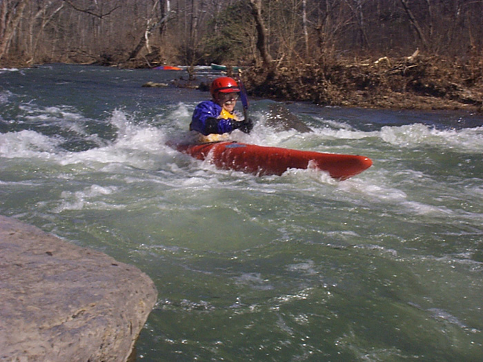
Tim Tilson: The force was in balance today on Cedar Creek. Many of us had not been on the creek in years, in my case it had been 11. So it was almost like a new run. In K1s we had Wayne M, Virginia (aka Ginny) del Rosario and Tony Allred. It was good to see the last two whom we haven’t see for a while. In OC1s we had Ginny and Gary Q, and yours truly (Tim Tilson) the trip leader. The water level was around 420 cfs. We put in at Minebank Rd and took out at Rte. 11 (about 5.2 miles). There are issues with both these points that I will discuss at length in a post to Paddle Prattle in the next few days. The trip was uneventful. We stopped at Panther Cave. No Panthers were seen but Gary reported Brontosaurus tracks. Special thanks to Hendrik Van Oss who warned me about the low water bridge and the correct route. The day started off overcast but ended up with plenty of sunshine, glorious blue skies and a temperature in the mid-70s.