Feather, N. Fork
1) Caribou to East Branch Confluence(Caribou)
Nov 10, 2024
950cfs
=============================
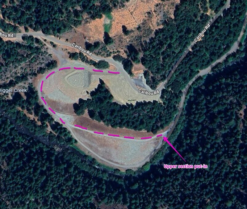
Upper Section: Coordinates for the put-in are 40.0703453800481, -121.16588727684635.
At the put-in, just below the dam, a rope spans the entire width of the river. Launching just above it can feel a bit unnerving, as it hangs fairly low, but it’s manageable. Consider having someone temporarily lift or remove the rope before crossing.
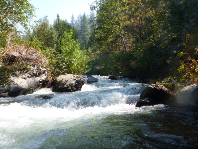
The upper section (about the first 4.5 miles) is probably a Class IV, with very few eddies along the way. While there are plenty of trees in the river, they’re all visible from a distance. The first two miles mostly feature large continuous wave trains, after which the channel narrows, requiring more precise maneuvering to dodge holes at high speed.
=============================
Lower Section (about 3 miles from take-out): Just after crossing the bridge, take a sharp left at the bridge’s end. There’s a daytime parking area in the trees at this location: 40.04687898839404, -121.21730836259634. This parking area is a bit steep to drive into, we made it with Subarus. You could also just park at the pull out on the road after crossing the bridge.
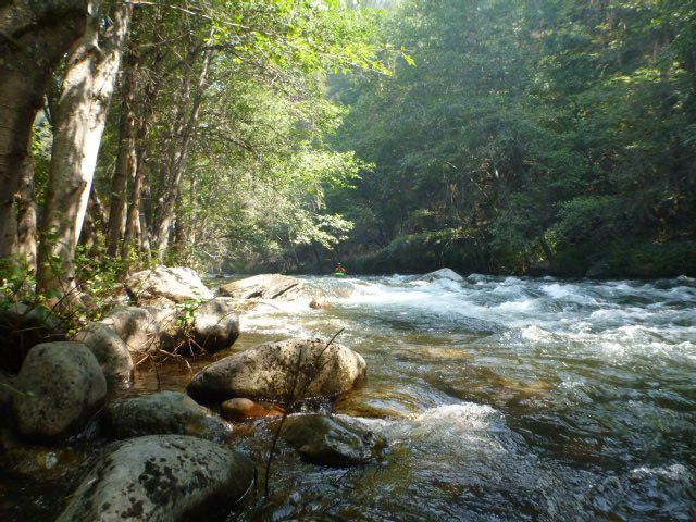
The lower section is less continuous but still engaging. At about half a mile before the take-out, there are two strainers right after another. The first spans nearly the entire river width, with an opening on the right side. The second strainer follows immediately after on the river right side. A hard ferry left after passing the first strainer is needed to dodge the second strainer.
=============================
with Sophie, Noelle, Spin, Mark, Lucas, Renee, Scott(s)
May 20, 2019
Note - all of these pictures are before the Dixie Fire. While the run is not as pretty, it has cleaned up.
Jun 2, 2018
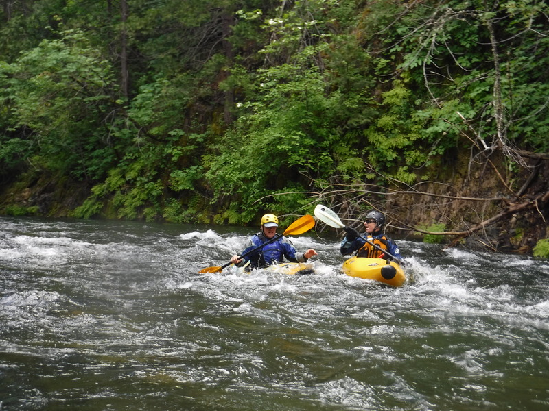
This is a very good flow level. Everything is covered. Punchy but not out of control.
May 29, 2018
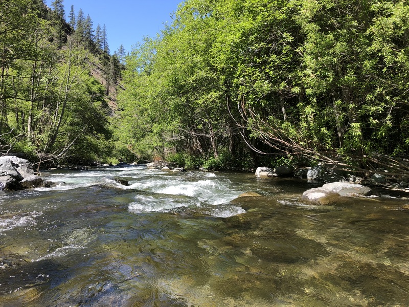
Great run at 420 CFS. Not as bumpy / boney as you might think. Note: last 1.5 miles is a just class 2 continuous.
May 27, 2018
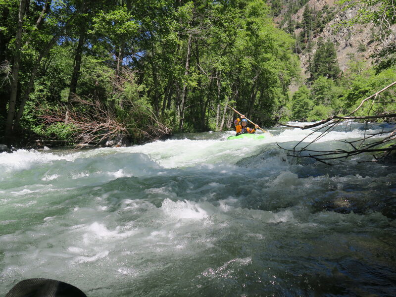
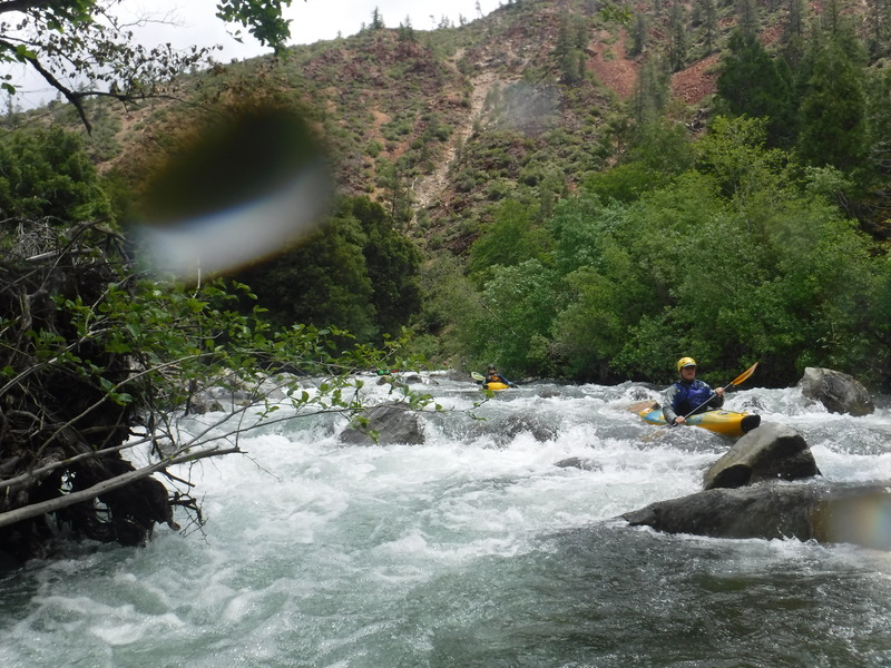
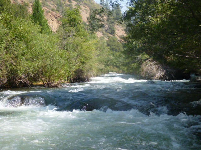
One of the many long class III rapids on the Belden reach of the NF Feather
May 27, 2018
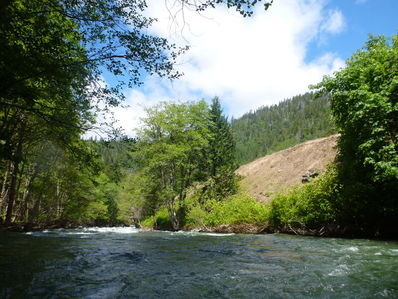
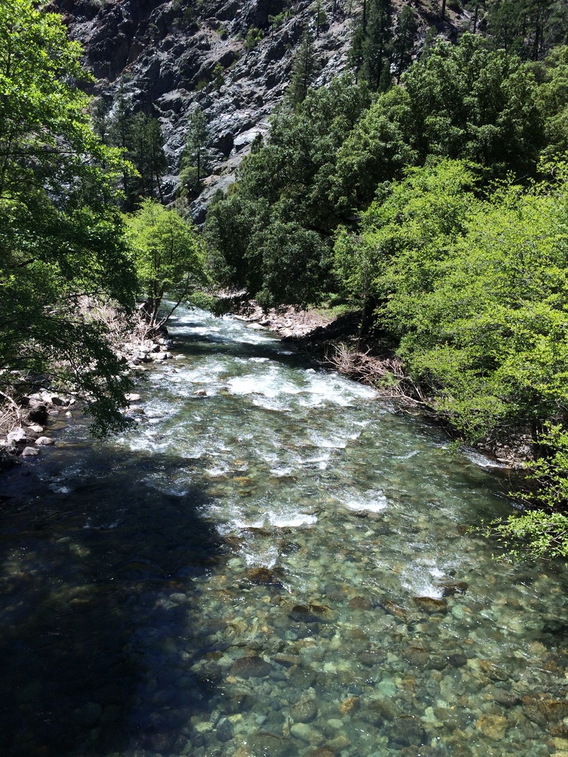
The top of this run feels very much like you are in Oregon or Washington. It is the southern most river in the Cascade Range
May 27, 2018
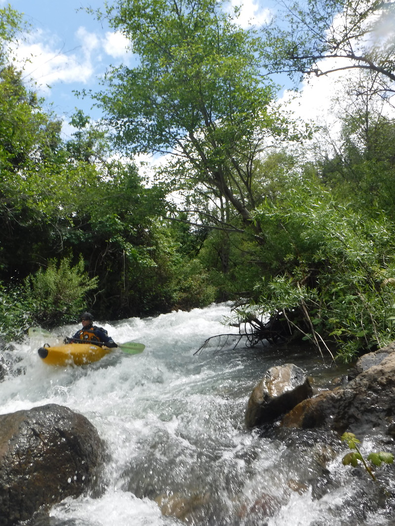
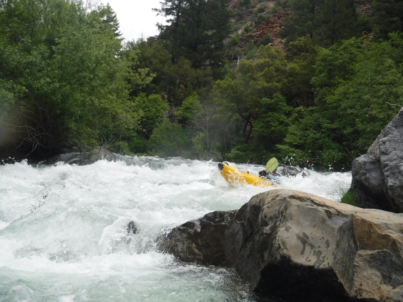
This rapid has cleaned up but is still tight. This is exiting the right side.
May 23, 2018
Below Queen Lilly Bridge post 2017
May 23, 2018
This run had considerable veg encroachment before 2017. Much of this was cleaned out due to high water, combined with a powerhouse outage.
May 23, 2018
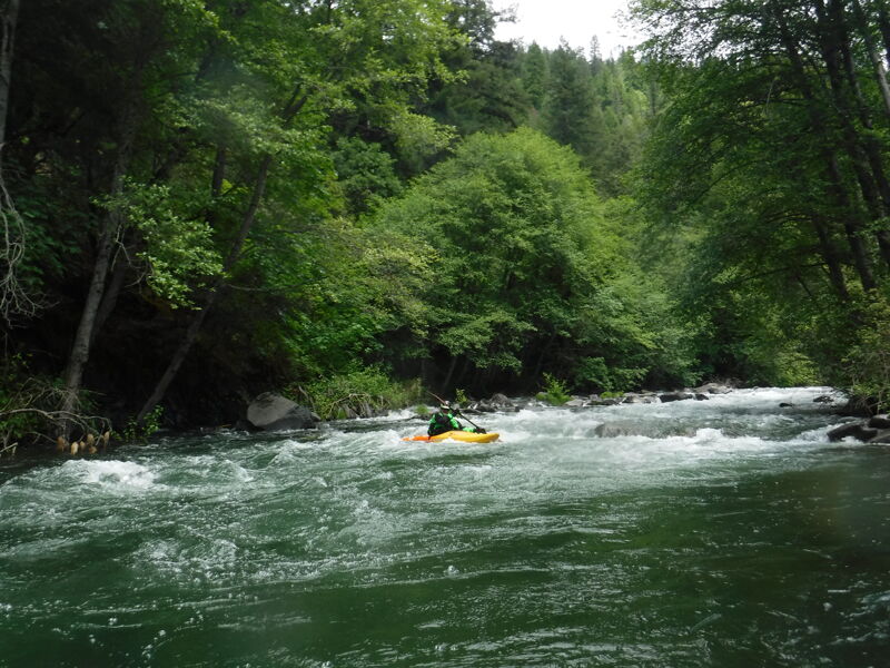
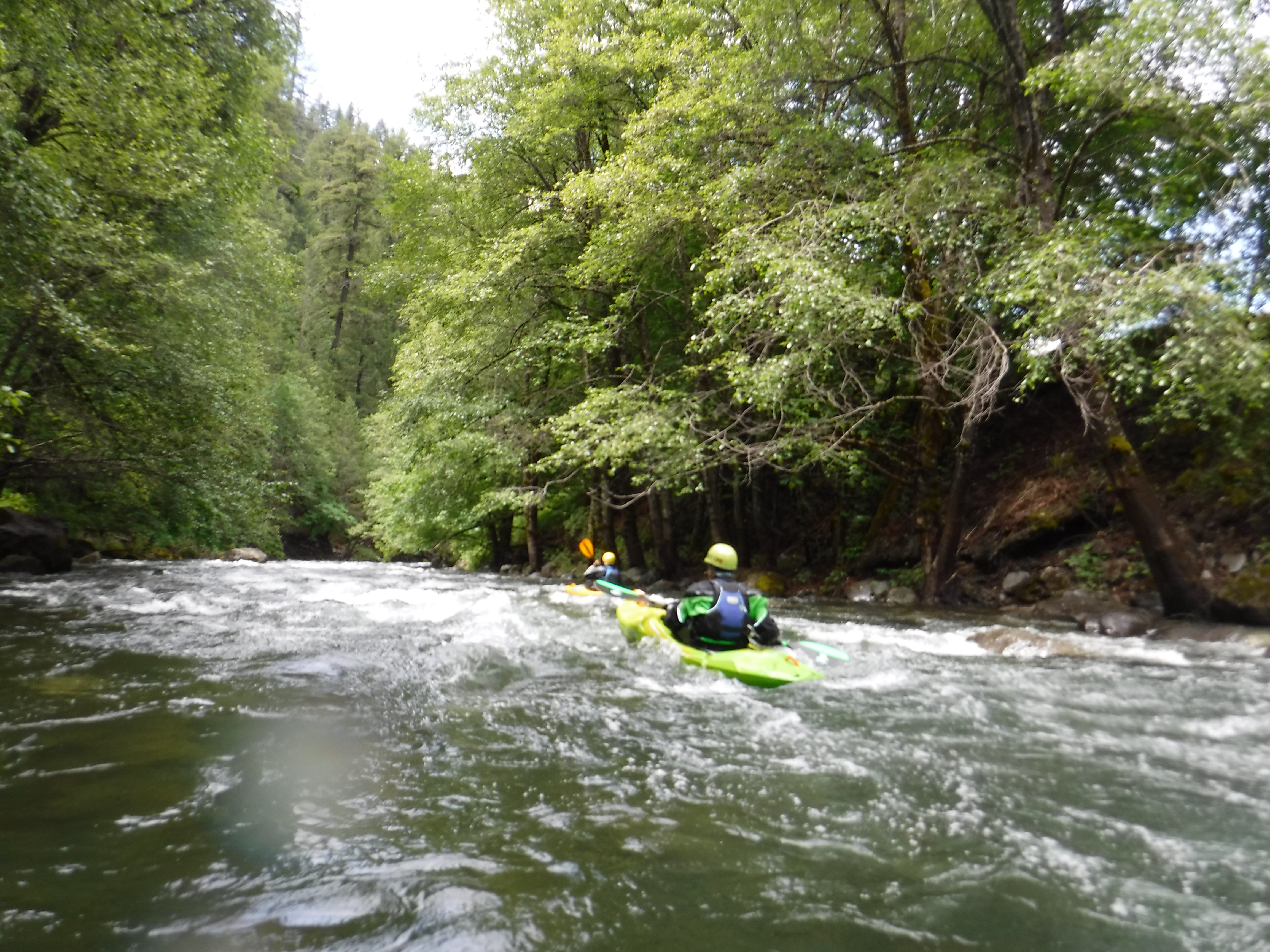
Long Rapid with many holes. Nothing terminal but stay on your toes.
Sep 2, 2012
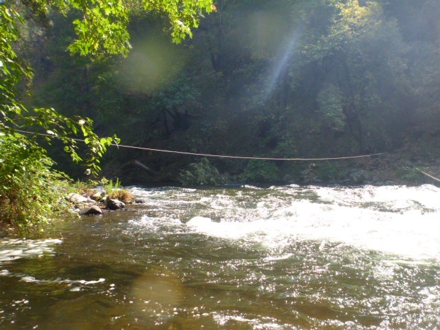
Miner has a cable across the river. Usually plenty of room underneath, but approach with caution.
Sep 2, 2012
One of the bigger rapids on the run. Just up stream of the Queen Lilly bridge. Shoots you our like a Pumpkin Seed.
Sep 2, 2012
Bramble Rapid. Before 2017, Blackberrys and Alders made this rapid a real challenge.
Sep 2, 2012
This is the Belden Reach along Caribou Road. Not to be confused with the run above Belden Town on the East Branch Feather.
Jul 28, 2007
Site visit by the Hydropower Reform Coalition to Belden Dam.