Rappahannock
1. Route 647 (near confluence with Jordan R.) to Route 211(Upper Rappahannock)
Jun 25, 2018
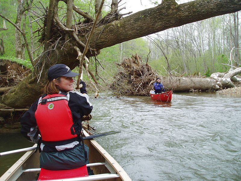
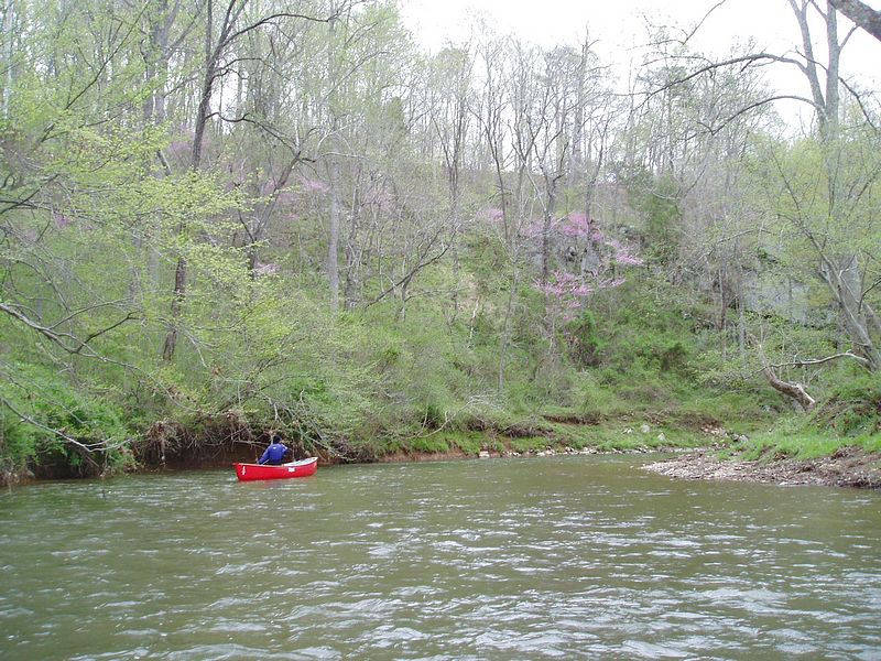
We did this run today when the online Remington gauge was around 8.25 feet. The painted gauge on the bridge on route 647 was 1.8 feet, so squarely in Grove (1992)'s range of 1-3 feet. We ran from 645 down to 211. The first few miles were pretty fast with several trees to avoid. We only had to carry around one though. There was only one rapid of note, an S turn with a hole at the bottom. It was a little high for my preference for a tandem open canoe because of the trees. But it would have been fine in a kayak.