Roanoke, North Fork
Riverside Church (Route 603) to Roanoke River (Route 727)
March 4, 2012
| Reporter |
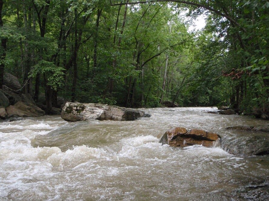
I've run it many times. It's a beautiful run through sparsely habited woods. You'll need three days of solid rain for the water level to be high enough. As of Aug. 3, there hasn't been one runnable day in 2010. If you live in Roanoke/Salem, you can check the river level at W. Riverside Dr. across from the James Moyer Sports Complex in Salem. Usually the river only occupies the far 1/3rd of the channel with the near 2/3rds being mud and rocks. If the river fills the whole channel, you're probably good to go. If you can make it through the rock gardens along State Rt 603 (N. Fork Rd.), then its running. Be careful at Seneca falls, there may be a pinning rock dead center.
I drove along 603 today between Falls Ridge Rd and Blacksburg, and was surprised to see a landowner's fence through the river/creek. Watch out for it- major strainer.