Grindstone Creek
Grindstone/Long Point Road to Road 306

| Difficulty | III+(V) |
| Length | 12 mi |
| Avg Gradient | 45 fpm |
| Gauge | Black Butte |
| Flow Rate as of 21 days | 311 cfsstale data |
| Reach Info Last Updated | November 18, 2023 |
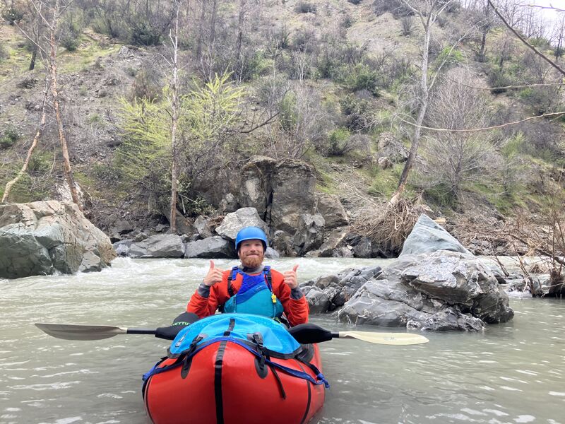
Perhaps due to reports from Bill Tuthill and very few others who ran this in the 1990-2000s, seems that very few paddlers have run Grindstone Creek since, mostly because of the reported need for a 4WD vehicle to reach the put-in. Looking into the canyon from Alder Springs Road certainly reveals an impressive canyon, made more remote-feeling by access roads and trails eroded by wildfires and ensuing runoff. Luckily for packrafters and other intrepid explorers, that means this is a relatively remote gem worth checking out, as Ted Couch and I can now attest after an April 2023 run.
The put-in road is totally drivable for a 2WD with good clearance up to a certain point (39.70421, -122.70840) where the Mendocino National Forest have installed a berm to prevent further vehicular access – the erosion from this point forward is bad enough that not even an OHV or mountain bike could pass. We confirmed this with a MNF patrol officer later in the day who thought we were tweakers. He confirmed that the chainsaw clearances up to that point were done by an unknown steward/criminal (ha) and that he's never heard of anyone paddling the creek (!)
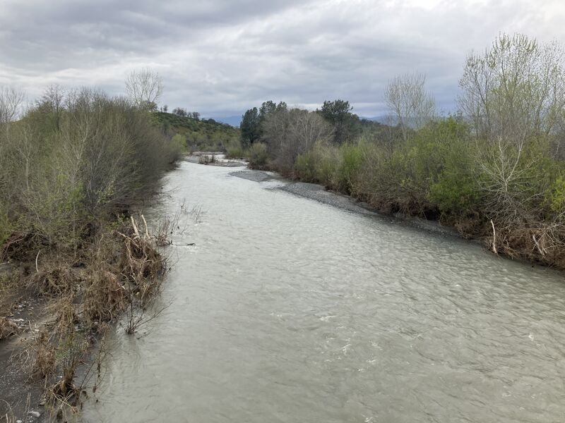
The shuttle is otherwise very simple and paved all the way til you reach Grindstone/Long Point Road (Forest Road 21N65). There is ample parking at the takeout.
The hike-in along what remains of 21N65 is about 2.25mi long and takes its time to get down to the creek. Unfortunately, the road has totally eroded once you're about 150-200' above the river, and we had to scramble down a steep hillside to put on. Luckily we found a grassy incline with some trees to hang onto (and no poison oak), but I wouldn't recommend this for a hardsheller or rafter.
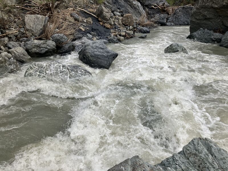
For all the work, the paddling itself is pretty great! It has a similar Central Valley feel like Bear, Putah, or Cache Creek, and the end feels like MF Cottonwood – and it's better paddling than most of those. The first 5mi are the best, with plenty of splashy II-III, pret
...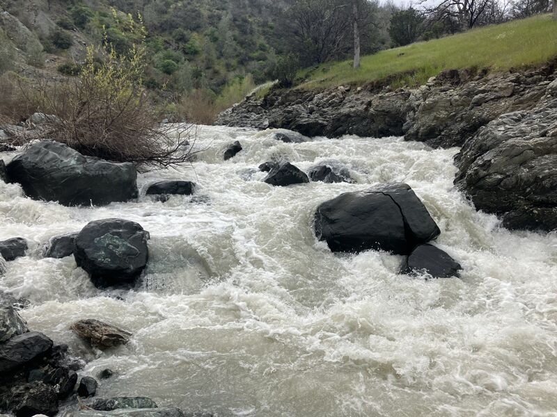
Scout/portage on the right. Line is generally starting left and S turning if you were to run it. May be a sneak line in the center for hardshells.