Clyde
5 Mile Square Rd to Clyde Road
| Difficulty | II-III(V) |
| Length | 23 mi |
| Avg Gradient | n/a |
| Gauge | Clyde River at Newport, Vt |
| Flow Rate as of 45 minutes | 230 cfsbelow recommended |
| Reach Info Last Updated | July 27, 2024 |
Put in and Take out show the furthest runnable extent of the river.
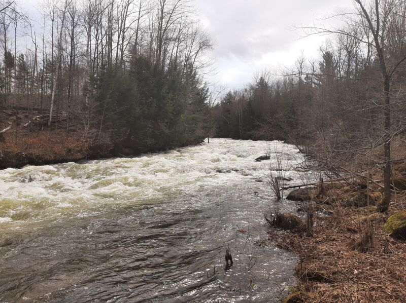
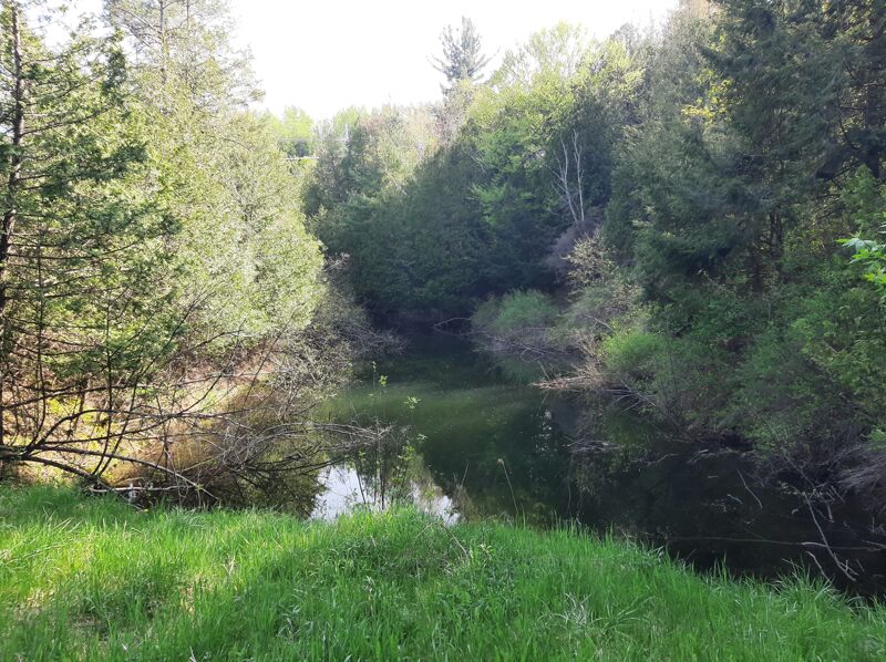
There are a few ponds with flatwater between so choose your section carefully. Mostly this run is a mellow winding river, but there are also some large dams and drops. These are completely avoidable by choosing an appopriate put in and takeout.
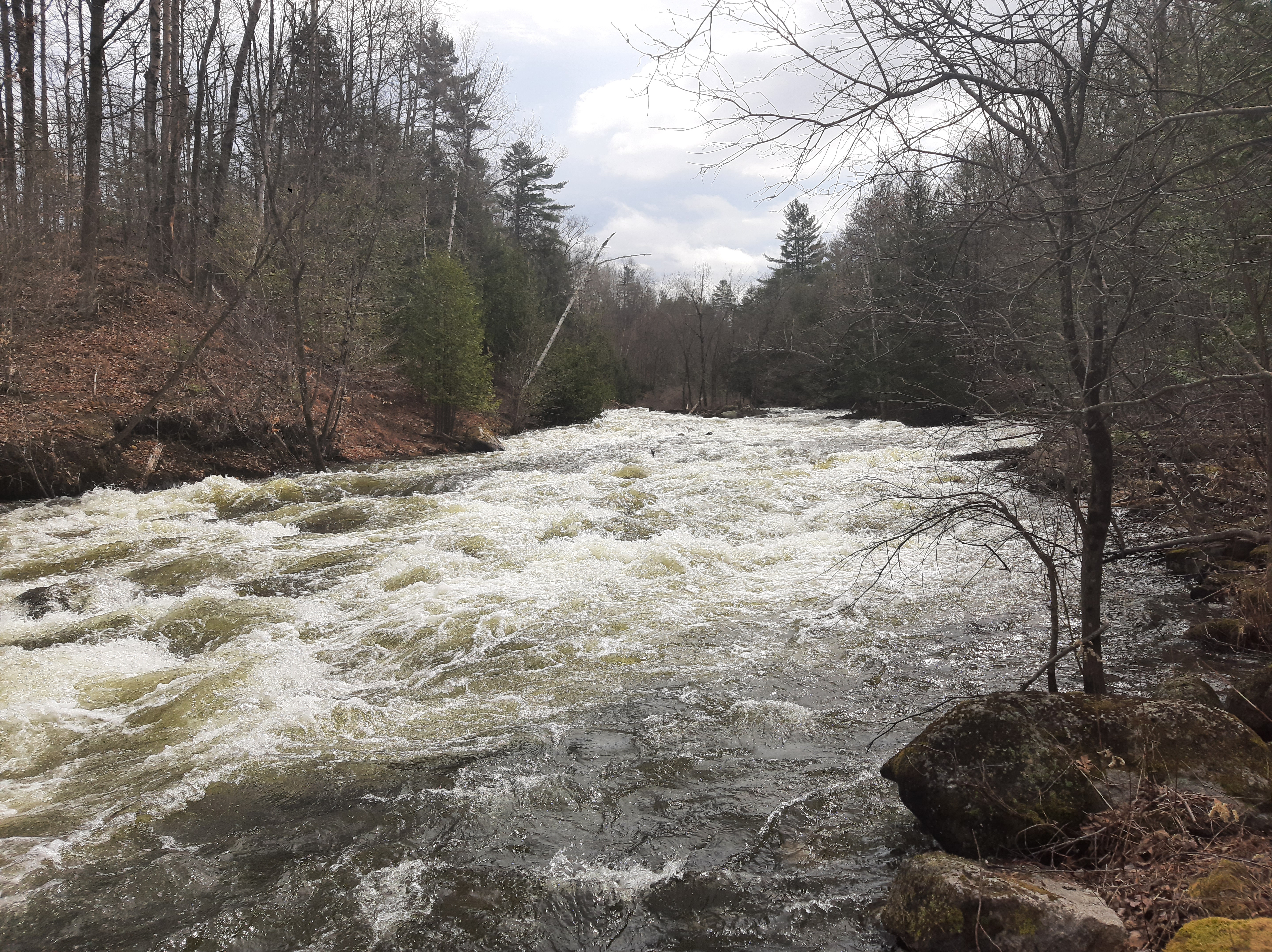
Class III-IV 1/3 miles
There is a drop behind the West Charlston Post Office. This is the start of a short section with a few significant drops. (Durgin Rd to Fontaine Road.) There is also a gorge under Pensioner pond (Big Falls).
Class I-II section 3 miles
Between Main street Derby Center and Crawford farm road there is a easy Class I-II section. You could also put in at hayward hollow road. it will add couple rapids to your trip, but also a long flat section on lake Salem. Watch for trees.
Class V-VI 1/3 miles
There is what seems to be a significant, maybe unrunnable gorge below the Crawford Road bridge at the outflow of Clyde Pond.
Class II-III section 3/4miles
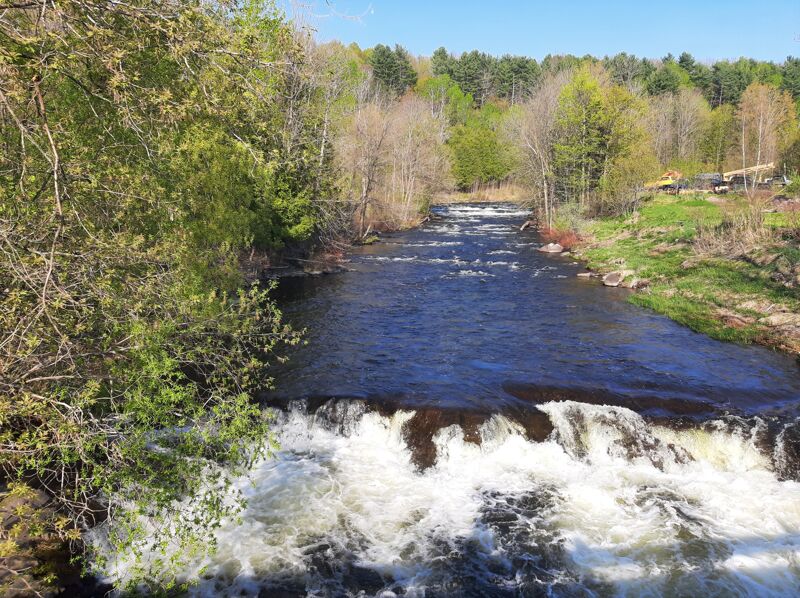
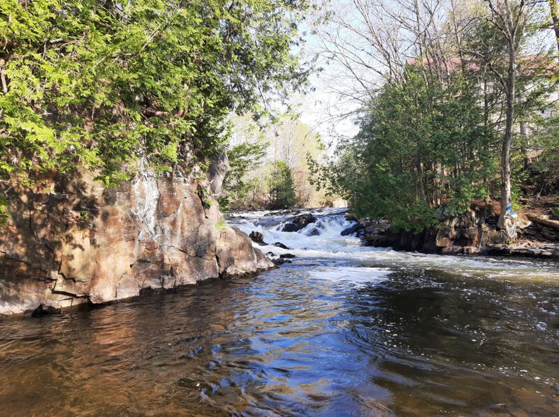
Just below the gorge at the power plant there is a nice 3/4 mile class II-III section that keeps good flows for a while after a big rain. There is mutiple feature (a ledge, lots of eddy, holes and a surf wave between 500 cfs and 750 cfs). You can use an old power canal full of water to paddle back up the section.(Take out at the clyde street/Hill street junction).The river end in Newport a mile downstream
Putinupstreamofthebridge.Thisrapidisdownstreamoftheputin
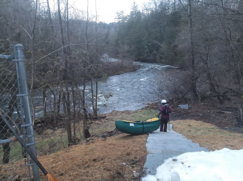
Put in for a class I-II section. Steep trail on the upper side of the bridge.
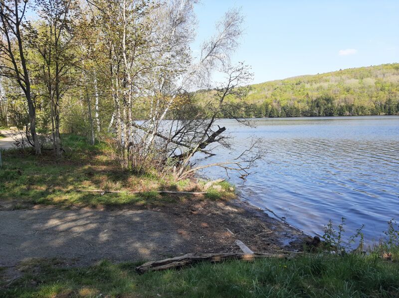
Take out at the Clyde lake access park
Access for class II-III rapids.
Use the old power canal to paddle back up and laps the rapids again
Small pullout parking and takeout right at Clyde street/Hill street junction. There is another parking at Citizens Utilities Road and at Western Ave
Jul 20, 2024
630cfs
SUP and kayak multiple time the section below the powerplant. The flow was a bit low for a paddle board but it was ok for kayaking. The wave under the pedestrian bridge was in at that flow. There is a big sweeper right after the put in. Portage river left.
Jul 14, 2023
700 cfs
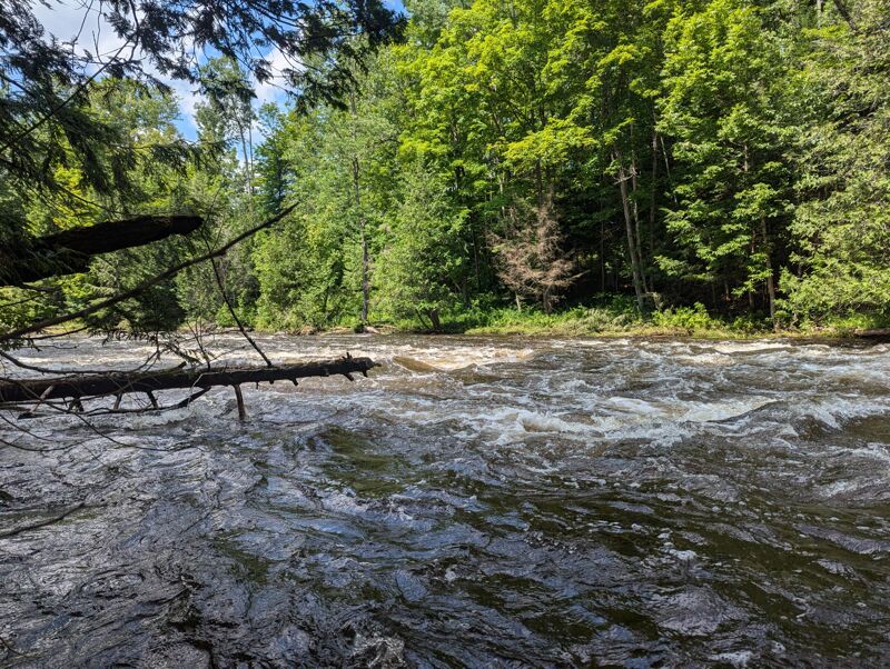
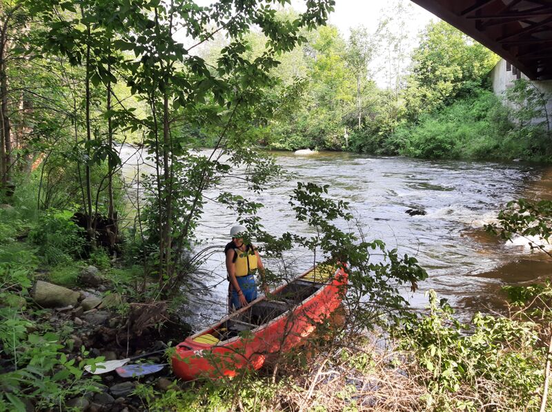
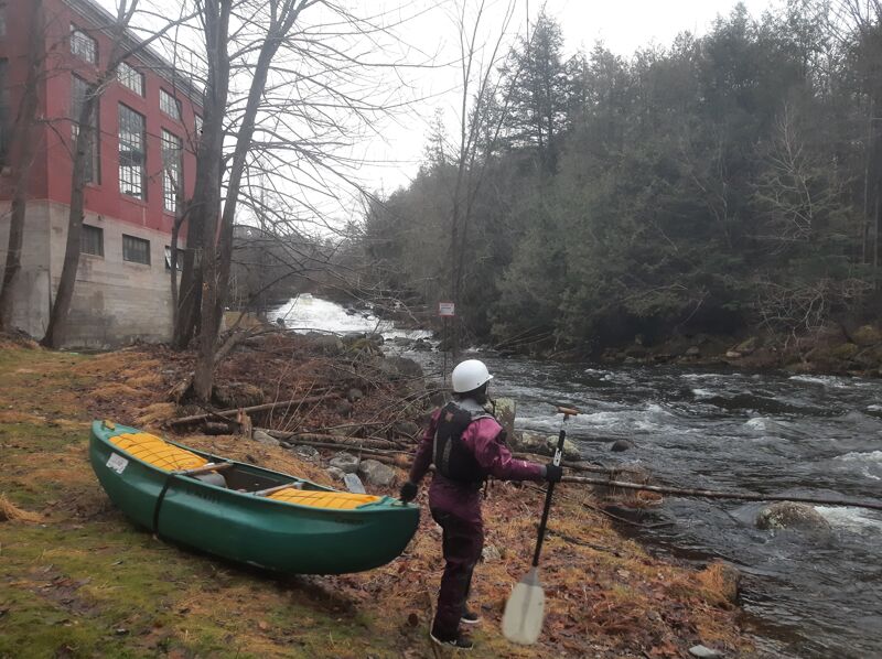
Paddle the section in a tandem canoe from 5 mile road. Good flow. We have to make sure to avoid some fallen trees. Feel seclude even if that's close to civilization.
May 12, 2023
400 CFS