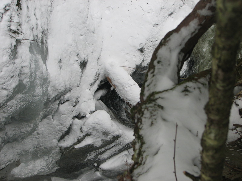
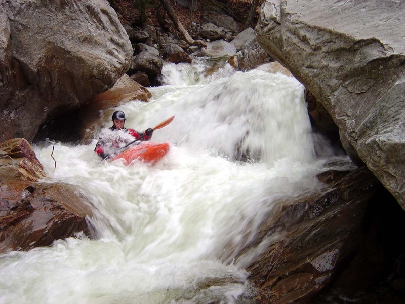
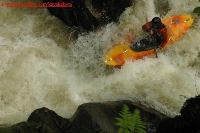
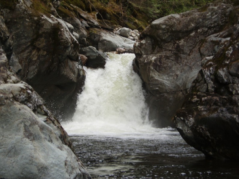
Middlebury River
Ripton to E. Middlebury
| Difficulty | V |
| Length | 2.7 mi |
| Avg Gradient | 200 fpm |
| Gauge | Otter Creek at Middlebury, Vt |
| Flow Rate as of 43 minutes | 458 cfs |
| Reach Info Last Updated | May 6, 2018 |
Source: Greg and Sue Hanlon's Steep Creeks of New England, which has more info on this run. Text used with permission.
Directions: The putin is just west of Ripton, downstream of where Rte. 125 crosses the river.
To takeout: drive about 2.5 miles West on Rte. 125 toward Middlebury. The first bridge across the river is the takeout.
The following info was posted by Fred Coriell on 03-11-02
We have been paddling the lower half of the run, which still has some of the best whitewater in the state. To access this park at the second pull out on the left side of the road when heading up from the East Middlebury bridge. Walk back down the road 1/4 mile, about 80 yards past the 40mph sign. Dive into the woods and pick your way down the steep bank. It requires lowering boats two different times, but is well worth the effort.
Apr 22, 2014
Please be advised that VTrans is replacing the Sand Hill Bridge on Route 125 in East Middlebury over the Middlebury River. Construction will take place over next 45 days, 24 hours/day. There is the potential for debris to fall from the project during demolition and construction, in addition heavy machinery will be in operation in the direct vicinity of the bridge along VTrans right of way.
Please be advised that VTrans is warning all recreational users of the Middlebury River to avoid the immediate vicinity of the bridge until further notice.
The following link will take you to the project website which has detour details and the bridge closure dates as well as contact information.
http://rmw.vtransprojects.vermont.gov/bridge\_projects/m\_13/
Thank you for your cooperation.
William H. Farley P.E., CPESC
VT Agency of Transportation
Assistant Construction Environmental Engineer
Office (802) 828-5483
Sep 13, 2011
Ran the gorge post Irene, All good to go but both fallopian and rebirth are significantly different- probably worth a look, the run below the gorge is better if anything and at yo mom the sieve is completely plugged at present.
Jun 14, 2003
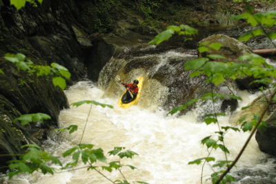
More of my photos can be found on my NEW kayakingphotos.com page and my American Whitewater page.
More of my photos can be found on my NEW kayakingphotos.com page and my American Whitewater page.
More of my photos can be found on my NEW kayakingphotos.com page and my American Whitewater page.
More of my photos can be found on my NEW kayakingphotos.com page and my American Whitewater page.
More of my photos can be found on my NEW kayakingphotos.com page and my American Whitewater page.
More of my photos can be found on my NEW kayakingphotos.com page and my American Whitewater page.
More of my photos can be found on my NEW kayakingphotos.com page and my American Whitewater page.