Nulhegan
Hatchery to Connecticut River
| Difficulty | II-III+(V) |
| Length | 4 mi |
| Avg Gradient | n/a |
| Gauge | Connecticut River at North Stratford, Nh |
| Flow Rate as of 1 hour | 639 cfsbelow recommended |
| Reach Info Last Updated | April 24, 2024 |
Behind the Wildlife Refuge Office is a significant gorge
There is another set of rapids bellow road 105
The rest of the river is mellow down to the confluence at the New Hampshire border.
Park by the place where there is a large pullout on the road. Head towards the river, through alders for 40 feet, until you reach a dead meander of the river. To reach the river, you must cross a couple of beaver dams by paddling on the meander.
After a few minor rapids, when you get close to the railway, there is a 1800-foot steep Class II+ section with an island toward the end. A flat section after the bridge indicates that you are close to the Class IV gorge. Stop river left to scout.
The biggest rapid of the section is right after the railway. Scouting or portage can be done on the left side.
Below the gorge is a 3\4 mile section of Class 2.
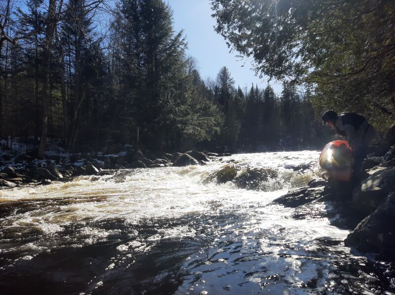
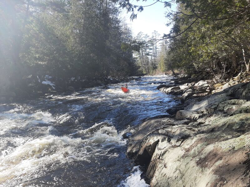
Continuous rapids that are three quarters of a mile long. Bunch of ledges with possible hydrolics at a certain level. Class IV at high flow
The takeout can be found behind the abandon house. The river is accessed via rock stairs. There is the possibility to push further to the confluence. It is mostly swift water.
Oct 24, 2018
The rapids run at lower levels then suggested by AW; I'd say if the CT River is above 5k in North Stratford you should have adequate water.
One can access these rapids by following a refuge trail down to the river (5-10 minute walk) or bushwalking down from Route 105 west of the refuge. Open boaters may want to put in at an upstream bridge (Wenlock Crossing) for ~3 miles of flatwater paddling until first gorge (below the railroad bridge). This is a Class II rapid culminating in a Class III+ multipart drop with a portage trail on the left. A couple easy Class II rapids follow. The river then mellows for a mile until the Route 105 road crossing. Open boats may want to take out here. The pace picks up below the bridge, with continuous Class II-III (III-IV at high levels) boulder gardens with three spicer drops that can have hydraulics at high water. Take out river left at conserved land at the confluence of the Nulhegan and its East Branch, where the Vermont River Conservancy has constructed a hut reservable through the Vermont Huts Association. The river continues downstream about three miles through swifts to the confluence of the Connecticut in Bloomfield where a takeout is on the left (walk across conserved field to parking along road near NFCT kiosk).