Waits River
Waits River Village to Route 25B
| Difficulty | II-III |
| Length | 13.4 mi |
| Avg Gradient | n/a |
| Gauge | East Orange Branch at East Orange, Vt |
| Flow Rate as of 34 minutes | 6 cfsbelow recommended |
| Reach Info Last Updated | May 1, 2018 |
The Waits River is located in a wooded valley in the northeastern portion of Vermont. The overall description covers the entire boatable section from the town of Waits River through Bradford Vermont, approximately 11.5 miles. There is a three mile section that is of most interest to boaters located about a mile below the Waits River town put in.
At the town of Waits River take a left (if coming from the south) at the white spired Church. The put in is located at the bridge crossing a short distance down the hill.
The first mile of river is narrow and rocky if the water is low, it passes farm fields on both sides of the run. After the first mile the river passes under the Vermont rt 25 bridge. This is a more desirable put in for a sportier run. It is located approximately 10 miles from interstate 91 exit 16 just a half mile past the Northeast Slopes ski area. GPS location 44° 4'38.60'N 72°15'33.52'W.
There is a good put in on river left downstream of the bridge.
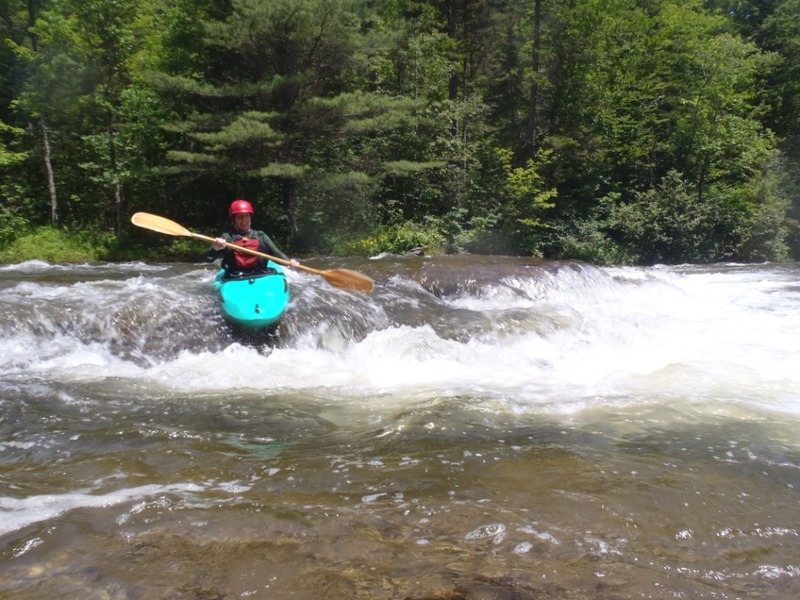
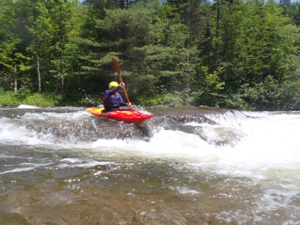
The river here continues the its rocky nature but then starts to transform to ledge drops about a mile further downstream. A dairy farm borders most of the river right through this section so you will have plenty of bovine spectators. As of mid 2013 there was a left channel strainer/beaver dam that presented some difficulty, take the right route if possible. There were still some strainers in this section to avoid.
After this problem section the river drops back into a more secluded section away from the farm fields. Ledge drops start becoming more common. At first starting out small (1 ft) then building to 2 and 3 foot drops. Many of these drops have very nice play holes (or sticky nightmares) at the bottom depending on water level. The last slide in this section drops 4 to 5 feet over a length of about 20 ft. A few more small ledge drops come up to a snowmobile bridge then continues to a convenience store/gas station and bridge. Hedgehog brook enters from
...Apr 16, 2017
Paddled the Waits River (in a canoe) from West Topsham past Waits River today. Above the village the river is a great Class III creek with lots of nice boulder gardens in a wooded setting. There are a few strainers. There were some also some bad strainers at blind bends below Waits River village, and with high water and few eddies, made for some fairly challenging paddling.
Jul 5, 2013
Sharon Lacroix