Indian Creek
East Fork Confluence to Klamath River
| Difficulty | III+(V) |
| Length | 8.4 mi |
| Avg Gradient | 53 fpm |
| Gauge | Indian C Nr Happy Camp Ca |
| Flow Rate as of 41 minutes | 45 cfsbelow recommended |
| Reach Info Last Updated | April 1, 2026 |
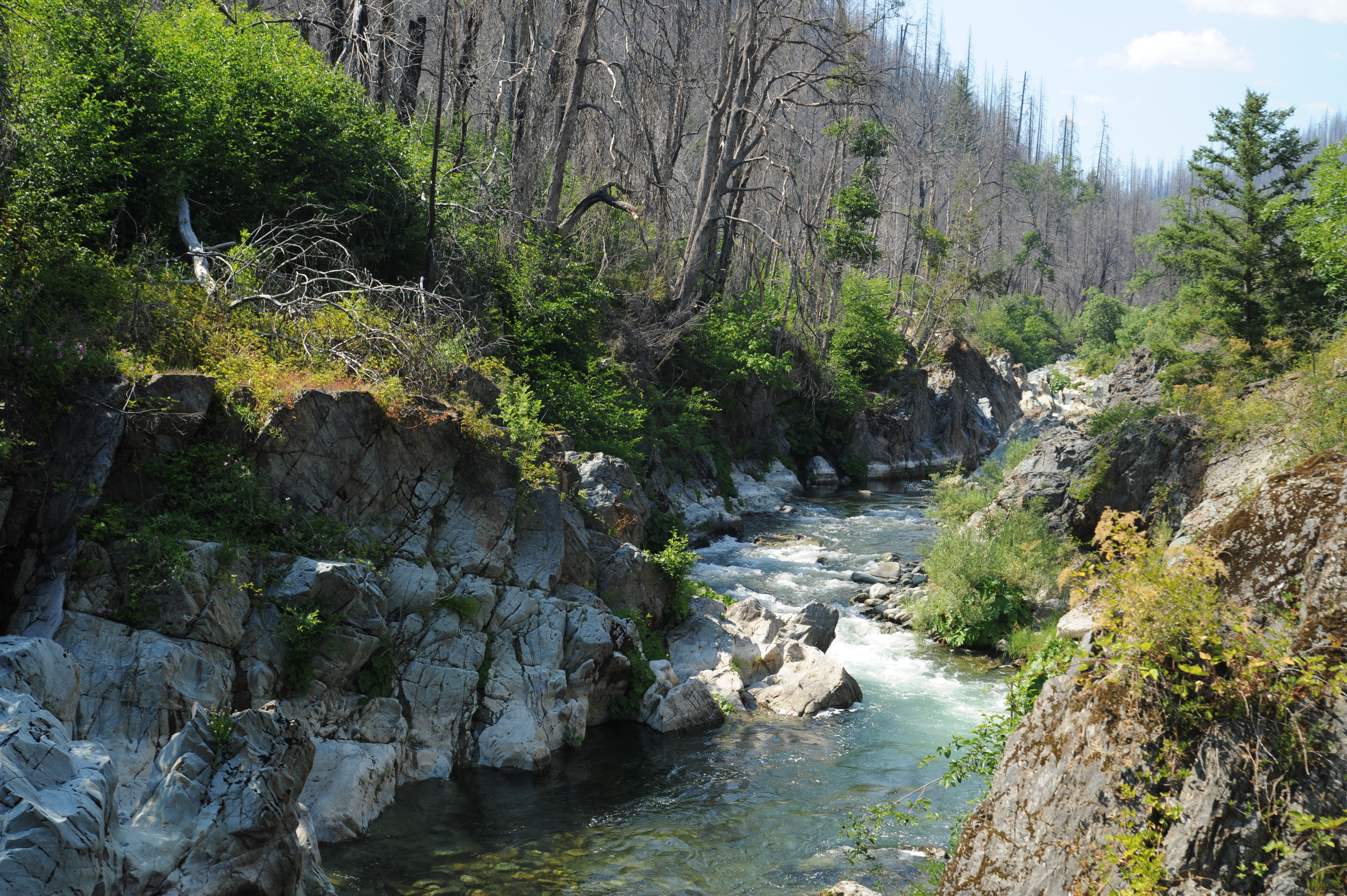
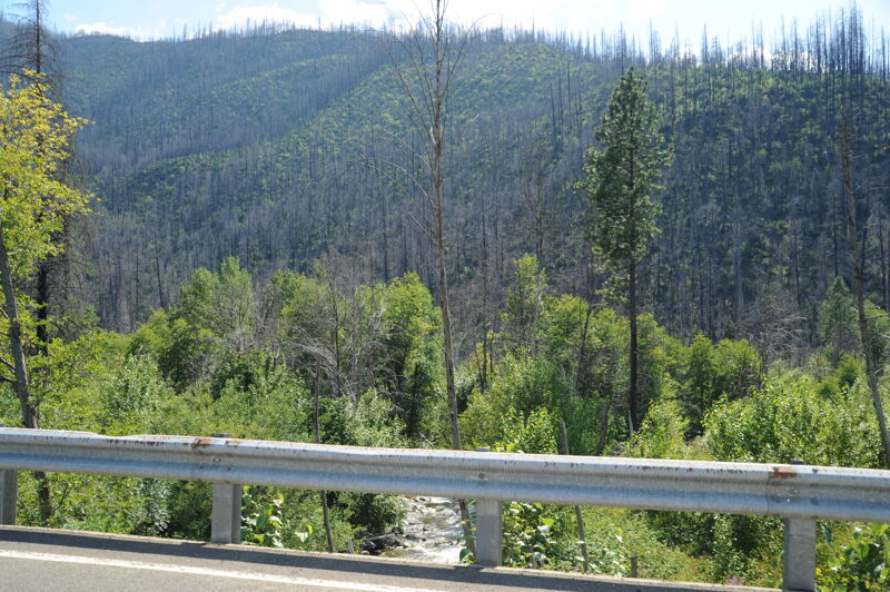
Indian Creek drains the south side of the Siskiyou Mountains, joining the Klamath River at Happy Camp. It shares some characteristics of adjacent Clear Creek and the nearby Smith River forks, although Indian Creek is more impacted by human activity and is generally less scenic. The surrounding landscape is heavily impacted by the 2020 Slater Fire that devastated the Indian Creek watershed as it burned an acre every second, fanned by unusually strong east winds. Nonetheless, it is a pretty run worth exploring when conditions are right, and access is quite easy.
Rapids are formed mostly on boulder bars for the first three miles of the run, offering the occasional surf wave for some fun at medium and higher flows. The character changes quickly about three miles in where a dilapidated metal railcar bridge spans the creek at a transition to a bedrock river channel. Not far downstream lurks Puppy Falls (aka Buchanan Falls), a Class V drop in a straight bedrock gorge. Depending on flows it can be rocky and chunky or powerful and fast or both. Many people choose to portage this drop, which is out of character with the rest of the run. The falls can be scouted easily from Grayback Road before boating the run.
Below Puppy Falls, the creek flows thorugh several more bedrock gorges but has an overall Class III difficulty as it twists and turns toward the Klamath River.
It mellows out to Class II as you enter the town of Happy Camp. Paddle to the Klamath confluence and take out immediately at the Indian Creek River Access on the right.
Indian Creek normally flows at boatable levels in the winter and spring, although sometimes early season fall rains can be enough to get it going for short periods of time before. There is a USGS gage on the creek so there's no need to guess whether or not it is in.
Grayback Road (also called Indian Creek Road) follows Indian Creek for the length of this run, sometimes right next to the creek and other times with a
...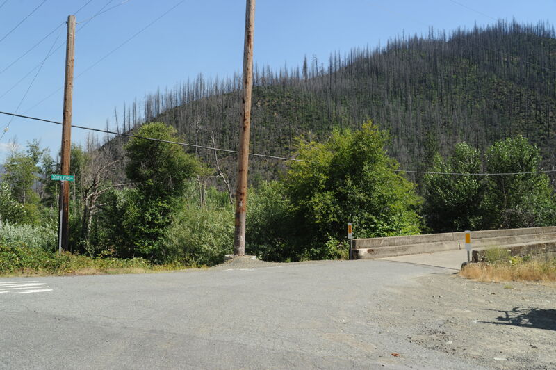
Access is avaialble at the South Fork Road Bridge.
Access at downstream side of the East Fork confluence.

More formally known as Buchanan Falls, it is ignomoniously and locally known as Puppy Falls. This walled-in rapid is Class V and is commonly portaged on river left. A dilapidated metal railcar bridge over the creek and the transition to a bedrock gorge signals the approach to this rapid. It's easy to scout from Indian Creek Road before boating.
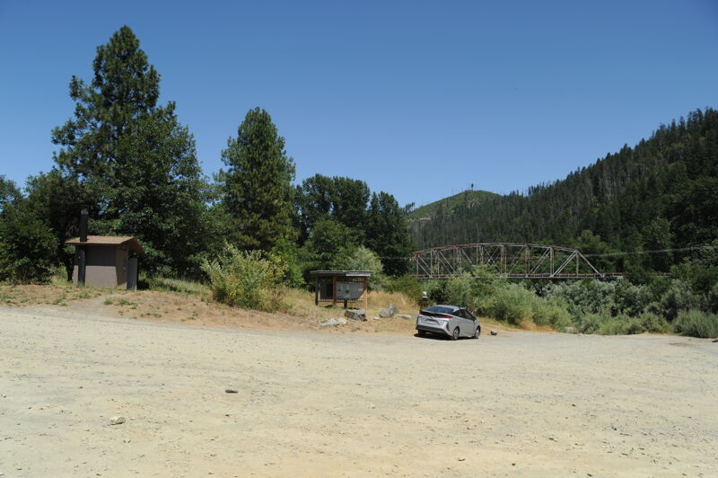
Take out on creek right at the Klamath confluence at the Indian Creek River Access.
Jul 5, 2025
A drive along Indian Creek scouting the access points.
Mar 28, 2011
Looking for something new to do a buddy and I were drawn to this run by the glowing account on Ca. Creeks ( allow me to paraphrase. 'continuous 3+ with a 4- or two and a class 5 in the middle') at a flow just shy of 1,000 cfs we only saw the class 5 and what we presumed to be the 4- in the lower gorge. The rest to our mind was pretty easy class 3 at most. The top four miles consisted of non discript cobble bars with a surf wave now and then. Just before the portage/class 5 bedrock appears. with a couple of fun and very pretty class 3 gorges before things mellow to class 2 as you enter Happy Camp. we came away thinking the rating was more 2/3 instead of 3/4. And if your in Happy Camp looking for a class 2/3 run my buddy said get yourself over to the lower Clear Ck. run, as it's as good as it gets (Clear Ck. is just 7 miles from Happy Camp heading west on highway 96)