Cle Elum
3 - Cle Elum Dam to confluence with Yakima River
| Difficulty | II |
| Length | 5.7 mi |
| Avg Gradient | 24 fpm |
| Gauge | Cle Elum Reservoir |
| Flow Rate as of 8 hours | 3000 cfsrunnable |
| Reach Info Last Updated | May 30, 2019 |
The Okanogan and Wenatchee National Forests encompass more than four million acres and are jointly managed with headquarters in Wenatchee, Washington. The rivers flowing through these forests are essential to the whitewater paddling community—both as close-to-home runs for Washington residents and as classic objectives for paddlers traveling from across [...]Read More
The Mountains to Sound Greenway stretches more than 100 miles along Interstate 90 from the shores of Puget Sound in Seattle, across Snoqualmie Pass, and into Central Washington. Encompassing over 700,000 acres of public land managed by local, state, and federal agencies, the Greenway protects an extraordinary landscape that [...]Read More
SEASON: Late May through early September. Dam release is relatively stable although fluctuations can occur without warning.
DESCRIPTION:
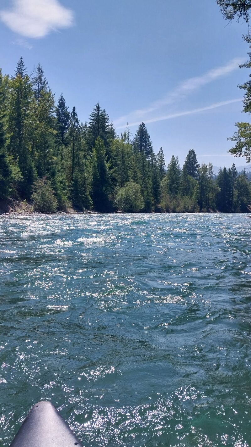
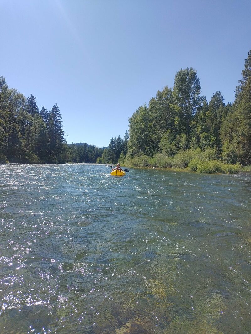
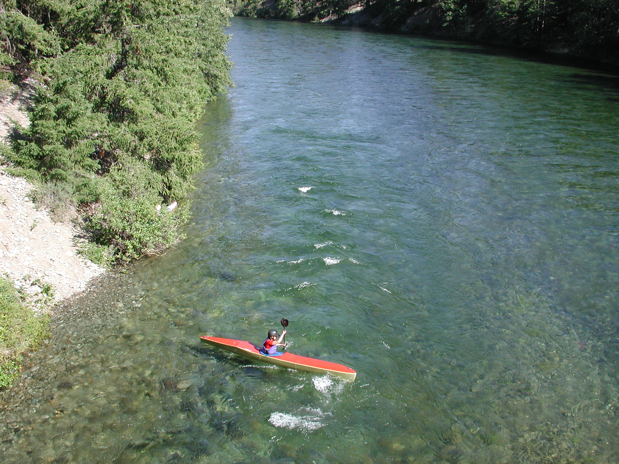
As long as there is a good snowpack and the reservoir is full, this run typically has good flows through the summer. This river has fairly continuous class II rapids with some good wave trains. Beginners will find the run enjoyable at the lower limit of flows but there are fewer eddies at the higher limit of flows. Log hazards are a prevelant along the run.
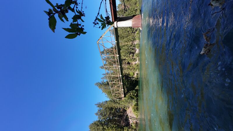
LOGISTICS: From I-90 take exit 80 and head for Roslyn/Salmon La Sac. 0.4 miles from I-90 you will cross the take-out bridge over the Cle Elum. Parking options are not great here, but you'll find a pull-out for a couple cars on the river right side of the bridge. There is good access downstream river right of the bridge. To reach the put-in, continue 2.3 miles east from the take-out bridge to the intersection with Higway 903 and turn left towards the north (at this point you're at mile 4.2 on Highway 903 which becomes Salmon La Sac Road). Pass through the town of Rosyln and continue north to one of two possible access points. The first is an informal Forest Service site along the river. At mile 8.6 on Salmon La Sac Road turn left on Winston Road. Follow this road 1.2 miles to an access point right on the river. It is a gravel road and there are several turns that branch off to gravel pits and staging areas but just stay generally straight and towards the end you will go down a hill to the river (you should see a Forest Service sign board and some informal camp sites). The next access is a short way up river but the road to get down the river is in worse shape. You reach it by turning left off Salmon La Sac Road at mile 9.1 on to Lake Cabin Road , and then take a second immediate left following the sign to Cle Elum Dam. Continue 0.5 miles toward the dam and turn left on to an unimproved dirt road (high clearance recommended). From here it's 0.4 miles down to a
...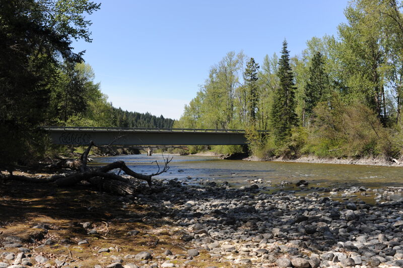
Access is available on the downstream right side of the Bullfrog Road Bridge at a pull out where with a short walk into the river. This is on private land owned by Suncadia.
Aug 15, 2025
This is a nice and peaceful little run! Very excited to paddle something in August that has plenty of water in it. This run reminds me of a mini Tieton with how continuous it is and the amount of wood it has. This section is no harder than class 2, but you have to weave through some sections that look like they're clogged with wood. We boat scouted the whole thing. It only took about 1.5 hours to complete 5.7 miles. There's some catch on the fly surf along the way. Level was 1500cfs ish
*not a great run for super beginners due to the continuous nature and amount of wood hazards. Boat control and scouting abilities are necessary to navigate safely.
Aug 7, 2025
Ran a tandem canoe with airbags on Aug 5. You can drive a vehicle down to the put in to unload with a short carry down a steep bank with a path. A bike shuttle is possible with the connecting bike paths in Suncadia. You can drive down to the take out, then park the vehicle on the side of the highway. Only room for a few vehicles along highway. The run was gorgeous- stunning clear-blue water, super fun wave trains. Water is fast moving - Garmin watch read 8 mph without paddling at times. Good navigation skills are needed to pick channels to avoid all the large woody debris. Over $1.5M in engineered log jams were added for fish habitat, so attention is needed. I agree with others, not a beginner run and the main channels always had a clear path. Took us just under 1 hour ro run this, even with some eddy turn practice.