Clearwater
3 - 144 Gross Bridge to Queets River (Lower)
| Difficulty | II |
| Length | 12.7 mi |
| Avg Gradient | 10 fpm |
| Reach Info Last Updated | May 31, 2019 |
SEASON: Winter rain storms and spring.
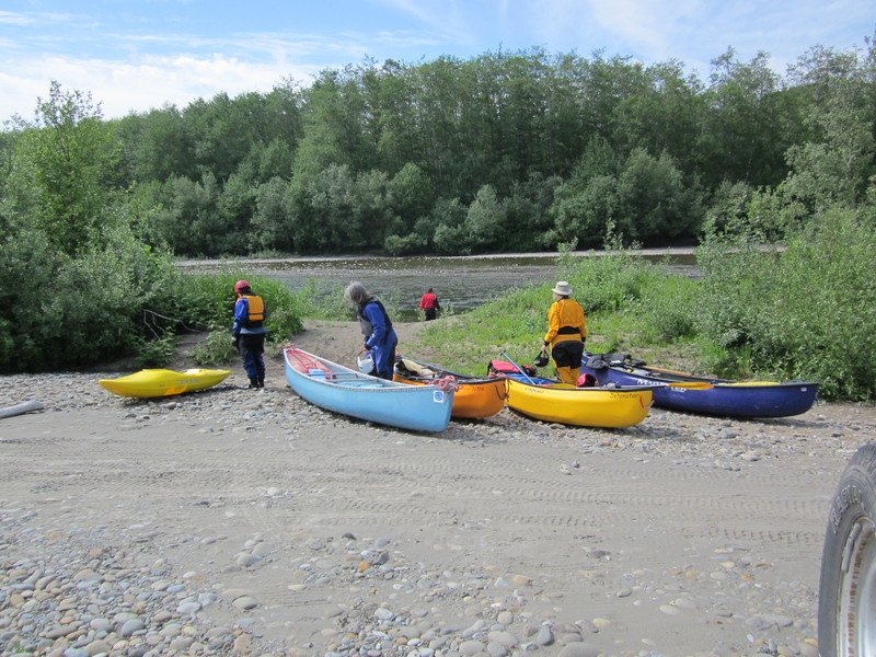
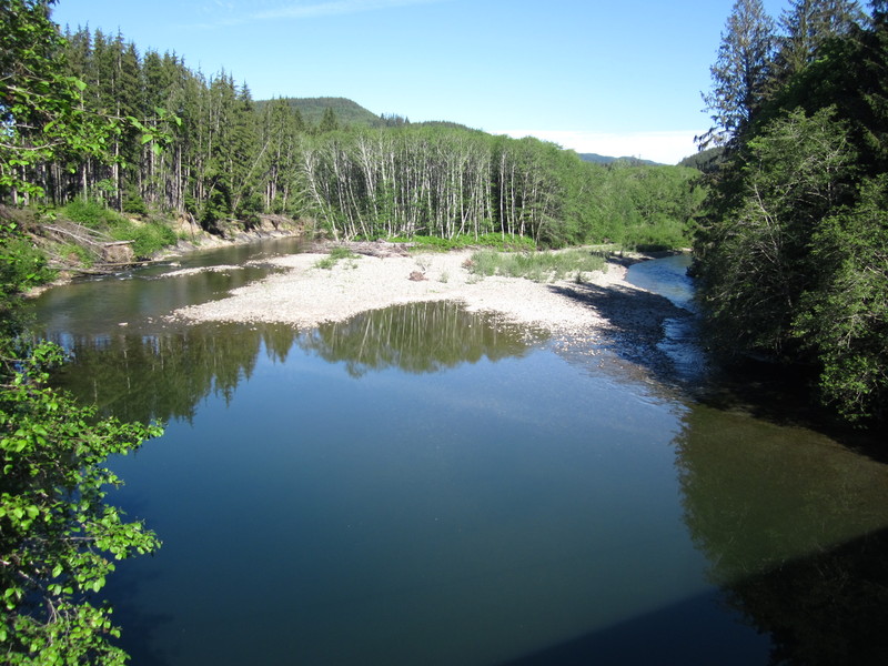
ACCESS: At mile 147.0 on Highway 101 take Clearwater Road east as it heads upstream. The put-in is at the bridge just downstream of where Christmas Creek flows into the Clearwater and the take-out is at the confluence with the Queets River.
DESCRIPTION:
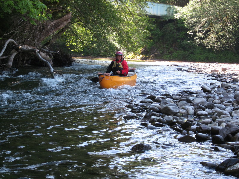
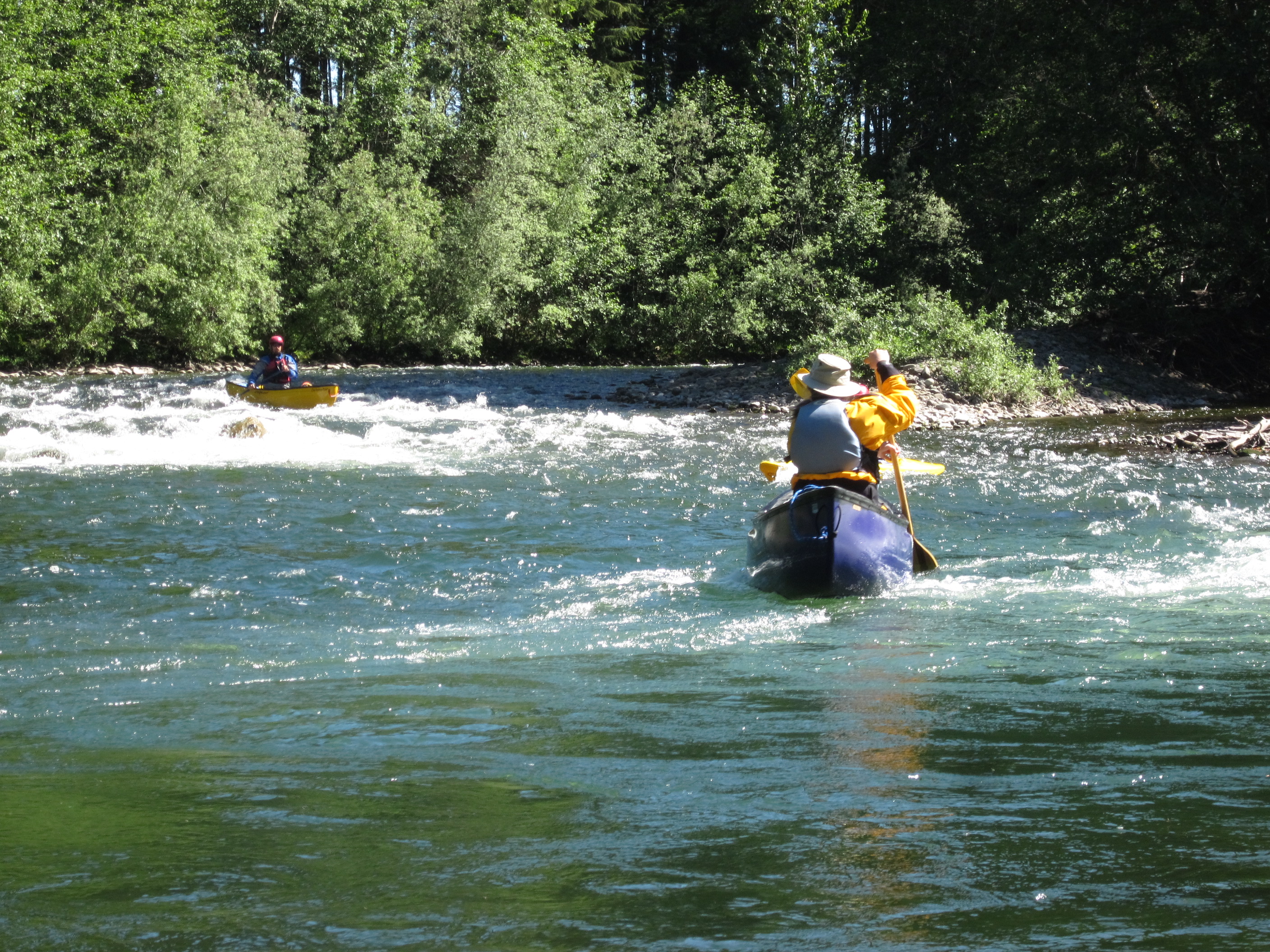
A few class II rapids near the start then easing down to class I as you approach the Queets.
for additional information see