Deer Creek
Bridge at Rick Creek to mouth (town of Oso)
| Difficulty | IV-V+ |
| Length | 11 mi |
| Avg Gradient | n/a |
| Gauge | Nf Stillaguamish River Near Oso, Wa |
| Flow Rate as of 899 days | 214.40 ftstale data |
| Reach Info Last Updated | March 2, 2011 |
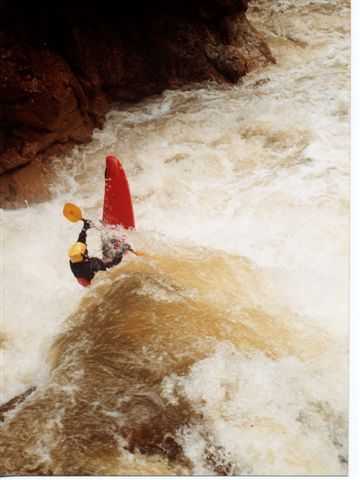
There are around ten standout drops, all in a continuous section of stacked rapids. Compared to nearby Robe Canyon, the in-between rapids are more complex and interesting. High water could be more consequential than high water Robe, because Deer Creek is overall more continuous. At medium flows the eddies are catchable and the big rapids can be scouted without undue difficulty. Access (which may be complicated in June 2011 by a locked gate 2.5 miles from putin) is good and the hike down to the river is short but steep. While I might judge Robe as higher quality not least because of it’s more frequent flows and closer proximity, Deer Creek is a run that should not be overlooked. When Robe Canyon is above 6.5, Deer Creek is likely to be in. It's a prime candidate when others local runs are too high.
No trip reports yet.