Dosewallips
2. Elkhorn Campground to Six Mile Bridge
Dec 23, 2025
Hiked up to the the washout and paddled down to the state park at 850cfs. Fun paddle! Lots of elk and eagles.
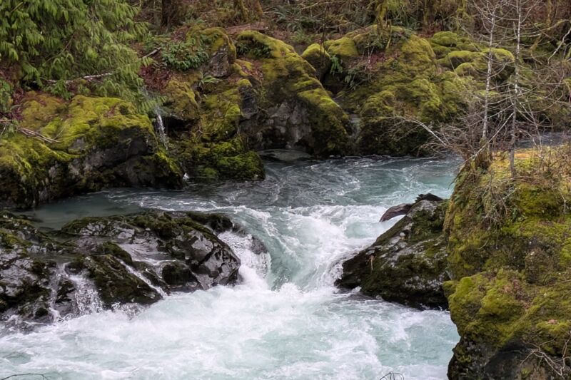
Channel spanning wood just above the access point upriver of the pinch. 47.725211,-123.009596
Also a bit of wood wedged against a rock just above the lip of the pinch.
Aug 3, 2024
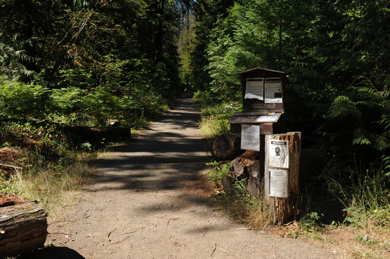
My son and I went on a fishing, camping, and scouting mission up the Dosewallips River. We drove to the end of the road at mile marker 8.6 and then hiked in to Elkhorn Campground at mile 11.0. We stopped at the washout at mile 9.8 and scouted the Maze along the way. The Maze was pretty clean, but too low at summer flows, with some wood in play throughout. The campground was beautiful and full on a summer weekend with many families taking advantage of this great opportunity to hike or bike in a short distance for a weekend of river-side camping. The old picnic tables and fire rings have been removed and the outhouse is boarded up but the campsites are still clear and open for dispersed camping.
Nov 20, 2021
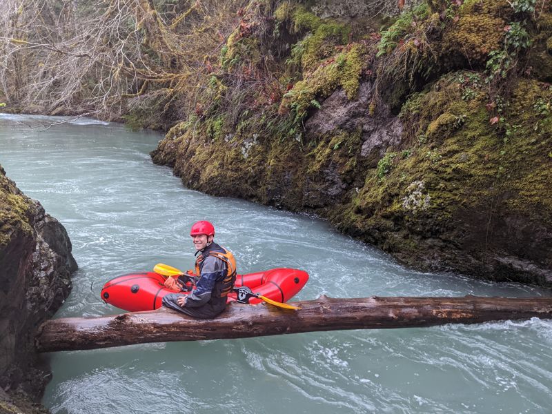
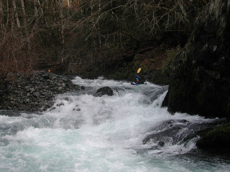
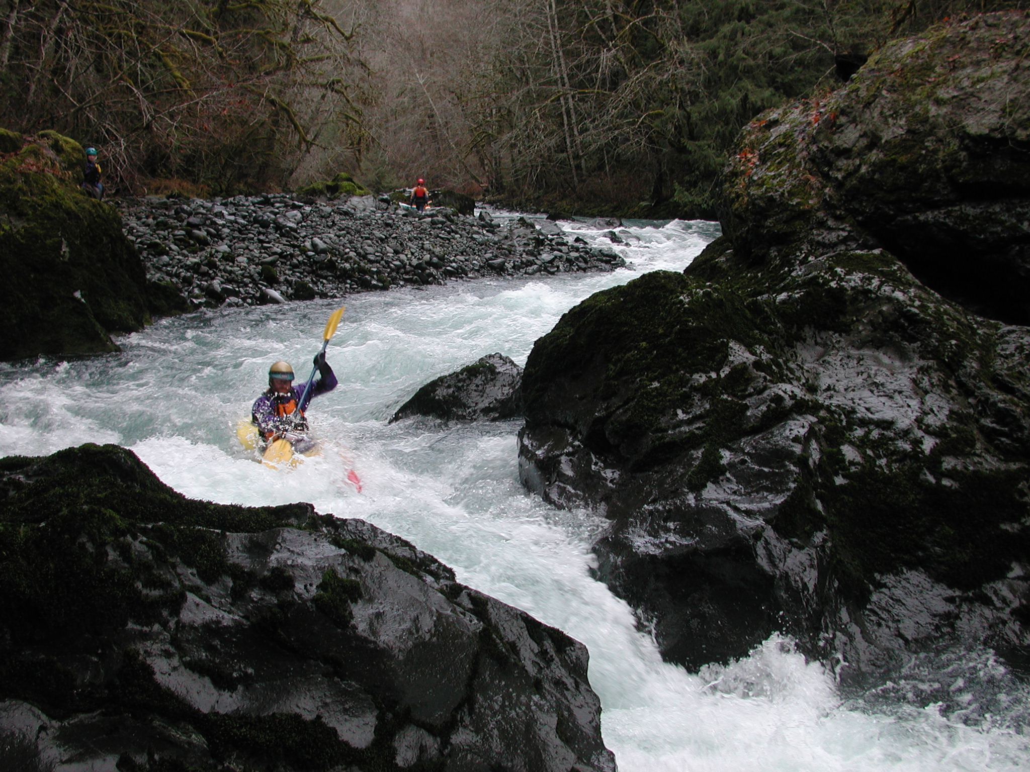
Fun level to explore the Dosewallips run, ran from the end of the maintained road, (47.741955, -123.050445) to Dosewallips State Park. Took 2 hours. Scouted the Pinch from the 6 mile bridge and didn't see any wood in play, other than one log in the bedrock section that was in slower water. Note, we couldn't see the rapid above the Pinch, from the 6 mile bridge.
There were 6ish cars at the end of the maintained road parking area. There was not a lot of parking space (maybe 1-3 cars at most) at the 6 mile bridge pull-out.