Elwha
3. Highway 101 to river mouth (ocean surf)
The Lower Elwha Klallam Tribe has installed 80 Engineered Log Jams between 2000-2024. Boaters should be aware that the reach has both natural and man-made log jams.
The Lower Elwha Klallam Tribe installed 60 Engineered Log Jams between 2000-2014 and is in the process of installing an additional 20 ELJs this summer. As part of these efforts a mainstem channel diversion is in place downstream of the Elwha Bridge (48.11570, -123.55255) on the Elwha now through the end of September.
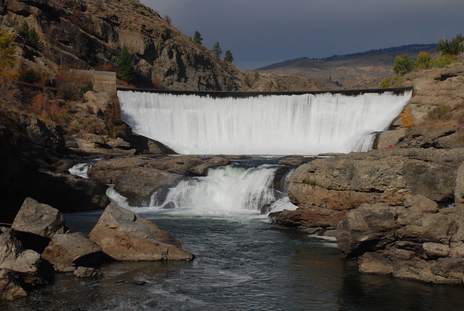
Park Cautions Elwha River Boaters to Avoid Former Elwha Dam Site
Olympic National Park staff urges all boaters to stay away from the section of river that flows through the former Elwha dam site. This site is located between U.S Highway 101 and State Highway 112, outside of the Olympic National Park boundary. A map of the area will follow within minutes.
Remnants of the dam’s foundation remain in that area of the river and include long pieces of rebar and other metal shards that extend close to the water’s surface. Boulders and swift currents in the area compound the risks and boaters are urged to avoid this section of river.
“The risk of snagging a boat on the remaining metal is high and presents a very real danger to boaters and swimmers,” said Olympic National Park Superintendent Sarah Creachbaum. “Until we are able to correct this problem later this year, we urge everyone to portage around the old Elwha Dam site.”
The park is working with the Army Corps of Engineers to develop a plan for removing the metal during this summer’s low river flows. Until then, boaters, tubers and swimmers are urged to avoid the section of river through the old Elwha dam site.
The Elwha River is closed to boating from the Smokey Hill Trail (formerly Upper Lake Mills Trail) downstream to the Altair Campground. The river is open to boating from the Altair Campground downstream, but boating through the former Elwha site is strongly discouraged.
The Olympic Hot Springs Road, which provides access into the upper Elwha Valley, remains closed to motor vehicles at the park boundary due to a major road washout. National Park Service and Federal Highway Administration engineers have completed plans for repairing and reopening the road. These plans are currently under review by the National Marine Fisheries Service, a branch of the National Oceanic and Atmospheric Administration (NOAA) and U.S. Fish and Wildlife. These agencies oversee management and protection of threatened and endangered anadromous fish and fish habitat, and are reviewing plans to ensure that threatened Chinook and bulltrout populations are not adversely effected. The U. S. Army Corps of Engineers and Washington State Department of Ecology are also reviewing the park’s plans. Once plans are approved, construction will begin immediately and is expected to take approximately eight weeks to complete.
The road is open to pedestrians, bicyclists, horses and leashed pets. Trails remain closed to pets and bicycles, as normal. Hikers planning day or overnight hikes into the Elwha Valley will need to begin their hikes at the park boundary. From the closure, it is a seven-mile walk to the Whiskey Bend Trailhead and an eight-mile walk to the Boulder Creek trailhead.
For more information about visiting Olympic National Park, including current road, campground and trail conditions, people should visit http://www.nps.gov/olym.
-NPS-
October 27, 2011
For Immediate Release
Dave Reynolds 360-565-2985
Contractor to Release Logs Over Elwha Dam October 28; Natural Wood
Transport Restored
Barnard Construction, contractor for the removal of Elwha and Glines Canyon dams, plans a release of logs and large woody debris from the Lake Aldwell reservoir into the lower Elwha River.
On the afternoon of Friday, October 28, about 20 large logs will pass through the temporary diversion channel and be naturally transported downstream.
Falling trees and other debris that naturally enter the river can also be transported downstream on a daily basis. Fisherman and other users are advised to be cautious and to watch for floating wood, just as they would
on other Olympic Peninsula rivers.
-NPS-
WDFW, the Lower Elwha S'Klallam Tribe, USGS, USFWS, NOAA, and the National Park Service have installed a channel spanning floating fish weir 1 mi downstream of the Elwha Dam/put-in . The instructions are to portage on the left bank where there is an embankment to climb; a trail exists of sufficient width for large rafts.
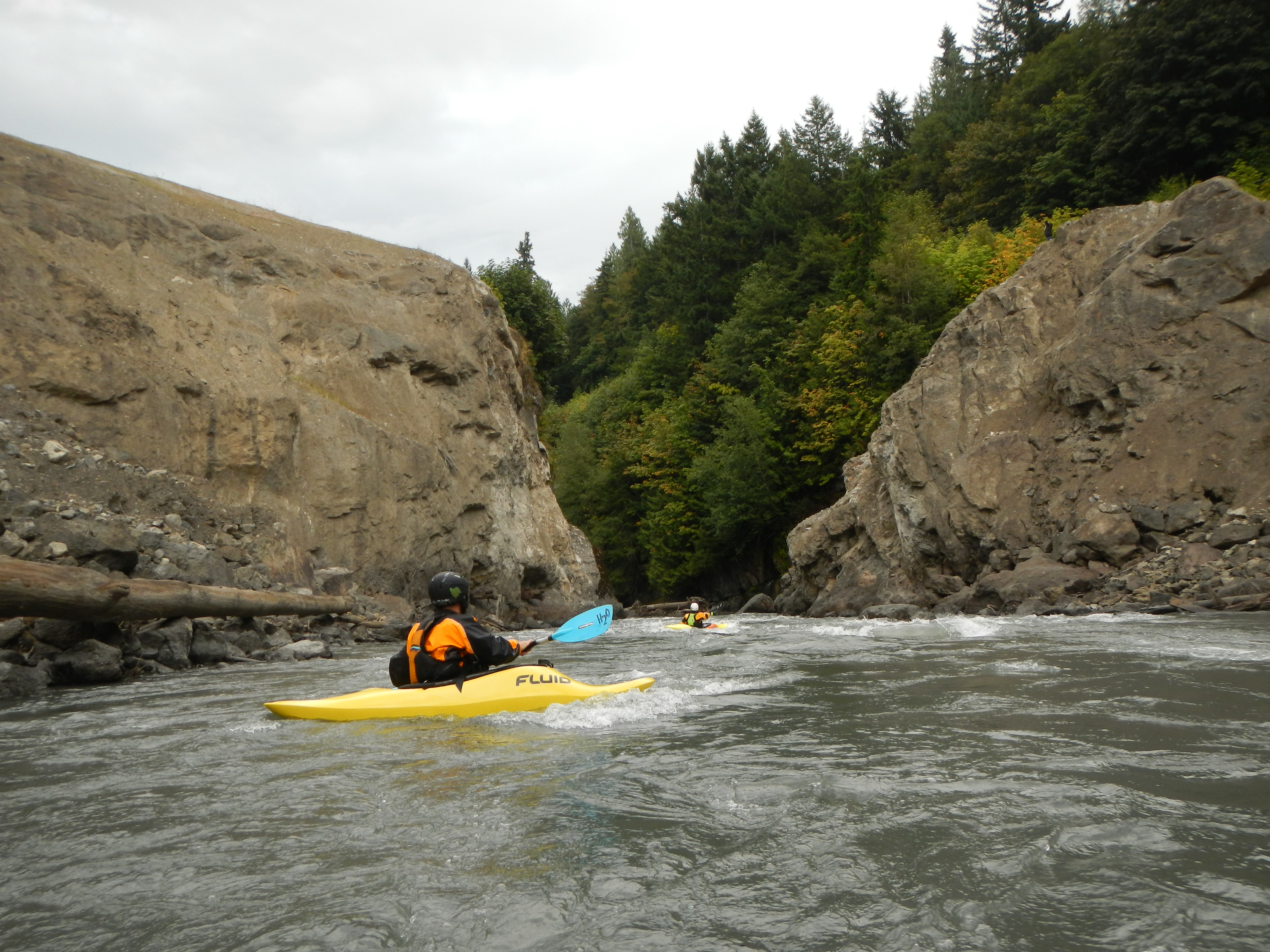
I recently ran the lower Elwha (Aug. 12th, 2008) and it has a major log jam located about 1 mile from the ocean. The log jam is hidden around a bend and is only foretold by the smaller blockages you see blocking as you approach the delta of the river. We had to portage our gear via rope and walk over the river on logs in order to pass the 50 yards of debris. There is no easy way around or over. I recommend waiting until a big storm moves the jam.
Aug 19, 2018
Several dams in Washington State have known issues impacting fishery resources or river-based recreation. Some represent partial or complete barriers to fish passage that should be addressed; additionally impacts to […]
Mar 1, 2018
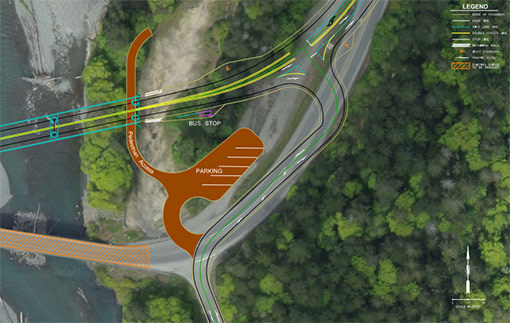
Design for the US 101 Elwha River Bridge replacement project is proceeding forward and the Washington Department of Transportation is soliciting community feedback. As part of this process, American […]
Aug 27, 2013
While paddling the Elwha River is a fascinating way to experience restoration and recovery of a free-flowing river in action, it’s not the only way to get a first-hand look […]