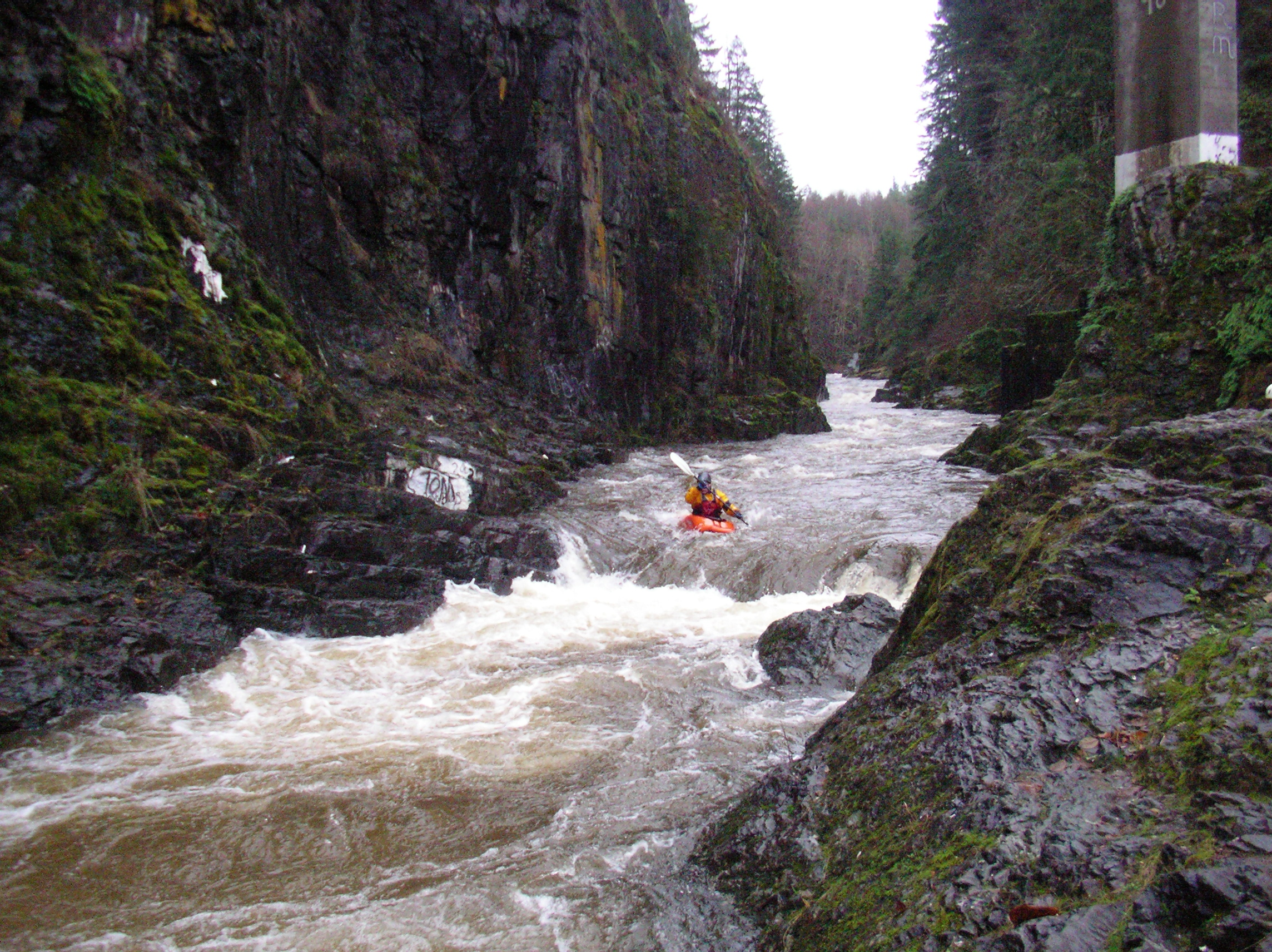
Mashel
Eatonville to Nisqually River confluence
PUBLIC SAFETY NOTICE: Please note that nine, new engineered log jams were installed in the Mashel River beginning approximately 0.15 miles upstream of the confluence with the Little Mashel River and extending 0.10 miles below the Little Mashel confluence during 2018 and 2019.
These log jams and other salmon habitat improvements are a continuation of salmon restoration efforts outlined in the Mashel River Restoration Design Memorandum (Watershed Professionals Network 2004), the Nisqually Chinook Recovery Plan (Nisqually Chinook Recovery Team, revised 2011), and other plans. As part of prior phases of restoration, a number of other log jams and wood habitat structures have been in place for many years, and continue to be in place within the mainstem Mashel River upstream of the new project area, upstream and downstream of Eatonville. Black and yellow warning signs alerting boaters to the presence of in-stream wood have been placed near Boxcar Canyon, Smallwood Park, and 439th St Ct E.
Here are GPS points of the new log jams in decimal degrees:
46.85689, -122.277604 Upstream extent
46.857084, -122.282955 Downstream extent
There is a large spanning log approximately 0.2 mile downstream of the Hwy 7 bridge.
No articles