| Difficulty | II-III(IV) |
| Length | 6 mi |
| Avg Gradient | 45 fpm |
| Gauge | Muddy River Below Clear Creek Near Cougar, Wa |
| Flow Rate as of 1 hour | 140 cfsbelow recommended |
| Reach Info Last Updated | May 19, 2021 |
River Description
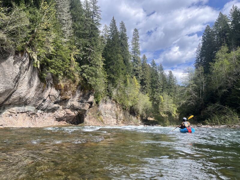
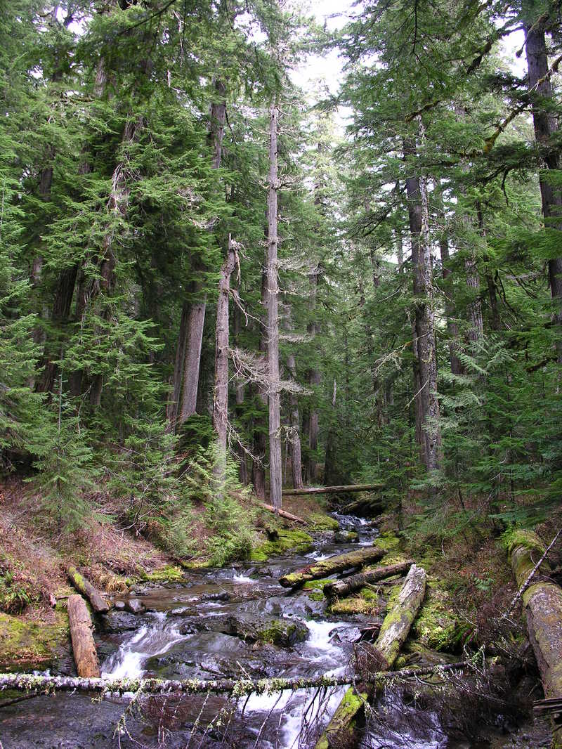
The first part of the run is through a riverbed shaped by the Mt St Helens blast of 1980. There are many trees down along the bank, but they do not obstruct passage for a boat as of Spring 2015. The river does not reach class III before the gorge. This class IV-ish gorge is short, maybe 100 yards long, and has 3 distinct rapids with waves between. Be sure to check out the deep blue rock on river right above the final pinch when scouting, it is intriguing. All of the rapids in the gorge can be scouted easily from the right, portaging the pinch would be difficult.
Below the pinch the river enters a flat gorge section before returning to gravel bars. The eddyline at the confluence of the Muddy and Lewis portrays an interesting contrast in turbidity. The next half mile to the take out has enjoyable class II+ rapids with waves.
Access is easy at both the put in and take out. The run could probably be done well above the recommended flows, but the gorge would get wild, especially the Pinch which would be difficult to portage.
River Features
Put In
Access PointDistance: 0 mi
Take Out
Access PointDistance: 5.5 mi
Trip Reports
Log in to add a reportJK
Muddy Fork Lewis - Jo Kemper
Apr 25, 2026
SS
Susan Saul
Sep 24, 2009
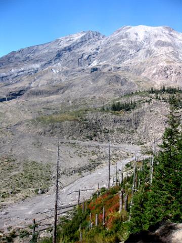
headwaters of the Muddy River on Mount St Helens
SS
Susan Saul
Sep 24, 2009
headwaters of Muddy River on Mount St Helens
SS
Susan Saul
Nov 7, 2007
Clear Creek above the end of Road 9327.
Clear Creek below the Wright Meadow Trail #80 bridge.
TO
Thomas O'Keefe
Sep 10, 2007
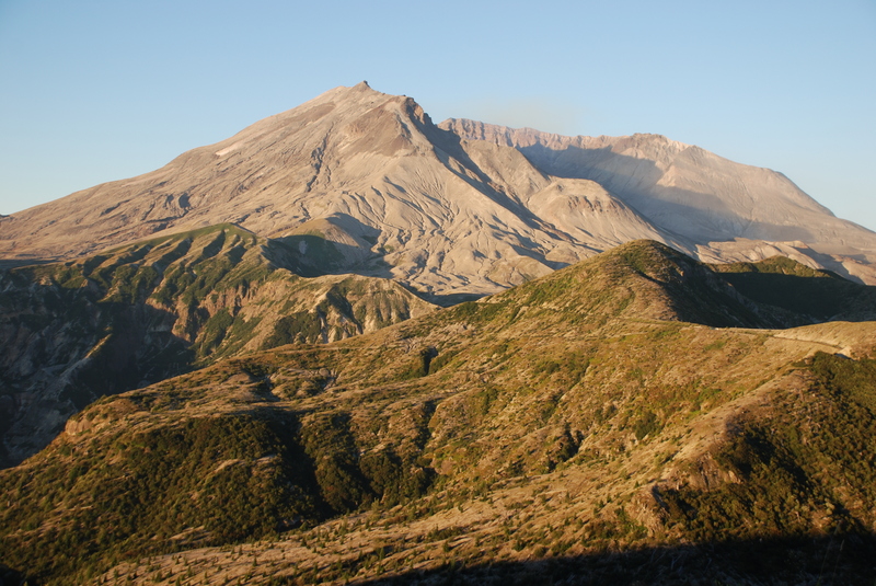
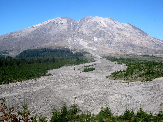
Mt. St. Helens at the headwaters of the Muddy River. The Muddy drains off the slopes of the mountain to the southeast and joining the Lewis River just upstream of where it enters Swift Reservoir.