Naches
Sawmill Flat to bl. Town of Naches
Apr 26, 2025
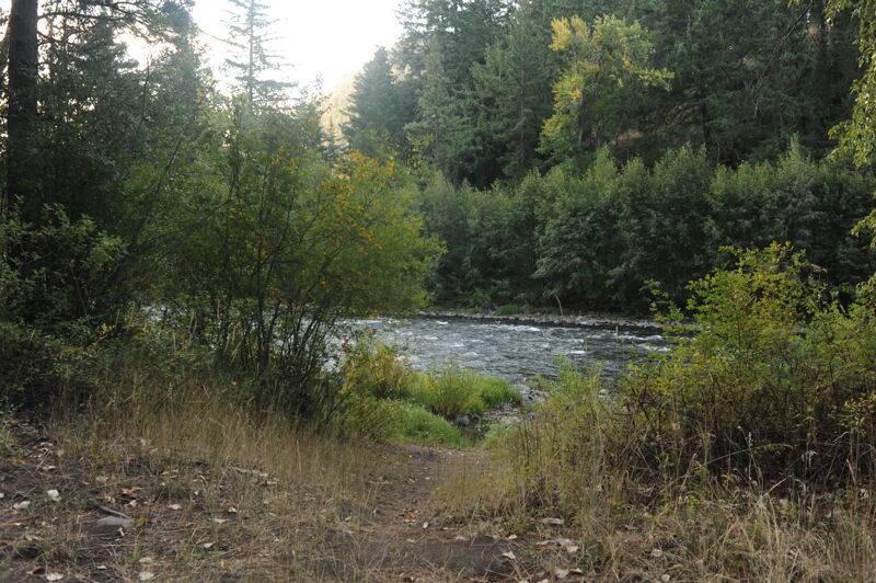
Put in at lower Nile road behind the woodshed and floated down to the confluence with the Tieton. ~2hr. Wood on the margins but easily avoidable. A couple of fun holes in the 10.5ft raft. Put in requires walking on large riprap and the take out would be a bit much with heavy rafts. Would be a super fun level for an IK.
Sep 28, 2024
Apr 30, 2023
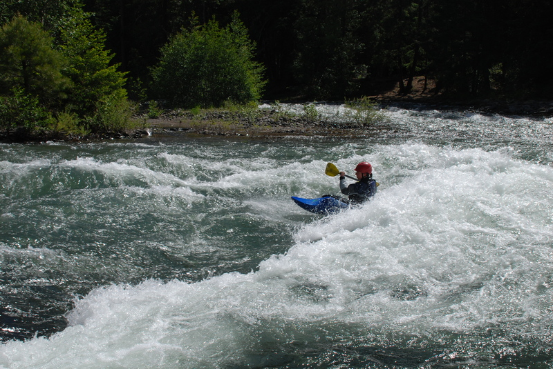
Ran the lower Naches with my wife from Nile to the HWY 12 bridge in a double IK at 2700cfs. River was fairly rowdy in spots for an IK, definitely solid Class III in places. Most features can be sneaked except for the old diversion dam remnants. Lots of wood in the river and some nasty log jams that were easy enough to avoid, but high consequence nonetheless. Way fun and not too technical. ~13 miles in 1.5 hours
Jun 6, 2018
June 2-3, 2018. Floated from Little Natches CG to just above Tieton confluence in one day, then from just below the irrigation dam downstream of the Tieton confluence to below the town of Natches the next day. Beautiful, mellow float in 13-foot rafts. Lots of wood in the river, but no obstructions. Water level was about 1,300 cfs, and that's about as low as you would want in a raft. The only remaining irrigation dam in the stretch that we floated that is a hazard to boaters is the one just below the Tieton confluence.
Jul 11, 2017
I just had a very enjoyable day on the Lower Section of the Naches from the Woodshed Restaurant to the Y (Highway 410 & 12 intersection). It was running at 900 CFS. You can run it lower than shown in a kayak or a canoe. The upper section from Halfway Flats Bridge to Cottonwood campground is good at 1100 cfs.
May 10, 2016
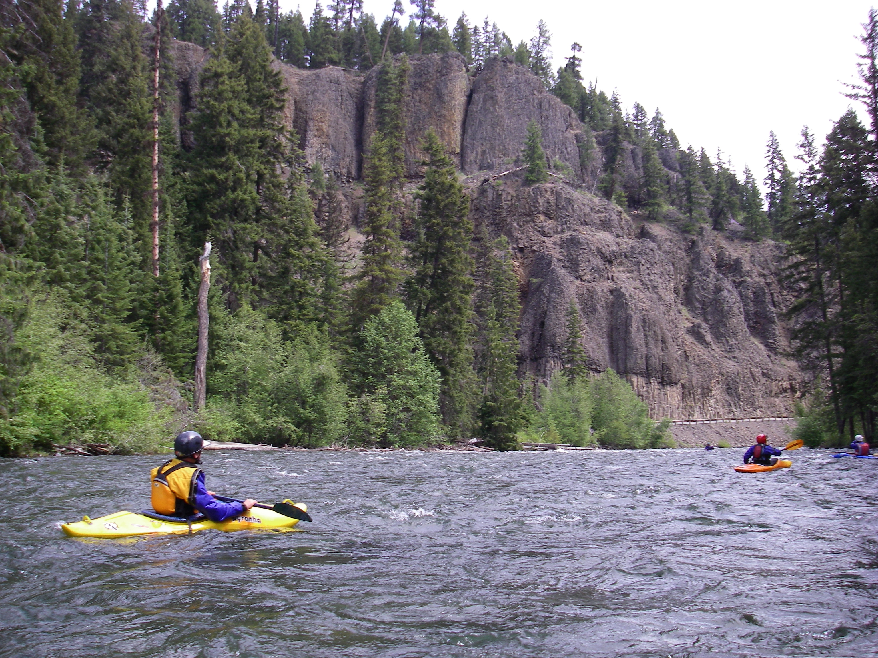
Major log jam ~ 1/2 upstream of Cliffdell/Swamp Creek confluence.
Jul 10, 2011
Morning trip on the Naches River from the Bumping down to Cottonwood Campground.
Apr 10, 2011
We put in at nile road and ran to hwy 12. Water was at just under 1300 but was still moving quick. There was one 3/4 river wide strainer but there was a nice Eddie river left. The old broken up diversion dam was not a problem, we took a line down the center. Would run it again, it was a nice warm up for the season.
Oct 6, 2006
The stretch from the Tieton confluence down to the town of Naches has 3 diversion dams. The first can be seen from the road, and it should be portaged on the right (it's an easy portage that puts you away from the dangerous parts of the dam). The second is about 4 miles later, and is only a couple of feet high. The third is another mile or so down the river. It's about a 6 foot drop over boulders. The easiest runs are on the downstream side (river right), but there are also slots on the far left and about 15 feet from the left.
The takeout at the bridge in Naches is pretty easy and convenient, but the eddy on river right next to the bridge is small and not easy to hit. Stage boats at the eddy about 50 feet above this and have them come in one at a time.
Jul 2, 2006
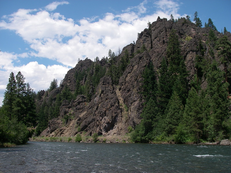
Naches River near Cliffdell.
May 31, 2004
Bennett lists Cottonwood Campground as an access point, but as of 2004 it is no longer a reliable option unless you are camping there (you might get someone camping there to let you use their campsite to park, but don't depend on that). Luckily, there's a nice access point on river left at the bridge on Old River Rd. The best reason to use this access is to either extend the Little Naches or the lower American.