Nisqually
2 - Mashel River to Mckenna
| Difficulty | II |
| Length | 17 mi |
| Avg Gradient | n/a |
| Gauge | Nisqually River at Mckenna, Wa |
| Flow Rate as of 26 minutes | 772 cfsbelow recommended |
| Reach Info Last Updated | February 14, 2022 |
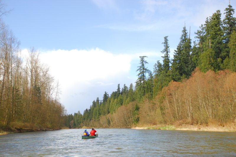
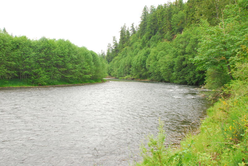
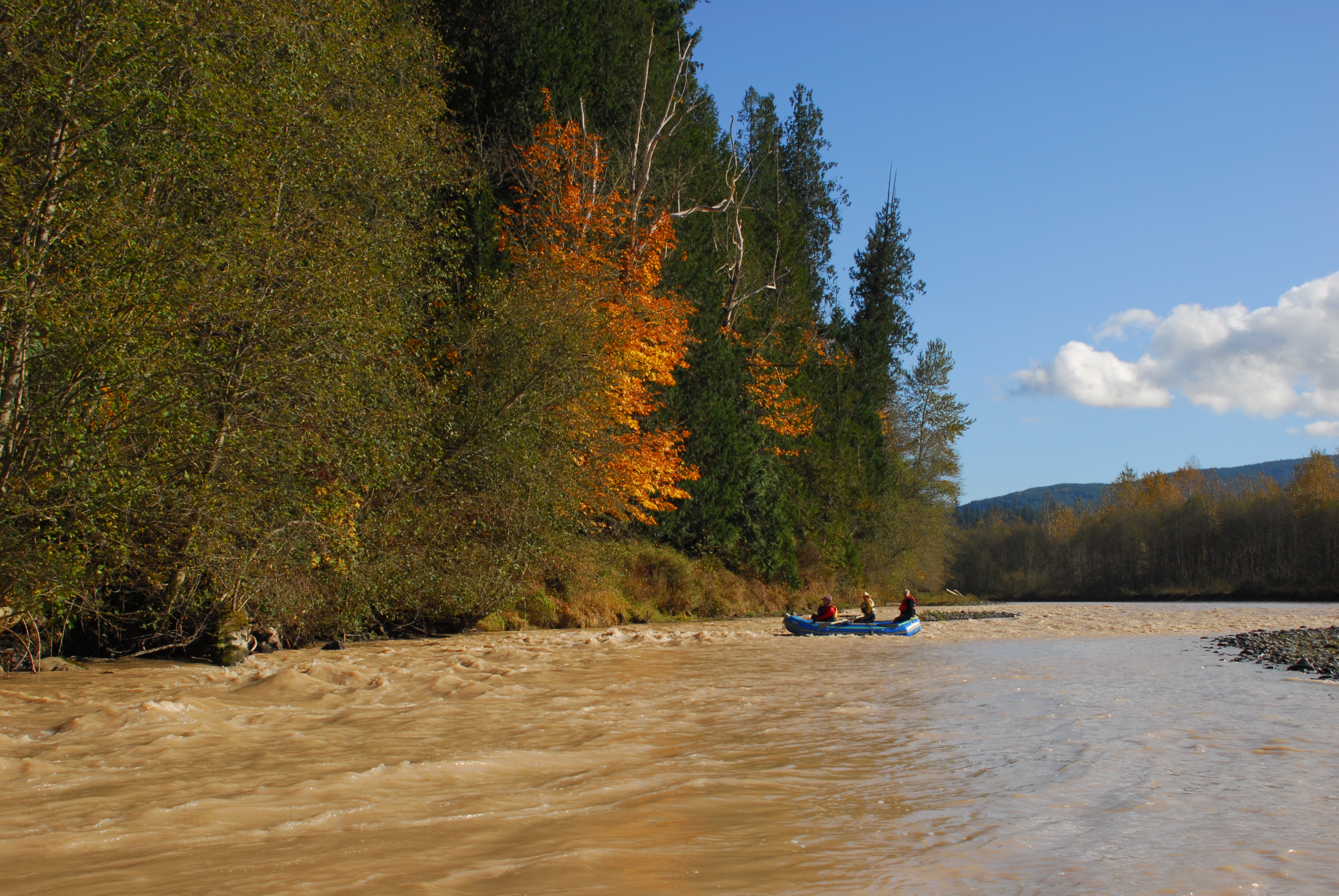
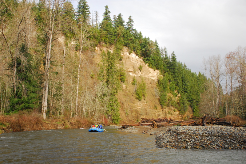
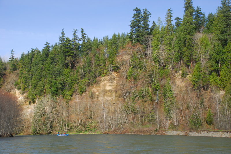
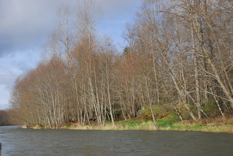
If you use the Highway 7 bridge across the Mashel as your put-in you will be treated to a nice float and some gravel bar rapids through an impressive stand of low elevation forest--something you don't see very often around Puget Sound. Check the Mashel description for more information on the whitewater (upstream of Highway 7) to be found on this neat little run. Once you paddle out on to the Nisqually the power picks up considerably. There are a couple of rapids with some fun little waves and strong eddy lines within the first couple miles or so, but after that things begin to calm down a bit. You won't find anything much more difficult than class II+ but the river packs plenty of power and there are several log jam hazards that would keep novice paddlers on their toes. Much of the run flows through thick forests but as you make your way down the river you start to see more evidence of human presence along the banks.
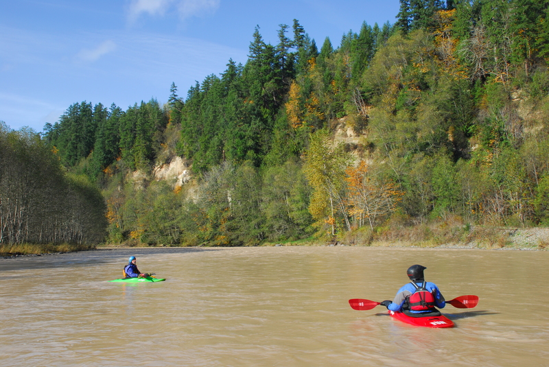
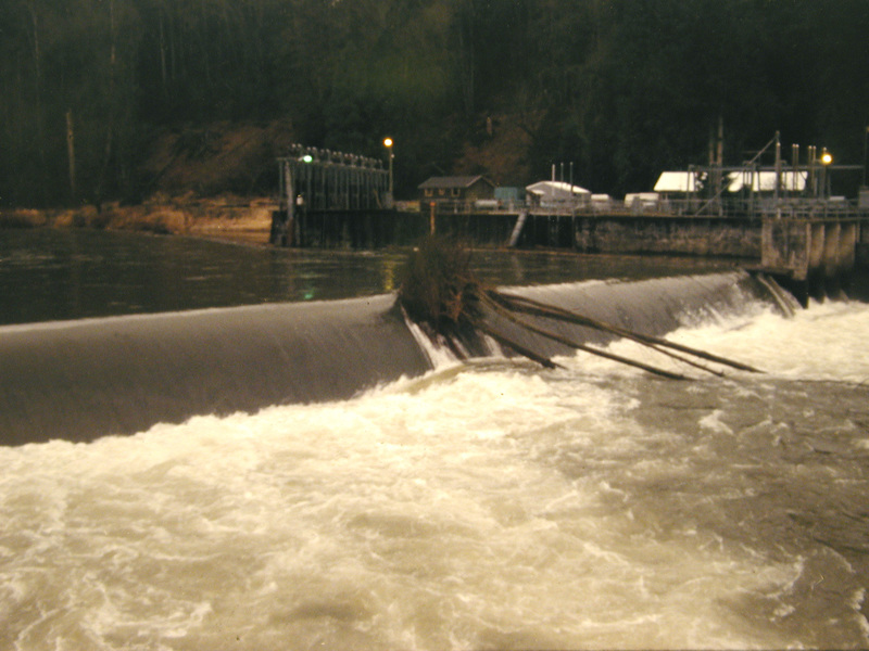
Although the river does not provide a lot of whitewater, the access issues will mean that you will have the river all to yourself. Packrafts open up possibilities to more easily hike in and experience this river. The only hazard to be aware of is the Centralia Dam, low-head dam midway through the run. This is a very serious hazard and a definite drowning machine. It's easy to recognize as you approach from upstream and there are warning signs. The portage trail is on river right. Don't even think about paddling up to the edge for a peak.
Logistics: Finding a put-in for this section of the Nisqually is problematic as the access roads are gated.
Mashel River Bridge: Public access is available at Highway 7 Bridge across the Mashel River. From here it is a 3.4 mile paddle through a meandering low gradient reach of the Mashel before you reach the Nisqually. You can expect several wood portages and most would prefer to put-in right at the confluence. Thi
...
If you can access the site in Pack Forest, it is possible to launch boats on the Mashel River just upstream of the Nisqually River confluence. You can also hike in or transport a boat with a cart.
Access within Nisqually State Park but the road to the river is gated.
Potential access point on river right but the road is gated.
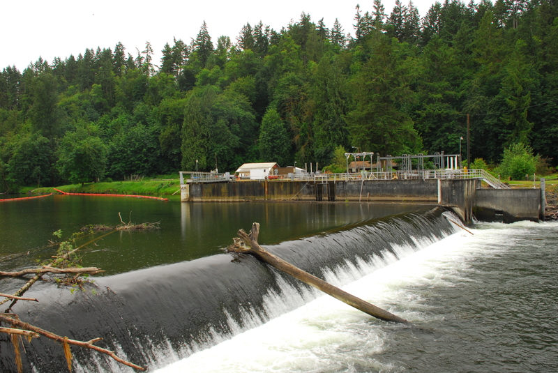
A mandatory portage at the dam located at river mile 26.2.
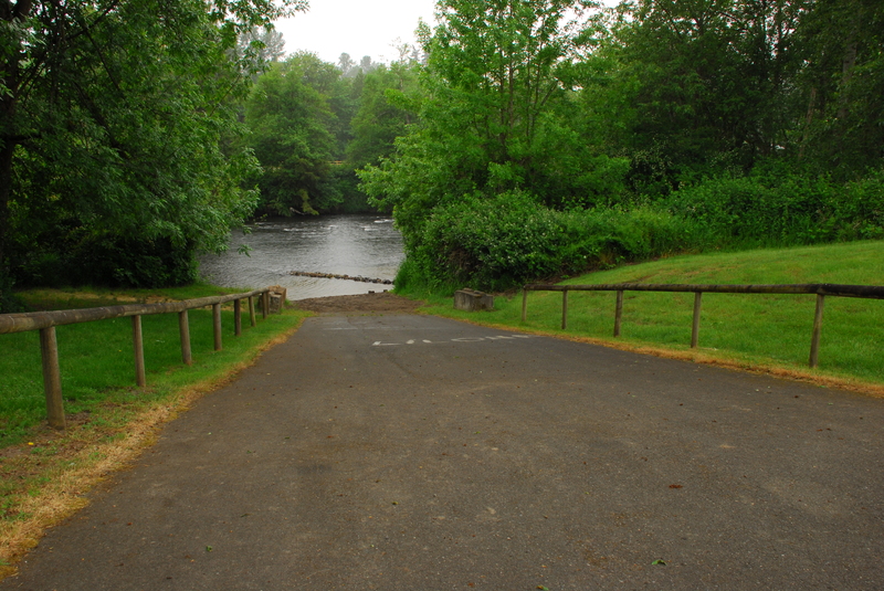
A good access at boat ramp is available on river right in McKenna Park just upstream of the Highway 507 bridge.
Mar 7, 2016
Float trip from Mashel River to McKenna with American Whitewater, National Park Service, and Nisqually River Council. We accessed the river through the locked gate at the Mashel Confluence and floated down to McKenna, portaging the rafts at the Centralia Dam.
Jun 2, 2015
This was a land-based tour to investigate potential access points to this upper portion of the river.
Nov 4, 2014
We gained access to the locked gate at put in at the Mashel River confluence to assess potential access points that might be developed as part of a future State Park. We also assessed the character of the river down to McKenna. The first few miles were very scenic and forested before we passed through a rural landscape with views of Mt. Rainier.