Nooksack, N. Fork
2 - Nooksack Falls to Douglas Fir Campground(Horseshoe Bend)

| Difficulty | IV+ |
| Length | 1.8 mi |
| Avg Gradient | n/a |
| Gauge | Nf Nooksack River Bl Cascade Creek Nr Glacier, Wa |
| Flow Rate as of 53 minutes | 631 cfsrunnable |
| Reach Info Last Updated | August 29, 2019 |
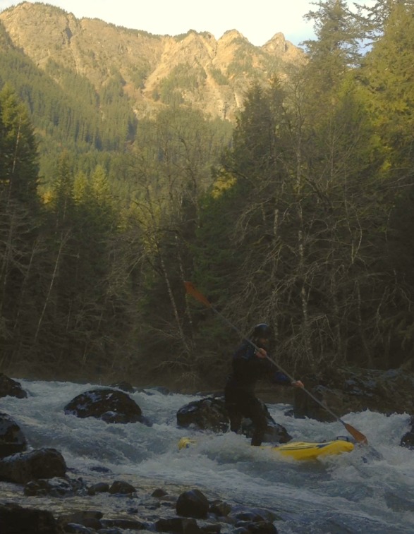
FUN FACT: Short little creek run good for the advanced boaters who want some fun before joining intermediates for the run from Douglas Fir Campground down.
SEASON: Glaciers on the slopes of Mt. Baker keep this run flowing from late spring to early fall. This is often a good run in late summer or early fall when other runs are too low. The seasonal river closure on the North Fork Nooksack does not affect this section (i.e. it's open for boating as spawning habitat for salmon is generally limited in this reach).
DESCRIPTION: For boaters in the Bellingham area, this is a good starting point for the harder runs in the drainage. Roughly from easiest to hardest, it goes Horseshoe, Canyon on the Middle Fork, Upper Middle Fork, Clearwater, and (above and beyond the rest) Racehorse Creek (600 FPM)!
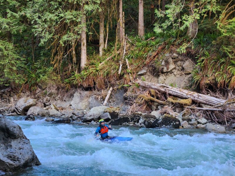
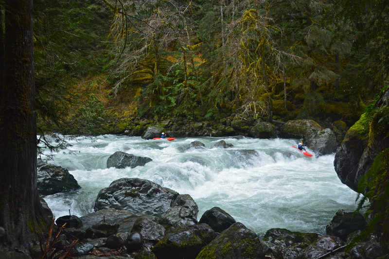
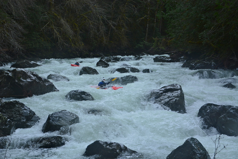
The first rapids are easy, but really fun to warm up on. You can find some decent play depending on levels. After a couple III+/-IV type drops, it's time to start keeping your eyes peeled for a big log jam on river right. This marks Bench Drop. Scout right, to choose your door. After two more quick rapids, you arrive at a small pool above SAT. Definitely scout SAT, for the last drop in the rapid has an undercut and a pin rock to avoid. If it's your first time on Horseshoe, SAT may tax your ability to remember your line. After SAT it's a short jaunt to the take out and it's common to head back up for another lap. Alternatively you can continue down past Douglas Fir Campground to the intermediate run downstream.
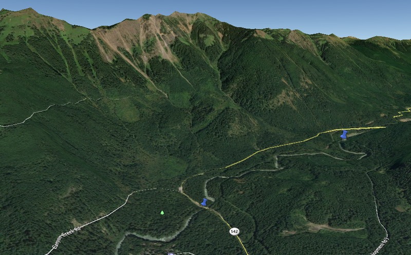
Logistics: This run is approximatly 30 miles from Bellingham, east of the town of Maple Falls on Highway 542. As you make the drive towards Mt. Baker, you will first reach the take-out access at the bridge at Highway 542 mile 35.4. This is Douglas Fir Campground and you will find parking for river day-use on the upstream river right side of the bridge. Sign i
...Jun 8, 2017
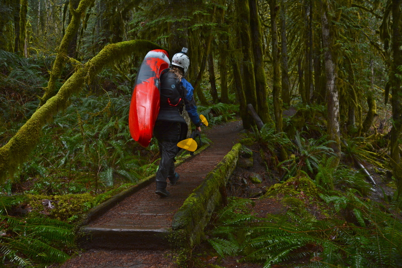
This trail is riverside for the meat of the run and can be used to scout, portage, or carry up to run laps of the best section.
Nov 12, 2016
Ski Season came early.
Nov. 10 - 3:30 - 65 degrees
https://youtu.be/\_mIA8ph3J5c
Nov 12, 2016
Went to Church (Mountain) @ 1,700 CFS
2016 Video: https://youtu.be/iPWTUOr4NnA